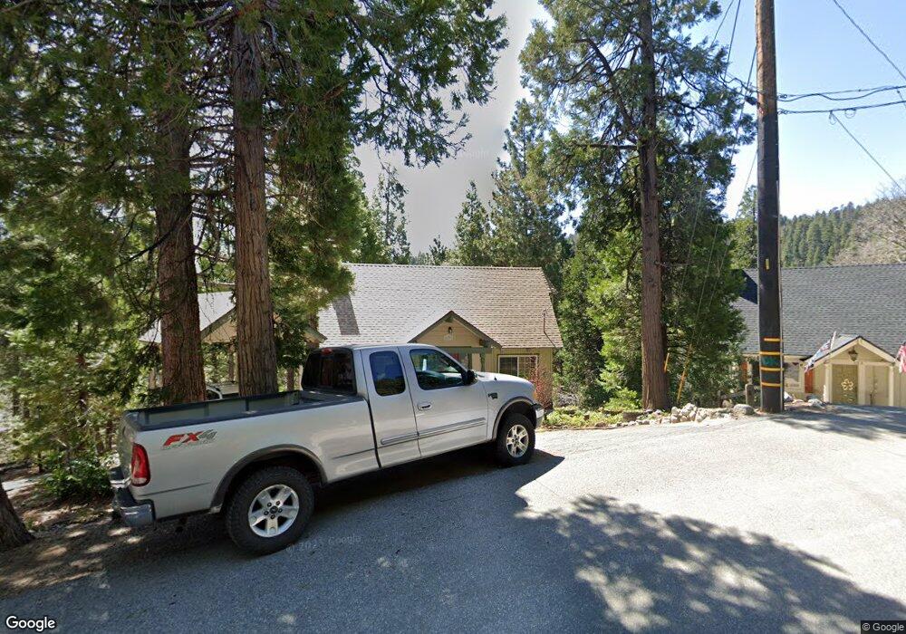
679 Robin Dr Twin Peaks, CA 92391
Estimated Value: $485,599 - $625,000
4
Beds
3
Baths
1,623
Sq Ft
$346/Sq Ft
Est. Value
About This Home
This home is located at 679 Robin Dr, Twin Peaks, CA 92391 and is currently estimated at $561,650, approximately $346 per square foot. 679 Robin Dr is a home with nearby schools including Lake Arrowhead Elementary School, Mary P. Henck Intermediate School, and Rim Of The World Senior High School.
Ownership History
Date
Name
Owned For
Owner Type
Purchase Details
Closed on
Apr 15, 2024
Sold by
Whyte Scott W and Whyte Jackie L
Bought by
Sj Whyte Family Trust and Whyte
Current Estimated Value
Purchase Details
Closed on
Jun 26, 2000
Sold by
Ryan Robert W
Bought by
Whyte Scott W and Whyte Jackie L
Home Financials for this Owner
Home Financials are based on the most recent Mortgage that was taken out on this home.
Original Mortgage
$137,750
Interest Rate
8.53%
Mortgage Type
Purchase Money Mortgage
Create a Home Valuation Report for This Property
The Home Valuation Report is an in-depth analysis detailing your home's value as well as a comparison with similar homes in the area
Home Values in the Area
Average Home Value in this Area
Purchase History
| Date | Buyer | Sale Price | Title Company |
|---|---|---|---|
| Sj Whyte Family Trust | -- | None Listed On Document | |
| Whyte Scott W | $145,000 | Lawyers Title Company |
Source: Public Records
Mortgage History
| Date | Status | Borrower | Loan Amount |
|---|---|---|---|
| Previous Owner | Whyte Scott W | $137,750 |
Source: Public Records
Tax History Compared to Growth
Tax History
| Year | Tax Paid | Tax Assessment Tax Assessment Total Assessment is a certain percentage of the fair market value that is determined by local assessors to be the total taxable value of land and additions on the property. | Land | Improvement |
|---|---|---|---|---|
| 2025 | $3,603 | $222,858 | $55,713 | $167,145 |
| 2024 | $3,603 | $218,489 | $54,621 | $163,868 |
| 2023 | $3,540 | $214,205 | $53,550 | $160,655 |
| 2022 | $3,454 | $210,005 | $52,500 | $157,505 |
| 2021 | $3,415 | $205,888 | $51,471 | $154,417 |
| 2020 | $3,420 | $203,777 | $50,943 | $152,834 |
| 2019 | $3,333 | $199,781 | $49,944 | $149,837 |
| 2018 | $3,031 | $195,864 | $48,965 | $146,899 |
| 2017 | $2,965 | $192,024 | $48,005 | $144,019 |
| 2016 | $2,846 | $188,259 | $47,064 | $141,195 |
| 2015 | $2,846 | $185,431 | $46,357 | $139,074 |
| 2014 | $2,792 | $181,799 | $45,449 | $136,350 |
Source: Public Records
Map
Nearby Homes
- 26582 Lake Forest Dr
- 26638 Lake Forest Dr
- 26625 Lake Forest Dr
- 26509 Lake Forest Dr
- 26645 Lake Forest Dr
- 26432 Lake Forest Dr
- 26486 Forest Ln
- 0 Forest Ln Unit PW25157119
- 26669 State Highway 189
- 26491 Fernrock Rd
- 930 Willow Springs Dr
- 26370 Alpine Ln
- 0 California 189
- 0 California 189
- 8 Lake Forest Dr
- 26757 California 189
- 872 Sierra Vista Dr Unit 30
- 872 Sierra Vista Dr Unit 9
- 872 Sierra Vista Dr Unit 10
- 26770 California 189
- 673 Robin Dr
- 683 Robin Dr
- 674 Robin Dr
- 688 Oak Rd
- 665 Robin Dr
- 26593 Lake Forest Dr
- 662 Robin Dr
- 786 Oak Rd
- 688 Robin Dr
- 653 Robin Dr
- 688 Oak Rd
- 663 Maxson Dr
- 683 Maxson Dr
- 26547 Lake Forest Dr
- 687 Oak Dr
- 26500 State Highway 189
- 26500 California 189
- 26600 Lake Forest Dr
- 679 Oak Rd
- 26619 Lake Forest Dr