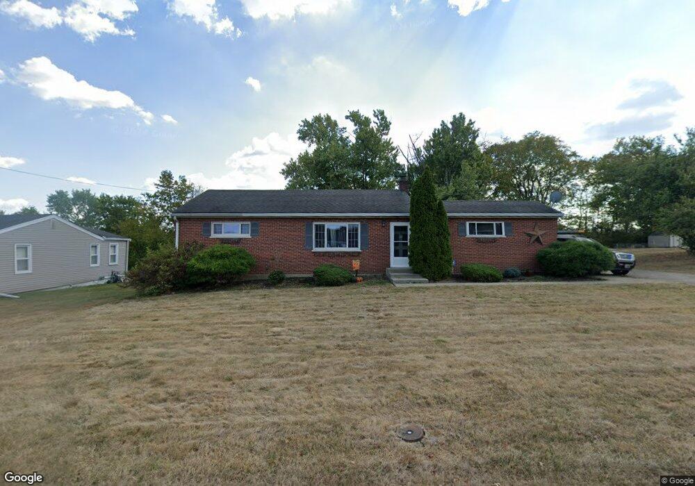
679 Wayskin Dr Covington, KY 41015
South Covington NeighborhoodEstimated Value: $186,806 - $256,000
3
Beds
1
Bath
945
Sq Ft
$230/Sq Ft
Est. Value
About This Home
This home is located at 679 Wayskin Dr, Covington, KY 41015 and is currently estimated at $216,952, approximately $229 per square foot. 679 Wayskin Dr is a home located in Kenton County with nearby schools including Taylor Mill Elementary School, Woodland Middle School, and Scott High School.
Ownership History
Date
Name
Owned For
Owner Type
Purchase Details
Closed on
Jun 10, 2025
Sold by
Dalton Andrew Alan
Bought by
Trauth Bradley A
Current Estimated Value
Purchase Details
Closed on
Feb 15, 2021
Sold by
Trauth Bradley A and Trauth Elizabeth K
Bought by
Trauth Bradley A and Dalton Andrew Alan
Purchase Details
Closed on
Mar 9, 2009
Sold by
The Bank Of New York Mellon Trust Compan
Bought by
Trauth Bradley A
Purchase Details
Closed on
Dec 18, 2003
Sold by
Rogers Mary
Bought by
Rogers Mary and Rogers Robin
Purchase Details
Closed on
Sep 25, 2003
Sold by
Rogers John W
Bought by
Rogers Mary
Purchase Details
Closed on
Feb 3, 1995
Sold by
John B Rogers Est
Bought by
Rogers John W
Create a Home Valuation Report for This Property
The Home Valuation Report is an in-depth analysis detailing your home's value as well as a comparison with similar homes in the area
Home Values in the Area
Average Home Value in this Area
Purchase History
| Date | Buyer | Sale Price | Title Company |
|---|---|---|---|
| Trauth Bradley A | $72,000 | None Listed On Document | |
| Trauth Bradley A | $72,000 | None Listed On Document | |
| Trauth Bradley A | -- | None Available | |
| Trauth Bradley A | $58,000 | None Available | |
| Rogers Mary | -- | -- | |
| Rogers Mary | -- | -- | |
| Rogers John W | $76,000 | -- |
Source: Public Records
Tax History
| Year | Tax Paid | Tax Assessment Tax Assessment Total Assessment is a certain percentage of the fair market value that is determined by local assessors to be the total taxable value of land and additions on the property. | Land | Improvement |
|---|---|---|---|---|
| 2025 | $1,427 | $144,000 | $10,000 | $134,000 |
| 2024 | $1,476 | $144,000 | $10,000 | $134,000 |
| 2023 | $1,535 | $144,000 | $10,000 | $134,000 |
| 2022 | $1,616 | $144,000 | $10,000 | $134,000 |
| 2021 | $950 | $80,000 | $10,000 | $70,000 |
| 2020 | $959 | $80,000 | $10,000 | $70,000 |
| 2019 | $962 | $80,000 | $10,000 | $70,000 |
| 2018 | $964 | $80,000 | $10,000 | $70,000 |
| 2017 | $939 | $80,000 | $15,000 | $65,000 |
| 2015 | $1,157 | $75,000 | $15,000 | $60,000 |
| 2014 | $1,063 | $75,000 | $15,000 | $60,000 |
Source: Public Records
Map
Nearby Homes
- 1479 Hands Pike
- 83 Pitman Ct
- 3253 Highridge Dr
- 5619 Taylor Mill Rd
- 9121 Tamarack Dr
- 9137 Tamarack Dr
- 10 Ridgeport Dr
- 1 Ridgeport Dr
- 1192 Hands Pike
- 9738 Cloveridge Dr
- 714 Saint Matthews Cir
- 111 Green Hill Dr
- 9258 Hawksridge Dr
- 668 Ridgeway Dr
- 46 Waterside Way
- 812 Rockdale Ct
- 782 Morning Glory Dr
- 2465 Cetona Way Unit 408-300
- 907 Stablewatch Dr
- 838 Stablewatch Dr
Your Personal Tour Guide
Ask me questions while you tour the home.