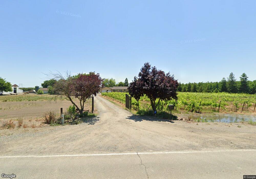
6790 S Butte Rd Sutter, CA 95982
Estimated Value: $396,000 - $718,393
4
Beds
3
Baths
3,019
Sq Ft
$196/Sq Ft
Est. Value
About This Home
This home is located at 6790 S Butte Rd, Sutter, CA 95982 and is currently estimated at $591,598, approximately $195 per square foot. 6790 S Butte Rd is a home located in Sutter County with nearby schools including Brittan Elementary School, Sutter High School, and Faith Christian Schools.
Ownership History
Date
Name
Owned For
Owner Type
Purchase Details
Closed on
Aug 22, 2013
Sold by
Munger Larry and Munger Eleanor
Bought by
Munger Larry and Munger Eleanor
Current Estimated Value
Purchase Details
Closed on
Mar 2, 2001
Sold by
Va
Bought by
Munger Larry E and Munger Eleanor
Home Financials for this Owner
Home Financials are based on the most recent Mortgage that was taken out on this home.
Original Mortgage
$177,000
Outstanding Balance
$64,210
Interest Rate
6.97%
Estimated Equity
$527,388
Create a Home Valuation Report for This Property
The Home Valuation Report is an in-depth analysis detailing your home's value as well as a comparison with similar homes in the area
Home Values in the Area
Average Home Value in this Area
Purchase History
| Date | Buyer | Sale Price | Title Company |
|---|---|---|---|
| Munger Larry | -- | None Available | |
| Munger Larry E | -- | First American Title Ins Co |
Source: Public Records
Mortgage History
| Date | Status | Borrower | Loan Amount |
|---|---|---|---|
| Open | Munger Larry E | $177,000 |
Source: Public Records
Tax History
| Year | Tax Paid | Tax Assessment Tax Assessment Total Assessment is a certain percentage of the fair market value that is determined by local assessors to be the total taxable value of land and additions on the property. | Land | Improvement |
|---|---|---|---|---|
| 2025 | $3,574 | $325,278 | $9,559 | $315,719 |
| 2024 | $3,574 | $318,901 | $9,372 | $309,529 |
| 2023 | $3,574 | $312,649 | $9,189 | $303,460 |
| 2022 | $3,394 | $306,519 | $9,009 | $297,510 |
| 2021 | $3,363 | $300,552 | $8,852 | $291,700 |
| 2020 | $4,250 | $297,471 | $8,762 | $288,709 |
| 2019 | $3,348 | $303,150 | $8,590 | $294,560 |
| 2018 | $3,444 | $309,266 | $8,421 | $300,845 |
| 2017 | $3,328 | $310,056 | $8,256 | $301,800 |
| 2016 | $3,333 | $306,896 | $8,094 | $298,802 |
Source: Public Records
Map
Nearby Homes
- 2371 Elm St
- 7662 Washington St
- 1939 1st Ave
- 7669 Barrow St
- 2431 Madrone St
- 2227 W Ridge Dr
- 7830 Griffith Ln
- 1244 Acacia Ave
- 2211 W Ridge Dr
- 2185 Perry St
- 5576 S Butte Rd
- 2634 Madrone St
- 2637 Acacia Ave
- 8617 S Butte Rd
- 8970 S Butte Rd
- 8454 Pass Rd
- 4423 Dresser Rd
- 2065 Howlett Ave
- 2269 N Township Rd
- 3327 Sam Brannan Way
- 6860 S Butte Rd
- 6863 S Butte Rd
- 7027 S Butte Rd
- 2048 Locust St
- 2060 Locust St
- 2039 Mulberry St
- 2096 Locust St
- 2059 Mulberry St
- 2008 Mulberry St
- 2093 Mulberry St
- 7017 Lyon St
- 2028 Mulberry St
- 2050 Mulberry St
- 2130 Locust St
- 2070 Mulberry St
- 7067 Lyon St
- 2005 Pepper St
- 2065 Pepper St
- 2120 Mulberry St
- 2093 Pepper St
Your Personal Tour Guide
Ask me questions while you tour the home.