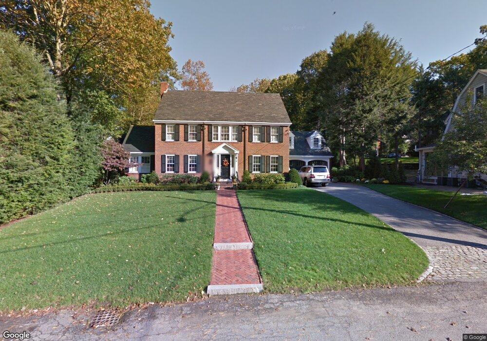
68 Colbert Rd E West Newton, MA 02465
West Newton NeighborhoodEstimated Value: $2,247,942 - $2,766,000
4
Beds
3
Baths
3,437
Sq Ft
$716/Sq Ft
Est. Value
About This Home
This home is located at 68 Colbert Rd E, West Newton, MA 02465 and is currently estimated at $2,461,486, approximately $716 per square foot. 68 Colbert Rd E is a home located in Middlesex County with nearby schools including Peirce Elementary School, F.A. Day Middle School, and Newton North High School.
Ownership History
Date
Name
Owned For
Owner Type
Purchase Details
Closed on
Apr 21, 1995
Sold by
Est Barton Frances F and Magnuson Harold E
Bought by
Magliozzi James A and Magliozzi Heather J
Current Estimated Value
Home Financials for this Owner
Home Financials are based on the most recent Mortgage that was taken out on this home.
Original Mortgage
$340,000
Interest Rate
8.55%
Mortgage Type
Purchase Money Mortgage
Create a Home Valuation Report for This Property
The Home Valuation Report is an in-depth analysis detailing your home's value as well as a comparison with similar homes in the area
Home Values in the Area
Average Home Value in this Area
Purchase History
| Date | Buyer | Sale Price | Title Company |
|---|---|---|---|
| Magliozzi James A | $510,000 | -- |
Source: Public Records
Mortgage History
| Date | Status | Borrower | Loan Amount |
|---|---|---|---|
| Closed | Magliozzi James A | $340,000 | |
| Closed | Magliozzi James A | $340,000 | |
| Closed | Magliozzi James A | $68,000 |
Source: Public Records
Tax History Compared to Growth
Tax History
| Year | Tax Paid | Tax Assessment Tax Assessment Total Assessment is a certain percentage of the fair market value that is determined by local assessors to be the total taxable value of land and additions on the property. | Land | Improvement |
|---|---|---|---|---|
| 2025 | $20,879 | $2,130,500 | $1,227,800 | $902,700 |
| 2024 | $20,188 | $2,068,400 | $1,192,000 | $876,400 |
| 2023 | $19,253 | $1,891,300 | $923,200 | $968,100 |
| 2022 | $18,423 | $1,751,200 | $854,800 | $896,400 |
| 2021 | $17,777 | $1,652,100 | $806,400 | $845,700 |
| 2020 | $17,248 | $1,652,100 | $806,400 | $845,700 |
| 2019 | $16,762 | $1,604,000 | $782,900 | $821,100 |
| 2018 | $16,245 | $1,501,400 | $704,700 | $796,700 |
| 2017 | $15,750 | $1,416,400 | $664,800 | $751,600 |
| 2016 | $15,064 | $1,323,700 | $621,300 | $702,400 |
| 2015 | $14,363 | $1,237,100 | $580,700 | $656,400 |
Source: Public Records
Map
Nearby Homes
- 73 Valentine St
- 97 Valentine St
- 55 Grove Hill Park
- 19 Gordon Rd
- 55 Evelyn Rd
- 155 Paulson Rd
- 18 Sewall St
- 40 Sewall St
- 123 Mount Vernon St Unit 2
- 123-125 Mount Vernon St
- 1430 Beacon St
- 1114 Beacon St Unit 203
- 1114 Beacon St Unit 111
- 1114 Beacon St Unit 104
- 1114 Beacon St Unit 207
- 34 Morton Rd
- 26 Wilson Cir Unit 26
- 28 Wilson Cir Unit 28
- 32 Wilson Cir Unit 32
- 22 Walnut Place Unit 1