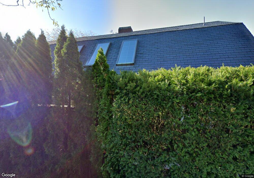
68 Davis Ln Edgartown, MA 02539
Edgartown NeighborhoodEstimated Value: $5,899,306 - $7,659,000
Studio
3
Baths
--
Sq Ft
0.37
Acres Lot
About This Home
This home is located at 68 Davis Ln, Edgartown, MA 02539 and is currently estimated at $6,779,153. 68 Davis Ln is a home located in Dukes County with nearby schools including Edgartown Elementary School and Martha's Vineyard Regional High School.
Ownership History
Date
Name
Owned For
Owner Type
Purchase Details
Closed on
Aug 29, 2003
Sold by
Davis Lane Rt and Conover Gerret C
Bought by
Mills Rt and Ahearn Marsha Mills
Current Estimated Value
Create a Home Valuation Report for This Property
The Home Valuation Report is an in-depth analysis detailing your home's value as well as a comparison with similar homes in the area
Home Values in the Area
Average Home Value in this Area
Purchase History
We collect this data history from publicly available records. To have your information removed, we recommend requesting removal directly through your county’s website.
| Date | Buyer | Sale Price | Title Company |
|---|---|---|---|
| Mills Rt | $125,000 | -- |
Source: Public Records
Mortgage History
We collect this data history from publicly available records. To have your information removed, we recommend requesting removal directly through your county’s website.
| Date | Status | Borrower | Loan Amount |
|---|---|---|---|
| Open | Mills Rt | $200,000 | |
| Open | Mills Rt | $1,864,996 |
Source: Public Records
Tax History
| Year | Tax Paid | Tax Assessment Tax Assessment Total Assessment is a certain percentage of the fair market value that is determined by local assessors to be the total taxable value of land and additions on the property. | Land | Improvement |
|---|---|---|---|---|
| 2025 | $17,149 | $6,471,400 | $1,876,300 | $4,595,100 |
| 2024 | $15,886 | $6,229,800 | $1,876,300 | $4,353,500 |
| 2023 | $15,409 | $6,114,600 | $1,906,100 | $4,208,500 |
| 2022 | $14,297 | $4,718,400 | $2,040,100 | $2,678,300 |
| 2021 | $15,331 | $4,674,100 | $1,705,800 | $2,968,300 |
| 2020 | $15,386 | $4,592,900 | $1,624,600 | $2,968,300 |
| 2019 | $16,652 | $4,302,900 | $1,624,600 | $2,678,300 |
| 2018 | $15,042 | $3,886,800 | $1,489,200 | $2,397,600 |
| 2017 | $12,137 | $3,418,900 | $1,489,200 | $1,929,700 |
| 2016 | $12,376 | $3,418,900 | $1,489,200 | $1,929,700 |
| 2015 | $12,012 | $3,461,700 | $1,613,200 | $1,848,500 |
Source: Public Records
Map
Nearby Homes
- 52 S Summer St
- 43 Peases Point Way S
- 10 Tilton Way
- 69 School St
- 13 Plantingfield Way
- 56 N Summer St
- 62 N Summer St
- 32 Norton Orchard Rd
- 44 Plantingfield Way
- 8 Atwood Cir
- 24 Atwood Cir
- 23 Pinehurst Rd
- 31 North St
- 218 Upper Main St
- 15 Chapman Ln Unit 111.1
- 114 N Water St
- 38 Pinehurst Rd
- 15 Chapman La
- 17 Chapman Ln
- 54 Fuller St
Your Personal Tour Guide
Ask me questions while you tour the home.