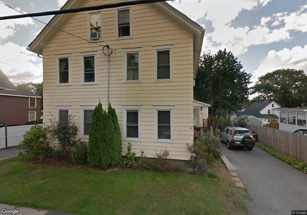
68 High St Amesbury, MA 01913
Estimated Value: $500,000 - $596,000
4
Beds
3
Baths
1,869
Sq Ft
$290/Sq Ft
Est. Value
About This Home
This home is located at 68 High St, Amesbury, MA 01913 and is currently estimated at $541,902, approximately $289 per square foot. 68 High St is a home located in Essex County with nearby schools including Amesbury High School and Amesbury Seventh-Day Adventist School.
Ownership History
Date
Name
Owned For
Owner Type
Purchase Details
Closed on
Jun 14, 2007
Sold by
Knight Muriel D and Knight-Flaherty Valerie A
Bought by
Knight-Flaherty Valerie A
Current Estimated Value
Home Financials for this Owner
Home Financials are based on the most recent Mortgage that was taken out on this home.
Original Mortgage
$165,000
Interest Rate
6.19%
Mortgage Type
Purchase Money Mortgage
Purchase Details
Closed on
Sep 27, 2002
Sold by
Jurgelon Lauren
Bought by
Flaherty Christopher J and Flaherty Valerie Ann
Home Financials for this Owner
Home Financials are based on the most recent Mortgage that was taken out on this home.
Original Mortgage
$165,000
Interest Rate
6.25%
Mortgage Type
Purchase Money Mortgage
Purchase Details
Closed on
Jan 10, 2002
Sold by
Farmer Michael P and Farmer Gail A
Bought by
Jurgelon Lauren
Create a Home Valuation Report for This Property
The Home Valuation Report is an in-depth analysis detailing your home's value as well as a comparison with similar homes in the area
Home Values in the Area
Average Home Value in this Area
Purchase History
| Date | Buyer | Sale Price | Title Company |
|---|---|---|---|
| Knight-Flaherty Valerie A | -- | -- | |
| Flaherty Christopher J | $265,000 | -- | |
| Jurgelon Lauren | $239,900 | -- |
Source: Public Records
Mortgage History
| Date | Status | Borrower | Loan Amount |
|---|---|---|---|
| Open | Jurgelon Lauren | $181,000 | |
| Closed | Jurgelon Lauren | $165,000 | |
| Previous Owner | Jurgelon Lauren | $165,000 | |
| Previous Owner | Jurgelon Lauren | $71,750 |
Source: Public Records
Tax History Compared to Growth
Tax History
| Year | Tax Paid | Tax Assessment Tax Assessment Total Assessment is a certain percentage of the fair market value that is determined by local assessors to be the total taxable value of land and additions on the property. | Land | Improvement |
|---|---|---|---|---|
| 2025 | $6,968 | $455,400 | $0 | $455,400 |
| 2024 | $6,362 | $406,800 | $0 | $406,800 |
| 2023 | $6,559 | $401,400 | $0 | $401,400 |
| 2022 | $6,146 | $347,400 | $0 | $347,400 |
| 2021 | $4,873 | $267,000 | $0 | $267,000 |
| 2020 | $4,551 | $264,900 | $0 | $264,900 |
| 2019 | $4,396 | $239,300 | $0 | $239,300 |
| 2018 | $4,544 | $239,300 | $0 | $239,300 |
| 2017 | $4,602 | $230,700 | $0 | $230,700 |
| 2016 | $4,374 | $215,700 | $0 | $215,700 |
| 2015 | $4,297 | $209,200 | $0 | $209,200 |
| 2014 | $4,387 | $209,200 | $0 | $209,200 |
Source: Public Records
Map
Nearby Homes
- 81 High St Unit 27
- 37 Millyard Unit 204
- 48 Orchard St
- 17 Linwood Place
- 53 Market St
- 19 Perkins St
- 101 Market St Unit B
- 101 Market St Unit A
- 103 Market St Unit A
- 103 Market St Unit B
- 105 Market St Unit B
- 4 Lincoln Ct
- 25 Cedar St Unit 4
- 25 Cedar St Unit 7
- 24 Aubin St Unit 2
- 5 Richs Ct Unit 3
- 13 Lincoln Ct
- 17 Lincoln Ct
- 129 Friend St
- 43 Aubin St Unit 1