68 Pointe Trinity Dr Strafford, NH 03884
Estimated Value: $711,865 - $1,042,000
3
Beds
3
Baths
2,220
Sq Ft
$406/Sq Ft
Est. Value
About This Home
This home is located at 68 Pointe Trinity Dr, Strafford, NH 03884 and is currently estimated at $901,966, approximately $406 per square foot. 68 Pointe Trinity Dr is a home located in Strafford County with nearby schools including Strafford School and Coe-Brown Northwood Academy.
Ownership History
Date
Name
Owned For
Owner Type
Purchase Details
Closed on
Jul 9, 2013
Sold by
Brassard Norman W and Brassard Louise P
Bought by
Brassard Ft and Brassard Norman W
Current Estimated Value
Purchase Details
Closed on
Sep 5, 2007
Sold by
Johns Arthur K and Johns Karen S
Bought by
Brassard Norman W and Brassard Louise P
Home Financials for this Owner
Home Financials are based on the most recent Mortgage that was taken out on this home.
Original Mortgage
$100,000
Interest Rate
6.74%
Mortgage Type
Purchase Money Mortgage
Create a Home Valuation Report for This Property
The Home Valuation Report is an in-depth analysis detailing your home's value as well as a comparison with similar homes in the area
Home Values in the Area
Average Home Value in this Area
Purchase History
| Date | Buyer | Sale Price | Title Company |
|---|---|---|---|
| Brassard Ft | -- | -- | |
| Brassard Norman W | $840,000 | -- |
Source: Public Records
Mortgage History
| Date | Status | Borrower | Loan Amount |
|---|---|---|---|
| Previous Owner | Brassard Norman W | $53,000 | |
| Previous Owner | Brassard Norman W | $91,000 | |
| Previous Owner | Brassard Norman W | $100,000 |
Source: Public Records
Tax History
| Year | Tax Paid | Tax Assessment Tax Assessment Total Assessment is a certain percentage of the fair market value that is determined by local assessors to be the total taxable value of land and additions on the property. | Land | Improvement |
|---|---|---|---|---|
| 2024 | $10,421 | $527,400 | $177,200 | $350,200 |
| 2023 | $9,842 | $528,000 | $177,200 | $350,800 |
| 2022 | $9,045 | $528,000 | $177,200 | $350,800 |
| 2021 | $9,747 | $528,000 | $177,200 | $350,800 |
| 2020 | $9,580 | $373,500 | $144,800 | $228,700 |
| 2019 | $8,766 | $373,500 | $144,800 | $228,700 |
| 2018 | $8,826 | $373,500 | $144,800 | $228,700 |
| 2016 | $7,937 | $373,500 | $144,800 | $228,700 |
| 2015 | $8,046 | $368,900 | $170,800 | $198,100 |
| 2014 | $8,544 | $368,900 | $170,800 | $198,100 |
| 2013 | $8,335 | $367,500 | $170,800 | $196,700 |
| 2012 | $8,225 | $367,500 | $170,800 | $196,700 |
Source: Public Records
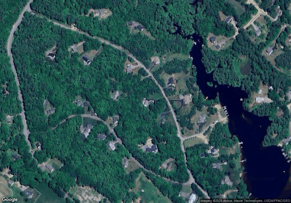
Map
Nearby Homes
- 114 Bow Lake Estates Rd
- 133 & 137 Browns Pasture Rd
- 239 Long Pond Rd
- Map 3 Lot 18-2b and 18-2c Water St
- Map 219 Lot 6-8 Ridge Rd
- 18 Collins Dr
- 0 1st New Hampshire Turnpike Unit 5013320
- 150A 1st New Hampshire Turnpike
- 26 Harmony Rd
- 73 Harvey Lake Rd
- 2 Oak Ct
- 26 Oak St
- 641 & 647 First nh Turnpike
- 11 Chestnut Ln
- M37 L40 Beaver Rd
- 17 Brook Cir
- 617 1st New Hampshire Turnpike Unit 9
- R11 07 Clough Rd
- 7 Chestnut Ln
- 21 Brook Cir
- 74 Pointe Trinity Dr
- 58 Pointe Trinity Dr
- 37 Carter Way
- 52 Pointe Trinity Dr
- 71 Pointe Trinity Dr
- 67 Pointe Trinity Dr
- 84 Pointe Trinity Dr
- 84 Pointe Trinity Dr Unit 1
- 55 Pointe Trinity Dr
- 85 Pointe Trinity Dr
- 40 Carter Way
- 38 Carter Way
- 24 Carter Way
- 92 Pointe Trinity Dr
- 27 Carter Way
- 50 Carter Way
- 36 Pointe Trinity Dr
- 41 Pointe Trinity Dr
- 41 Pointe Trinity Dr
- 95 Pointe Trinity Dr
Your Personal Tour Guide
Ask me questions while you tour the home.