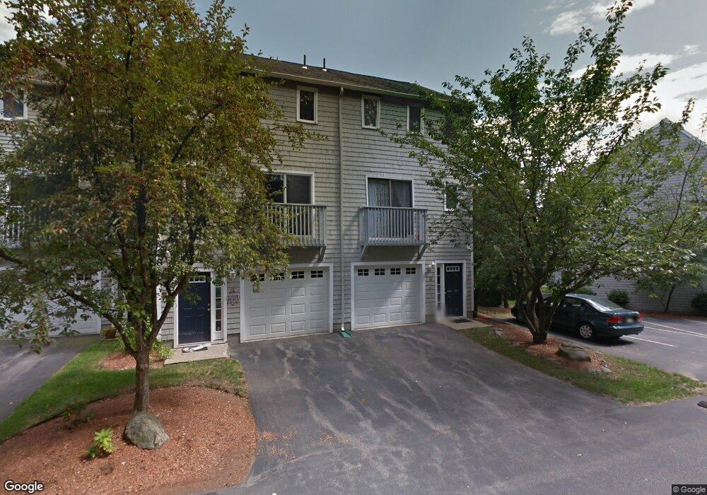
68 Profile Cir Nashua, NH 03063
Northwest Nashua NeighborhoodEstimated Value: $332,000 - $349,000
2
Beds
2
Baths
1,039
Sq Ft
$328/Sq Ft
Est. Value
About This Home
This home is located at 68 Profile Cir, Nashua, NH 03063 and is currently estimated at $340,525, approximately $327 per square foot. 68 Profile Cir is a home located in Hillsborough County with nearby schools including Charlotte Ave Elementary School, Pennichuck Middle School, and Nashua High School North.
Ownership History
Date
Name
Owned For
Owner Type
Purchase Details
Closed on
Aug 1, 2006
Sold by
Chabot Daniel R
Bought by
Palmer Junia M
Current Estimated Value
Home Financials for this Owner
Home Financials are based on the most recent Mortgage that was taken out on this home.
Original Mortgage
$167,000
Outstanding Balance
$99,253
Interest Rate
6.67%
Mortgage Type
Purchase Money Mortgage
Estimated Equity
$241,272
Purchase Details
Closed on
Jun 27, 2005
Sold by
Markow Theodore A and Markow Jacqueline A
Bought by
Chabot Daniel R
Home Financials for this Owner
Home Financials are based on the most recent Mortgage that was taken out on this home.
Original Mortgage
$149,600
Interest Rate
5.82%
Mortgage Type
Purchase Money Mortgage
Create a Home Valuation Report for This Property
The Home Valuation Report is an in-depth analysis detailing your home's value as well as a comparison with similar homes in the area
Home Values in the Area
Average Home Value in this Area
Purchase History
| Date | Buyer | Sale Price | Title Company |
|---|---|---|---|
| Palmer Junia M | $196,500 | -- | |
| Chabot Daniel R | $187,000 | -- |
Source: Public Records
Mortgage History
| Date | Status | Borrower | Loan Amount |
|---|---|---|---|
| Open | Chabot Daniel R | $167,000 | |
| Previous Owner | Chabot Daniel R | $149,600 | |
| Previous Owner | Chabot Daniel R | $149,600 |
Source: Public Records
Tax History Compared to Growth
Tax History
| Year | Tax Paid | Tax Assessment Tax Assessment Total Assessment is a certain percentage of the fair market value that is determined by local assessors to be the total taxable value of land and additions on the property. | Land | Improvement |
|---|---|---|---|---|
| 2024 | $5,039 | $316,900 | $0 | $316,900 |
| 2023 | $5,015 | $275,100 | $0 | $275,100 |
| 2022 | $4,971 | $275,100 | $0 | $275,100 |
| 2021 | $3,913 | $168,500 | $0 | $168,500 |
| 2020 | $3,810 | $168,500 | $0 | $168,500 |
| 2019 | $3,667 | $168,500 | $0 | $168,500 |
| 2018 | $3,574 | $168,500 | $0 | $168,500 |
| 2017 | $3,268 | $126,700 | $0 | $126,700 |
| 2016 | $3,176 | $126,700 | $0 | $126,700 |
| 2015 | $3,108 | $126,700 | $0 | $126,700 |
Source: Public Records
Map
Nearby Homes
- 74 Profile Cir
- 58 Profile Cir
- 123 Cannongate III
- 7 Robert Dr
- 33 Ferry Rd
- 19 Dunloggin Rd
- 3 Wright Rd
- 22 Berkshire Rd
- 3 Paddington Place
- 17 Danbury Rd
- 31 Ashland St
- 38 Highbridge Hill Rd Unit 186
- 5 Chatfield Dr Unit U18
- 11 Amherst Terrace
- 4 Jared Cir Unit U21
- 239 Broad St
- 26 Andover Down Unit 276
- 3 Opal Way Unit 3
- 1 Opal Way Unit 1
- 2 Opal Way Unit 2
- 67 Profile Cir
- 66 Profile Cir
- 65 Profile Cir
- 69 Profile Cir
- 64 Profile Cir
- 70 Profile Cir
- 63 Profile Cir
- 71 Profile Cir
- 62 Profile Cir
- 72 Profile Cir
- 72 Profile Cir Unit 72
- 61 Profile Cir
- 73 Profile Cir
- 60 Profile Cir
- 59 Profile Cir
- 25 Profile Cir
- 26 Profile Cir
- 29 Profile Cir
- 27 Profile Cir
- 31 Profile Cir