Estimated Value: $305,000 - $341,000
3
Beds
1
Bath
1,529
Sq Ft
$214/Sq Ft
Est. Value
About This Home
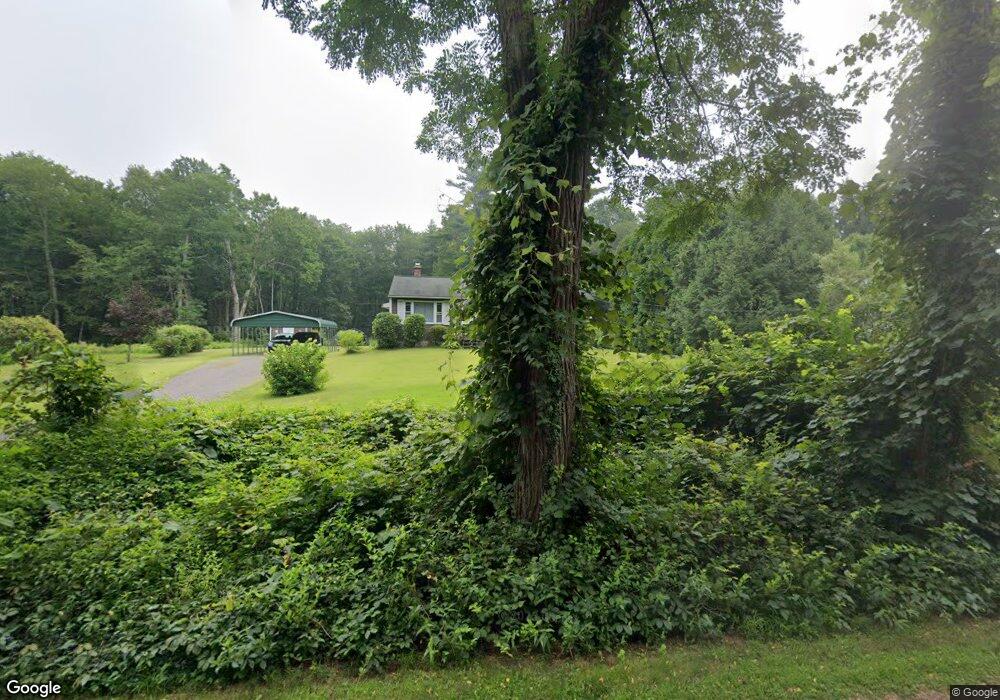
This home is located at 68 River Rd, Ware, MA 01082 and is currently estimated at $327,222, approximately $214 per square foot. 68 River Rd is a home located in Hampshire County with nearby schools including Stanley M. Koziol Elementary School, Ware Middle School, and Ware Junior/Senior High School.
Ownership History
Date
Name
Owned For
Owner Type
Purchase Details
Closed on
Sep 24, 2004
Sold by
Bousquet Paul W
Bought by
Bousquet Joann D and Bousquet Paul W
Current Estimated Value
Purchase Details
Closed on
Oct 6, 2003
Sold by
Bousquet Katrina B and Bousquet Paul W
Bought by
Bousquet Paul W
Purchase Details
Closed on
Jul 30, 1999
Sold by
Narmontas Joan I and Narmontas Steven
Bought by
Bousquet Paul W
Purchase Details
Closed on
May 17, 1990
Sold by
Hermansky Mark E
Bought by
Narmontas Steven
Create a Home Valuation Report for This Property
The Home Valuation Report is an in-depth analysis detailing your home's value as well as a comparison with similar homes in the area
Home Values in the Area
Average Home Value in this Area
Purchase History
| Date | Buyer | Sale Price | Title Company |
|---|---|---|---|
| Bousquet Joann D | -- | -- | |
| Bousquet Paul W | -- | -- | |
| Bousquet Paul W | $101,500 | -- | |
| Narmontas Steven | $115,500 | -- |
Source: Public Records
Mortgage History
| Date | Status | Borrower | Loan Amount |
|---|---|---|---|
| Open | Narmontas Steven | $24,500 | |
| Open | Narmontas Steven | $87,500 | |
| Closed | Narmontas Steven | $104,000 |
Source: Public Records
Tax History
| Year | Tax Paid | Tax Assessment Tax Assessment Total Assessment is a certain percentage of the fair market value that is determined by local assessors to be the total taxable value of land and additions on the property. | Land | Improvement |
|---|---|---|---|---|
| 2025 | $3,848 | $255,500 | $44,100 | $211,400 |
| 2024 | $3,705 | $226,900 | $41,600 | $185,300 |
| 2023 | $3,694 | $214,000 | $39,700 | $174,300 |
| 2022 | $3,628 | $187,600 | $36,800 | $150,800 |
| 2021 | $3,542 | $175,500 | $36,800 | $138,700 |
| 2020 | $3,441 | $166,800 | $36,800 | $130,000 |
| 2019 | $3,371 | $166,800 | $36,800 | $130,000 |
| 2018 | $3,239 | $156,400 | $35,000 | $121,400 |
| 2017 | $2,868 | $138,100 | $27,200 | $110,900 |
| 2016 | $2,706 | $133,900 | $27,200 | $106,700 |
| 2015 | $2,631 | $133,900 | $27,200 | $106,700 |
| 2014 | $2,693 | $147,100 | $32,700 | $114,400 |
Source: Public Records
Map
Nearby Homes
- 32 Coffey Hill Rd
- Lot 1 Monson Turnpike Rd
- 24 Monson Turnpike Rd
- Lot 7 Monson Turnpike Rd
- 0 Beach Rd
- 248 Monson Turnpike Rd
- 51 Monson Turnpike Rd Unit 1052
- Lot 17 04 & 17 05 Sabin St
- Lot 16 Coldbrook Dr
- Lot 20 Coldbrook Dr
- Lot 22 Coldbrook Dr
- Lot 13 Coldbrook Dr
- Lot 25 Coldbrook Dr
- 67 Babcock Tavern Rd
- 57 Babcock Tavern Rd
- 49 Babcock Tavern Rd
- 280 Ware Rd
- Lot 5 Babcock Tavern Rd
- Lot 4 Babcock Tavern Rd
- 375 Belchertown Rd
- 70 River Rd
- 66 River Rd
- 72 River Rd
- 76 River Rd
- 62 River Rd
- 78 River Rd
- 105 Enoch Sanford Rd
- 77 River Rd
- 111 Enoch Sanford Rd
- 95 Enoch Sanford Rd
- 84 River Rd
- 83 River Rd
- 86 River Rd
- 75 Enoch Sanford Rd
- 88 River Rd
- 41 Sherman Hill Rd
- 87 River Rd
- 19 Sherman Hill Rd
- 33 Sherman Hill Rd
- 35 Sherman Hill Rd
Your Personal Tour Guide
Ask me questions while you tour the home.