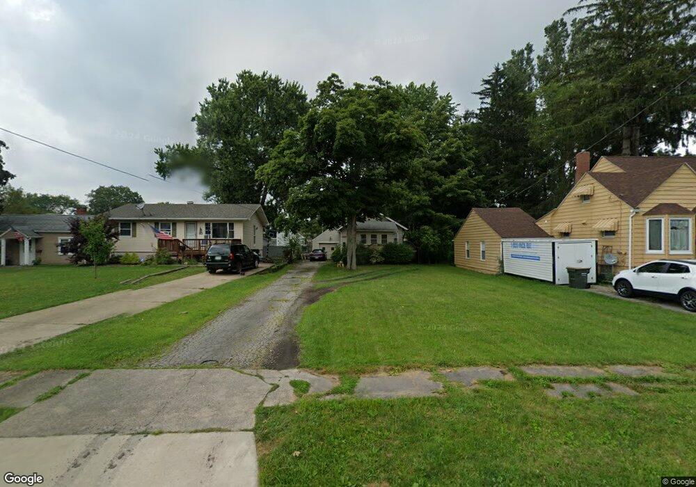
68 Sciota Ave Youngstown, OH 44512
Estimated Value: $58,000 - $129,000
2
Beds
1
Bath
520
Sq Ft
$171/Sq Ft
Est. Value
About This Home
This home is located at 68 Sciota Ave, Youngstown, OH 44512 and is currently estimated at $88,862, approximately $170 per square foot. 68 Sciota Ave is a home located in Mahoning County with nearby schools including Boardman Glenwood Junior High School, Boardman High School, and Horizon Science Academy - Youngstown.
Ownership History
Date
Name
Owned For
Owner Type
Purchase Details
Closed on
Jan 5, 2007
Sold by
Spatara Frank J and Spatara Shannon M
Bought by
Tach Jeffrey M
Current Estimated Value
Home Financials for this Owner
Home Financials are based on the most recent Mortgage that was taken out on this home.
Original Mortgage
$27,000
Outstanding Balance
$15,721
Interest Rate
6.21%
Mortgage Type
Purchase Money Mortgage
Estimated Equity
$73,141
Purchase Details
Closed on
Jul 13, 1994
Sold by
Houston Jeffrey T
Bought by
Spatara Frank J
Home Financials for this Owner
Home Financials are based on the most recent Mortgage that was taken out on this home.
Original Mortgage
$23,000
Interest Rate
8.13%
Mortgage Type
New Conventional
Purchase Details
Closed on
Oct 9, 1991
Bought by
Houston Jeffrey T
Create a Home Valuation Report for This Property
The Home Valuation Report is an in-depth analysis detailing your home's value as well as a comparison with similar homes in the area
Home Values in the Area
Average Home Value in this Area
Purchase History
| Date | Buyer | Sale Price | Title Company |
|---|---|---|---|
| Tach Jeffrey M | $30,000 | Commonwealth | |
| Spatara Frank J | $32,500 | -- | |
| Houston Jeffrey T | $30,000 | -- |
Source: Public Records
Mortgage History
| Date | Status | Borrower | Loan Amount |
|---|---|---|---|
| Open | Tach Jeffrey M | $27,000 | |
| Previous Owner | Spatara Frank J | $23,000 |
Source: Public Records
Tax History
| Year | Tax Paid | Tax Assessment Tax Assessment Total Assessment is a certain percentage of the fair market value that is determined by local assessors to be the total taxable value of land and additions on the property. | Land | Improvement |
|---|---|---|---|---|
| 2025 | $972 | $18,650 | $3,890 | $14,760 |
| 2024 | $994 | $18,650 | $3,890 | $14,760 |
| 2023 | $981 | $18,650 | $3,890 | $14,760 |
| 2022 | $954 | $13,860 | $3,870 | $9,990 |
| 2021 | $954 | $13,860 | $3,870 | $9,990 |
| 2020 | $959 | $13,860 | $3,870 | $9,990 |
| 2019 | $970 | $12,160 | $3,400 | $8,760 |
| 2018 | $795 | $12,160 | $3,400 | $8,760 |
| 2017 | $813 | $12,160 | $3,400 | $8,760 |
| 2016 | $833 | $12,660 | $3,690 | $8,970 |
| 2015 | $817 | $12,660 | $3,690 | $8,970 |
| 2014 | $819 | $12,660 | $3,690 | $8,970 |
| 2013 | $810 | $12,660 | $3,690 | $8,970 |
Source: Public Records
Map
Nearby Homes
- 165 Mathews Rd Unit A
- 191 Mathews Rd Unit A
- 5503 Southern Blvd
- 6511 Pembrooke Place
- 6001 Applecrest Dr
- 27 Erskine Ave
- 0 Mathews Rd Unit 5038026
- 96 Aylesboro Ave
- 123 Melrose Ave
- 162 Erskine Ave
- 321 Meadowbrook Ave Unit 323
- 31 Rockdale Ave
- 311 Brainard Dr
- 190 Melrose Ave
- 6785 Tanglewood Dr
- 7046 Southern Blvd
- 7120-7122 Glendale Ave
- 354 Ewing Rd
- 390 Ridgefield Ave
- 6180 Northlawn Ave
Your Personal Tour Guide
Ask me questions while you tour the home.