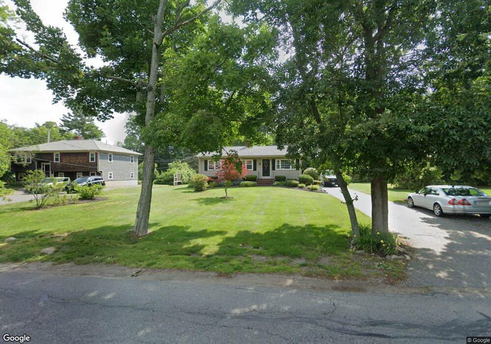
680 Burt St Taunton, MA 02780
Wades Corner NeighborhoodEstimated Value: $433,585 - $474,000
3
Beds
1
Bath
1,040
Sq Ft
$442/Sq Ft
Est. Value
About This Home
This home is located at 680 Burt St, Taunton, MA 02780 and is currently estimated at $459,396, approximately $441 per square foot. 680 Burt St is a home located in Bristol County with nearby schools including Edmund Hatch Bennett School, Benjamin Friedman Middle School, and Taunton High School.
Ownership History
Date
Name
Owned For
Owner Type
Purchase Details
Closed on
Dec 8, 2022
Sold by
Gallagher Dorey A
Bought by
680 Burt St Rt
Current Estimated Value
Purchase Details
Closed on
Nov 21, 2006
Sold by
Seekell John J
Bought by
Gallagher Dorey A and Seekell Gordon C
Create a Home Valuation Report for This Property
The Home Valuation Report is an in-depth analysis detailing your home's value as well as a comparison with similar homes in the area
Home Values in the Area
Average Home Value in this Area
Purchase History
| Date | Buyer | Sale Price | Title Company |
|---|---|---|---|
| 680 Burt St Rt | -- | None Available | |
| Gallagher Dorey A | -- | -- |
Source: Public Records
Tax History Compared to Growth
Tax History
| Year | Tax Paid | Tax Assessment Tax Assessment Total Assessment is a certain percentage of the fair market value that is determined by local assessors to be the total taxable value of land and additions on the property. | Land | Improvement |
|---|---|---|---|---|
| 2025 | $4,053 | $370,500 | $126,600 | $243,900 |
| 2024 | $3,800 | $339,600 | $126,600 | $213,000 |
| 2023 | $3,742 | $310,500 | $126,600 | $183,900 |
| 2022 | $3,557 | $269,900 | $105,500 | $164,400 |
| 2021 | $3,381 | $238,100 | $95,900 | $142,200 |
| 2020 | $3,373 | $227,000 | $95,900 | $131,100 |
| 2019 | $3,526 | $223,700 | $95,900 | $127,800 |
| 2018 | $3,282 | $208,800 | $96,900 | $111,900 |
| 2017 | $3,156 | $200,900 | $91,800 | $109,100 |
| 2016 | $3,043 | $194,100 | $89,200 | $104,900 |
| 2015 | $2,942 | $196,000 | $89,700 | $106,300 |
| 2014 | $2,694 | $184,400 | $81,000 | $103,400 |
Source: Public Records
Map
Nearby Homes
- 0 Kimberly Rd
- 805 Burt St
- 1120 Glebe St
- 837 Glebe St
- 70 Forest Hill Dr
- 701 Winthrop St Unit 312
- 0 Range Ave Unit 72771508
- 0 Range Ave Unit 72771509
- 27 Run Brook Cir
- 2045 Winthrop St
- 14 Tremont St
- 424 Winthrop St
- 2181 Wheeler St
- Lot 6 Tremont St
- 140 N Walker St Unit 511
- 48 Round Farm Rd
- 1 Round Farm Rd
- 2 Round Farm Rd
- 8 N Walker St
- 470 Hodges St
- 690 Burt St
- 672 Burt St
- 700 Burt St
- 31 Caroline Dr
- 0 Kristen Dr Unit A
- 0 Kristen Dr Unit 5-B (Left) 72341751
- 0 Kristen Dr Unit 5-A (Right) 72496089
- 0 Kristen Dr Unit 72411246
- 695 Burt St
- 685 Burt St
- 708 Burt St
- 47 Caroline Dr
- 675 Burt St
- 665 Burt St
- 660 Burt St
- 705 Burt St
- 655 Burt St
- 718 Burt St
- 59 Caroline Dr
- 10 Kristen Dr