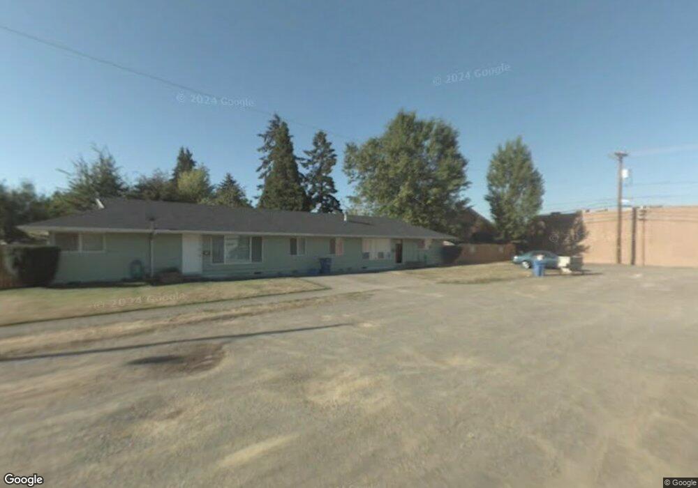
680 E 21st Ave Eugene, OR 97405
South University NeighborhoodEstimated Value: $577,000 - $794,000
10
Beds
4
Baths
2,598
Sq Ft
$258/Sq Ft
Est. Value
About This Home
This home is located at 680 E 21st Ave, Eugene, OR 97405 and is currently estimated at $669,037, approximately $257 per square foot. 680 E 21st Ave is a home located in Lane County with nearby schools including Edison Elementary School, Roosevelt Middle School, and South Eugene High School.
Ownership History
Date
Name
Owned For
Owner Type
Purchase Details
Closed on
Nov 2, 2005
Sold by
Wilson Mary Jane E and Wilson Michael L
Bought by
Evans Stephan W and Evans Melissa A
Current Estimated Value
Home Financials for this Owner
Home Financials are based on the most recent Mortgage that was taken out on this home.
Original Mortgage
$256,950
Outstanding Balance
$136,517
Interest Rate
5.74%
Mortgage Type
Fannie Mae Freddie Mac
Estimated Equity
$532,520
Create a Home Valuation Report for This Property
The Home Valuation Report is an in-depth analysis detailing your home's value as well as a comparison with similar homes in the area
Home Values in the Area
Average Home Value in this Area
Purchase History
| Date | Buyer | Sale Price | Title Company |
|---|---|---|---|
| Evans Stephan W | $285,500 | Fidelity National Title Insu |
Source: Public Records
Mortgage History
| Date | Status | Borrower | Loan Amount |
|---|---|---|---|
| Open | Evans Stephan W | $256,950 |
Source: Public Records
Tax History
| Year | Tax Paid | Tax Assessment Tax Assessment Total Assessment is a certain percentage of the fair market value that is determined by local assessors to be the total taxable value of land and additions on the property. | Land | Improvement |
|---|---|---|---|---|
| 2025 | $7,380 | $378,752 | -- | -- |
| 2024 | $7,288 | $367,721 | -- | -- |
| 2023 | $7,288 | $357,011 | $0 | $0 |
| 2022 | $6,827 | $346,613 | $0 | $0 |
| 2021 | $6,413 | $336,518 | $0 | $0 |
| 2020 | $6,435 | $326,717 | $0 | $0 |
| 2019 | $6,215 | $317,201 | $0 | $0 |
| 2018 | $5,850 | $298,993 | $0 | $0 |
| 2017 | $5,521 | $298,993 | $0 | $0 |
| 2016 | $5,173 | $290,284 | $0 | $0 |
| 2015 | $5,062 | $281,829 | $0 | $0 |
| 2014 | $4,921 | $273,620 | $0 | $0 |
Source: Public Records
Map
Nearby Homes
- 1733 Mill Aly
- 193 E 20th Ave
- 1970 Amazon Pkwy
- 181 Civic Dr
- 177 E 20th Ave
- 171 E 20th Ave
- 2042 Onyx St
- 1591 High St
- 1600 Pearl St Unit 608
- 508 E 14th Ave
- 2707 Hilyard St
- 2031 Olive St
- 2749 Hilyard St
- 1492 Pearl St
- 2610 Elinor St
- 509 E 13th Ave
- 135 W 18th Ave
- 2096 Charnelton St
- 2815 Hilyard St
- 1673 Olive Aly
- 2120 Hilyard St
- 2130 Hilyard St
- 2090 Hilyard St
- 2172 Hilyard St
- 2080 Hilyard St
- 2107 Hilyard St
- 2121 Hilyard St
- 2182 Hilyard St
- 2141 Hilyard St
- 2062 Hilyard St
- 2091 Hilyard St
- 2073 Hilyard St
- 2192 Hilyard St
- 2161 Hilyard St
- 2046 Hilyard St
- 718 E 21st Ave
- 2057 Hilyard St
- 2189 Hilyard St
- 721 E 22nd Ave
- 2026 Hilyard St
Your Personal Tour Guide
Ask me questions while you tour the home.