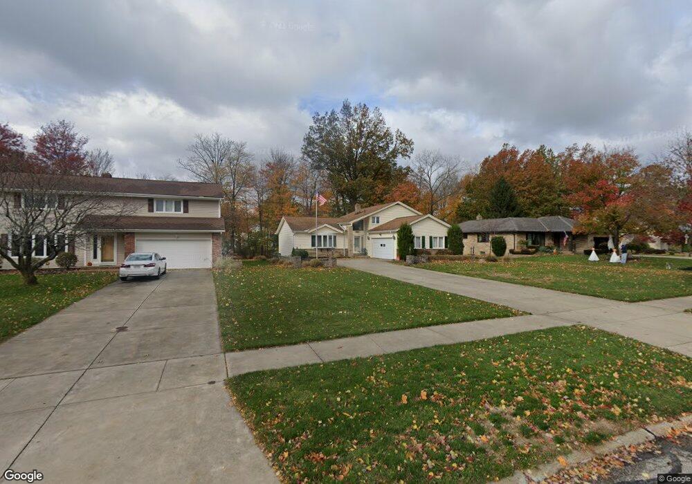
680 Lander Dr Cleveland, OH 44143
Estimated Value: $331,122 - $387,000
3
Beds
2
Baths
1,996
Sq Ft
$183/Sq Ft
Est. Value
About This Home
This home is located at 680 Lander Dr, Cleveland, OH 44143 and is currently estimated at $364,781, approximately $182 per square foot. 680 Lander Dr is a home located in Cuyahoga County with nearby schools including Mayfield High School, Flex High School Cleveland, and Saint Paschal Baylon School.
Ownership History
Date
Name
Owned For
Owner Type
Purchase Details
Closed on
Aug 3, 2011
Sold by
Bennett David A and Bennett David Alan
Bought by
Farinacci Domenic and Farinacci Jenny L
Current Estimated Value
Home Financials for this Owner
Home Financials are based on the most recent Mortgage that was taken out on this home.
Original Mortgage
$166,286
Outstanding Balance
$111,712
Interest Rate
4.4%
Mortgage Type
FHA
Estimated Equity
$253,069
Purchase Details
Closed on
Jan 1, 1975
Bought by
Higgins Robert D
Create a Home Valuation Report for This Property
The Home Valuation Report is an in-depth analysis detailing your home's value as well as a comparison with similar homes in the area
Home Values in the Area
Average Home Value in this Area
Purchase History
| Date | Buyer | Sale Price | Title Company |
|---|---|---|---|
| Farinacci Domenic | $171,500 | New Market Title | |
| Higgins Robert D | -- | -- |
Source: Public Records
Mortgage History
| Date | Status | Borrower | Loan Amount |
|---|---|---|---|
| Open | Farinacci Domenic | $166,286 |
Source: Public Records
Tax History
| Year | Tax Paid | Tax Assessment Tax Assessment Total Assessment is a certain percentage of the fair market value that is determined by local assessors to be the total taxable value of land and additions on the property. | Land | Improvement |
|---|---|---|---|---|
| 2025 | $7,014 | $105,280 | $25,410 | $79,870 |
| 2024 | $6,372 | $105,280 | $25,410 | $79,870 |
| 2023 | $5,212 | $75,500 | $20,270 | $55,230 |
| 2022 | $5,179 | $75,495 | $20,265 | $55,230 |
| 2021 | $5,134 | $75,500 | $20,270 | $55,230 |
| 2020 | $4,945 | $66,220 | $17,780 | $48,440 |
| 2019 | $4,783 | $189,200 | $50,800 | $138,400 |
| 2018 | $4,761 | $66,220 | $17,780 | $48,440 |
| 2017 | $4,485 | $57,860 | $13,690 | $44,170 |
| 2016 | $4,449 | $57,860 | $13,690 | $44,170 |
| 2015 | $4,290 | $57,860 | $13,690 | $44,170 |
| 2014 | $4,290 | $60,900 | $14,420 | $46,480 |
Source: Public Records
Map
Nearby Homes
- 595 Jefferson Dr
- 833 Lander Rd
- 5679 Wilson Mills Rd
- 848 Stanwell Dr
- 6284 S Applecross Rd
- 904 Rose Blvd
- 6293 S Applecross Rd
- 5647 N Greenway Ct Unit C
- 895 Cranbrook Dr
- 588 Magnolia Ct
- 441 W Glengary Cir
- 562 Magnolia Ct
- 5596 Turnberry Ln
- 0 Bishop Rd Unit 5133575
- 1051 Belwood Dr
- 6477 N Cobblestone Rd
- 6205 S Woodlane Dr
- 1111 E Miner Rd
- 363 Miner Rd
- 346 Glasgow Dr
- 676 Lander Dr
- 684 Lander Dr
- 672 Lander Dr
- 5991 Blakley Dr
- 681 Gloucester Dr
- 5975 Blakley Dr
- 675 Gloucester Dr
- 660 Lander Dr
- 681 Lander Dr
- 685 Lander Dr
- 677 Lander Dr
- 5965 Blakley Dr
- 656 Lander Dr
- 669 Gloucester Dr
- 689 Lander Dr
- 673 Lander Dr
- 669 Lander Dr
- 652 Lander Dr
- 5984 Blakley Dr
- 5992 Blakley Dr
Your Personal Tour Guide
Ask me questions while you tour the home.