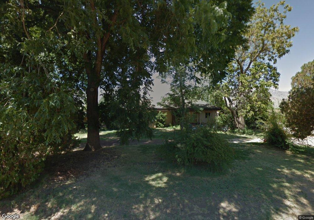
6801 Southfork Ln Weldon, CA 93283
Estimated Value: $240,000 - $367,000
3
Beds
2
Baths
1,483
Sq Ft
$205/Sq Ft
Est. Value
About This Home
This home is located at 6801 Southfork Ln, Weldon, CA 93283 and is currently estimated at $303,719, approximately $204 per square foot. 6801 Southfork Ln is a home located in Kern County with nearby schools including South Fork Elementary School and Kern Valley High School.
Ownership History
Date
Name
Owned For
Owner Type
Purchase Details
Closed on
Nov 17, 1998
Sold by
Farmer Richard P and Farmer Carolyn J
Bought by
Murphy Robert C and Drake Sharon M
Current Estimated Value
Home Financials for this Owner
Home Financials are based on the most recent Mortgage that was taken out on this home.
Original Mortgage
$110,200
Outstanding Balance
$24,732
Interest Rate
6.91%
Estimated Equity
$278,987
Create a Home Valuation Report for This Property
The Home Valuation Report is an in-depth analysis detailing your home's value as well as a comparison with similar homes in the area
Purchase History
| Date | Buyer | Sale Price | Title Company |
|---|---|---|---|
| Murphy Robert C | $116,000 | Fidelity National Title Co |
Source: Public Records
Mortgage History
| Date | Status | Borrower | Loan Amount |
|---|---|---|---|
| Open | Murphy Robert C | $110,200 |
Source: Public Records
Tax History
| Year | Tax Paid | Tax Assessment Tax Assessment Total Assessment is a certain percentage of the fair market value that is determined by local assessors to be the total taxable value of land and additions on the property. | Land | Improvement |
|---|---|---|---|---|
| 2025 | $2,388 | $209,338 | $70,537 | $138,801 |
| 2024 | $2,322 | $205,234 | $69,154 | $136,080 |
| 2023 | $2,322 | $201,212 | $67,799 | $133,413 |
| 2022 | $2,281 | $197,268 | $66,470 | $130,798 |
| 2021 | $2,197 | $193,401 | $65,167 | $128,234 |
| 2020 | $2,157 | $191,419 | $64,499 | $126,920 |
| 2019 | $2,115 | $191,419 | $64,499 | $126,920 |
| 2018 | $2,084 | $183,989 | $61,996 | $121,993 |
| 2017 | $2,058 | $180,383 | $60,781 | $119,602 |
| 2016 | $1,929 | $176,848 | $59,590 | $117,258 |
| 2015 | $1,913 | $174,192 | $58,695 | $115,497 |
| 2014 | $1,414 | $128,000 | $32,000 | $96,000 |
Source: Public Records
Map
Nearby Homes
- 14225 Polaris St
- 6200 Poplar St
- 20530 Highway 178
- 5309 Marjorie St
- 0 Vail Lane & Orsburn Ln
- 15310023 Kelso Valley Rd
- 1790 Kelso Creek Rd
- 16600 Short St
- 8021 Worthington St
- 7951 Easy St
- 7736 Easy St
- 8119 Tamarisk Rd
- 7575 Ulman Ln
- 8028 Chism Trail
- 18220 California 178
- 8025 Melody Ln
- 7958 Harmony Ln
- 0 Jill St
- 8048 Melody Ln
- 20596 Linda Ln
- 21129 Highway 178
- 6604 Fork Ln
- 6619 Southfork Ln
- 308 Kelso Creek Rd
- 6770 Kelso Creek Rd
- 178 Hwy 42
- 6909 Kelso Creek Rd
- 6301 Kelso Creek Rd
- 14241 Polaris St
- 20690 Highway 178
- 20664 Highway 178
- 14207 Polaris St
- 6334 Poplar St
- 20640 Highway 178
- 6274 Poplar St
- 20592 Highway 178
- 6210 Kelso Creek Rd
- 6244 Poplar St
- 20524 Highway 178
- 6245 Poplar St
Your Personal Tour Guide
Ask me questions while you tour the home.