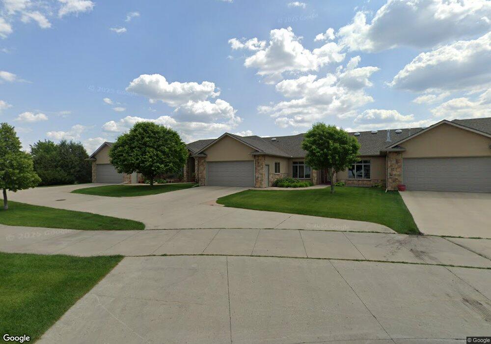
681 17th Ave E West Fargo, ND 58078
Charleswood NeighborhoodEstimated Value: $558,000 - $967,386
4
Beds
3
Baths
2,030
Sq Ft
$376/Sq Ft
Est. Value
About This Home
This home is located at 681 17th Ave E, West Fargo, ND 58078 and is currently estimated at $762,693, approximately $375 per square foot. 681 17th Ave E is a home located in Cass County with nearby schools including South Elementary School, Cheney Middle School, and West Fargo High School.
Ownership History
Date
Name
Owned For
Owner Type
Purchase Details
Closed on
Jul 11, 2008
Sold by
Morlock Construction Inc
Bought by
Peterson Tim O and Peterson Claudette M
Current Estimated Value
Home Financials for this Owner
Home Financials are based on the most recent Mortgage that was taken out on this home.
Original Mortgage
$400,163
Outstanding Balance
$259,202
Interest Rate
6.15%
Mortgage Type
VA
Estimated Equity
$503,491
Create a Home Valuation Report for This Property
The Home Valuation Report is an in-depth analysis detailing your home's value as well as a comparison with similar homes in the area
Home Values in the Area
Average Home Value in this Area
Purchase History
| Date | Buyer | Sale Price | Title Company |
|---|---|---|---|
| Peterson Tim O | -- | -- |
Source: Public Records
Mortgage History
| Date | Status | Borrower | Loan Amount |
|---|---|---|---|
| Open | Peterson Tim O | $400,163 |
Source: Public Records
Tax History Compared to Growth
Tax History
| Year | Tax Paid | Tax Assessment Tax Assessment Total Assessment is a certain percentage of the fair market value that is determined by local assessors to be the total taxable value of land and additions on the property. | Land | Improvement |
|---|---|---|---|---|
| 2024 | $7,546 | $288,800 | $32,250 | $256,550 |
| 2023 | $7,819 | $278,650 | $32,250 | $246,400 |
| 2022 | $7,852 | $268,000 | $32,250 | $235,750 |
| 2021 | $7,358 | $241,750 | $22,850 | $218,900 |
| 2020 | $7,099 | $240,350 | $22,850 | $217,500 |
| 2019 | $7,334 | $234,450 | $22,850 | $211,600 |
| 2018 | $6,874 | $226,550 | $22,850 | $203,700 |
| 2017 | $7,108 | $228,700 | $22,850 | $205,850 |
| 2016 | $6,188 | $210,800 | $22,850 | $187,950 |
| 2015 | $6,509 | $206,100 | $17,250 | $188,850 |
| 2014 | $6,306 | $192,600 | $17,250 | $175,350 |
| 2013 | $6,430 | $192,600 | $17,250 | $175,350 |
Source: Public Records
Map
Nearby Homes
- 1811 7th St E
- 1809 Pentland St
- 724 Northridge Way
- 517 18th Ave E
- 134 17th Ave E
- 722 14 1 2 Ave E
- 1845 Huntington Ct
- 1844 1st St
- 1836 12th St E
- 1829 13th St E
- 1633 3rd St W
- 154 W Beaton Dr
- 1264 Marlys Dr W
- 306 13th Ave E
- 336 13th Ave E
- 1534 Baywood Dr
- 243 12 1 2 Ave E
- 1522 Baywood Dr
- 245 12th Ave E
- 437 10th Ave E
- 677 17th Ave E
- 673 17th Ave E
- 685 17th Ave E
- 686 18th Ave E
- 690 18th Ave E
- 682 18th Ave E
- 694 18th Ave E
- 669 17th Ave E
- 676 18th Ave E
- 1656 7th St E
- 670 18th Ave E
- 663 17th Ave E
- 680 17th Ave E
- 708 Northridge Way
- 686 17th Ave E
- 674 17th Ave E
- 707 Northridge Way
- 664 18th Ave E
- 668 17th Ave E
- 657 17th Ave E