681 Wolcott Rd Wolcott, CT 06716
Estimated Value: $886,725
--
Bed
--
Bath
--
Sq Ft
1.38
Acres
About This Home
This home is located at 681 Wolcott Rd, Wolcott, CT 06716 and is currently estimated at $886,725. 681 Wolcott Rd is a home located in New Haven County with nearby schools including Tyrrell Middle School and Wolcott High School.
Ownership History
Date
Name
Owned For
Owner Type
Purchase Details
Closed on
Oct 11, 2021
Sold by
Wolcott Of Ct Llc
Bought by
681 Wolcott Com Prop Rent
Current Estimated Value
Home Financials for this Owner
Home Financials are based on the most recent Mortgage that was taken out on this home.
Original Mortgage
$385,000
Outstanding Balance
$351,084
Interest Rate
2.8%
Mortgage Type
Commercial
Estimated Equity
$535,641
Create a Home Valuation Report for This Property
The Home Valuation Report is an in-depth analysis detailing your home's value as well as a comparison with similar homes in the area
Home Values in the Area
Average Home Value in this Area
Purchase History
| Date | Buyer | Sale Price | Title Company |
|---|---|---|---|
| 681 Wolcott Com Prop Rent | $675,000 | None Available | |
| 681 Wolcott Com Prop Rent | $675,000 | None Available |
Source: Public Records
Mortgage History
| Date | Status | Borrower | Loan Amount |
|---|---|---|---|
| Open | 681 Wolcott Com Prop Rent | $385,000 | |
| Closed | 681 Wolcott Com Prop Rent | $385,000 |
Source: Public Records
Tax History Compared to Growth
Tax History
| Year | Tax Paid | Tax Assessment Tax Assessment Total Assessment is a certain percentage of the fair market value that is determined by local assessors to be the total taxable value of land and additions on the property. | Land | Improvement |
|---|---|---|---|---|
| 2025 | $17,873 | $497,430 | $136,930 | $360,500 |
| 2024 | $16,450 | $497,430 | $136,930 | $360,500 |
| 2023 | $15,853 | $497,430 | $136,930 | $360,500 |
| 2022 | $15,321 | $497,430 | $136,930 | $360,500 |
| 2021 | $15,575 | $469,970 | $120,750 | $349,220 |
| 2020 | $15,575 | $469,970 | $120,750 | $349,220 |
| 2019 | $14,333 | $432,510 | $120,750 | $311,760 |
| 2018 | $13,927 | $432,510 | $120,750 | $311,760 |
| 2017 | $16,224 | $518,850 | $120,750 | $398,100 |
| 2016 | $14,940 | $516,780 | $120,750 | $396,030 |
| 2015 | $14,511 | $516,780 | $120,750 | $396,030 |
| 2014 | $14,041 | $516,780 | $120,750 | $396,030 |
Source: Public Records
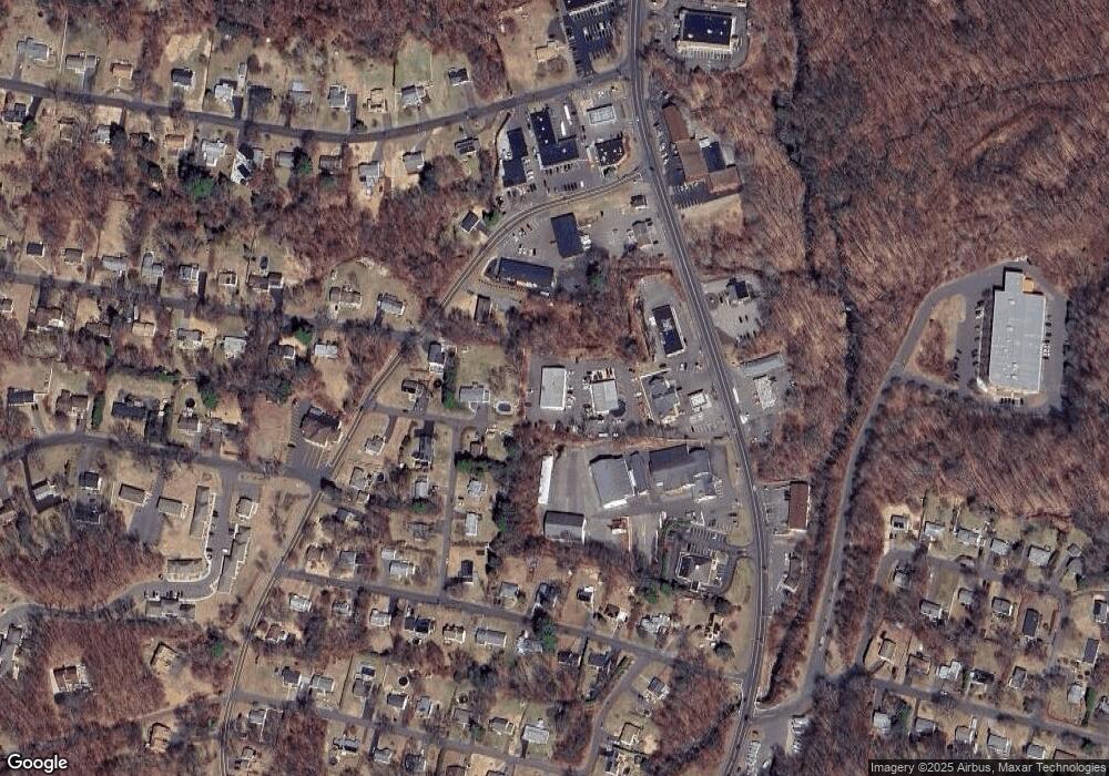
Map
Nearby Homes
- 124 Potuccos Ring Rd
- 7 Overvale Rd
- 160 Brooks Hill Rd
- 4 Park Ave Unit 1
- 72 White Oak Ln
- 866 Wolcott Rd
- 981 Wolcott Rd
- 11 Ivy Ln
- 141 Chicory Dr
- 128 Lyman Rd Unit 25
- 5 Evas Terrace
- 75 Kingswood Ln
- 210 Munson Rd Unit 2-G
- 210 Munson Rd Unit 2-F
- 210 Munson Rd Unit 2-E
- 210 Munson Rd Unit 2-D
- 210 Munson Rd Unit 2-C
- 210 Munson Rd Unit 2-B
- 210 Munson Rd Unit 2-A
- 210 Munson Rd Unit 2-H