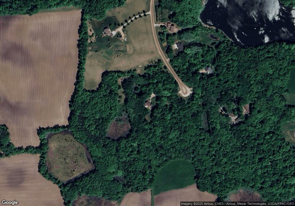
6821 Baker Ave NW Buffalo, MN 55313
Estimated Value: $602,000 - $754,000
4
Beds
3
Baths
2,340
Sq Ft
$289/Sq Ft
Est. Value
About This Home
This home is located at 6821 Baker Ave NW, Buffalo, MN 55313 and is currently estimated at $676,440, approximately $289 per square foot. 6821 Baker Ave NW is a home located in Wright County with nearby schools including Little Mountain Elementary School, Monticello Middle School, and Monticello Senior High School.
Ownership History
Date
Name
Owned For
Owner Type
Purchase Details
Closed on
Jun 3, 2011
Sold by
Federal Home Loan Mortgage Corporation
Bought by
Stang Jason and Stang Deborah
Current Estimated Value
Purchase Details
Closed on
Apr 11, 2003
Sold by
Minks Enterprises Inc
Bought by
Schlenz Reece D and Schlenz Carol M
Purchase Details
Closed on
Dec 12, 2002
Sold by
Bonnyview Properties Llc
Bought by
Minks Enterprises Inc
Purchase Details
Closed on
Oct 15, 2002
Sold by
Vokaty Curtis J
Bought by
Bonnyview Properties Llc
Create a Home Valuation Report for This Property
The Home Valuation Report is an in-depth analysis detailing your home's value as well as a comparison with similar homes in the area
Home Values in the Area
Average Home Value in this Area
Purchase History
| Date | Buyer | Sale Price | Title Company |
|---|---|---|---|
| Stang Jason | $292,200 | -- | |
| Schlenz Reece D | $343,992 | -- | |
| Minks Enterprises Inc | $209,800 | -- | |
| Bonnyview Properties Llc | $704,000 | -- |
Source: Public Records
Tax History Compared to Growth
Tax History
| Year | Tax Paid | Tax Assessment Tax Assessment Total Assessment is a certain percentage of the fair market value that is determined by local assessors to be the total taxable value of land and additions on the property. | Land | Improvement |
|---|---|---|---|---|
| 2025 | $4,616 | $568,100 | $181,000 | $387,100 |
| 2024 | $4,546 | $562,200 | $184,600 | $377,600 |
| 2023 | $4,182 | $570,300 | $181,000 | $389,300 |
| 2022 | $3,834 | $488,900 | $149,700 | $339,200 |
| 2021 | $3,802 | $409,500 | $106,100 | $303,400 |
| 2020 | $3,744 | $399,200 | $101,100 | $298,100 |
| 2019 | $3,732 | $391,300 | $0 | $0 |
| 2018 | $3,352 | $377,600 | $0 | $0 |
| 2017 | $3,270 | $360,600 | $0 | $0 |
| 2016 | $3,162 | $0 | $0 | $0 |
| 2015 | $3,020 | $0 | $0 | $0 |
| 2014 | -- | $0 | $0 | $0 |
Source: Public Records
Map
Nearby Homes
- TBD 72nd St NW
- 446 72nd St NW
- XXX 72nd St NW
- 1978 Donnelly Dr NW
- 2532 62nd St NW
- 4963 Crofoot Ave NW
- 8486 Acacia Ave NE
- 655 55th St NE
- 7952 Braddock Ave NE
- 1030 94th St NW
- XXX 95th St NW
- 1380 84th St NE
- 778 101st St NW
- B2/L4 Baker Ave NW
- B1/L1 Baker Ave NW
- B1/L2 Baker Ave NW
- B1/L3 Baker Ave NW
- 10209 & 10215 Amery Ave NW
- 198 35th St NE
- TBD Baker Ave NW
- XXX Baker Ave NW
- 6830 Baker Ave NW
- 6882 Baker Ave NW
- 6936 Baker Ave NW
- 6955 Baker Ave NW
- 7028 Baker Ave NW
- 7056 Baker Ave NW
- 6748 Bishop Ave NW
- 7084 Baker Ave NW
- 6536 Bishop Ave NW
- 7235 Baker Ave NW
- 6761 Bishop Ave NW
- 7224 Baker Ave NW
- 6485 Bishop Ave NW
- 6521 Bishop Ave NW
- 6849 Ames Ave NW
- 1118 County Road 37 NW
- 900 County Road 37 NW
- 950 County Road 37 NW
- 1338 County Road 37 NW
