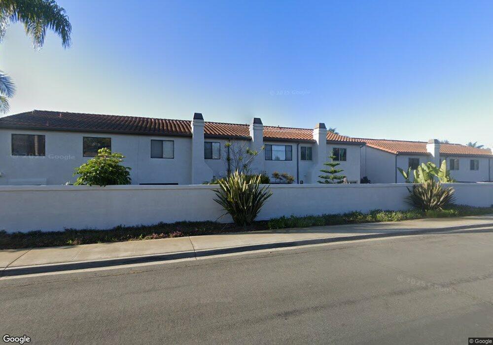
6823 Pear Tree Dr Carlsbad, CA 92011
Poinsettia NeighborhoodEstimated Value: $964,187 - $1,080,000
3
Beds
3
Baths
1,438
Sq Ft
$707/Sq Ft
Est. Value
About This Home
This home is located at 6823 Pear Tree Dr, Carlsbad, CA 92011 and is currently estimated at $1,016,547, approximately $706 per square foot. 6823 Pear Tree Dr is a home located in San Diego County with nearby schools including Pacific Rim Elementary, Aviara Oaks Middle, and Sage Creek High.
Ownership History
Date
Name
Owned For
Owner Type
Purchase Details
Closed on
Oct 16, 2008
Sold by
Schulz Thomas E
Bought by
Schulz Tom
Current Estimated Value
Purchase Details
Closed on
Apr 10, 1998
Sold by
Schulz Thomas E and Schulz Elizabeth
Bought by
Schulz Thomas E
Home Financials for this Owner
Home Financials are based on the most recent Mortgage that was taken out on this home.
Original Mortgage
$120,000
Interest Rate
7.06%
Purchase Details
Closed on
Jan 14, 1987
Create a Home Valuation Report for This Property
The Home Valuation Report is an in-depth analysis detailing your home's value as well as a comparison with similar homes in the area
Home Values in the Area
Average Home Value in this Area
Purchase History
| Date | Buyer | Sale Price | Title Company |
|---|---|---|---|
| Schulz Tom | -- | None Available | |
| Schulz Thomas E | -- | Fidelity National Title Co | |
| -- | $114,000 | -- |
Source: Public Records
Mortgage History
| Date | Status | Borrower | Loan Amount |
|---|---|---|---|
| Previous Owner | Schulz Thomas E | $120,000 |
Source: Public Records
Tax History Compared to Growth
Tax History
| Year | Tax Paid | Tax Assessment Tax Assessment Total Assessment is a certain percentage of the fair market value that is determined by local assessors to be the total taxable value of land and additions on the property. | Land | Improvement |
|---|---|---|---|---|
| 2025 | $2,385 | $222,337 | $58,553 | $163,784 |
| 2024 | $2,385 | $217,978 | $57,405 | $160,573 |
| 2023 | $2,372 | $213,705 | $56,280 | $157,425 |
| 2022 | $2,336 | $209,516 | $55,177 | $154,339 |
| 2021 | $2,319 | $205,409 | $54,096 | $151,313 |
| 2020 | $2,303 | $203,304 | $53,542 | $149,762 |
| 2019 | $2,263 | $199,319 | $52,493 | $146,826 |
| 2018 | $2,169 | $195,412 | $51,464 | $143,948 |
| 2017 | $90 | $191,581 | $50,455 | $141,126 |
| 2016 | $2,048 | $187,825 | $49,466 | $138,359 |
| 2015 | $2,040 | $185,004 | $48,723 | $136,281 |
| 2014 | $2,007 | $181,381 | $47,769 | $133,612 |
Source: Public Records
Map
Nearby Homes
- 6915 Pear Tree Dr
- 6777 Lonicera St
- 874 Marigold Ct
- 6557 Coneflower Dr
- 839 Skysail Ave
- 7013 Lavender Way
- 6951 Quiet Cove Dr
- 7030 Lantana Terrace
- 802 Spindrift Ln
- 907 Caminito Estrada Unit E
- 909 Caminito Madrigal Unit B
- 803 Skysail Ave
- 6497 Wayfinders Ct
- 6462 Camino Del Parque
- 6925 Waters End Dr
- 811 Caminito Del Sol
- 6548 Camino Del Parque
- 7219 Linden Terrace
- 1001 Goldeneye View
- 609 Saltgrass Ave
- 6825 Pear Tree Dr
- 6821 Pear Tree Dr
- 6827 Pear Tree Dr
- 6829 Pear Tree Dr
- 912 Hawthorne Ave
- 6831 Pear Tree Dr
- 924 Hawthorne Ave
- 910 Hawthorne Ave
- 6833 Pear Tree Dr
- 908 Hawthorne Ave
- 926 Hawthorne Ave
- 919 Hawthorne Ave
- 917 Hawthorne Ave
- 915 Hawthorne Ave
- 923 Hawthorne Ave Unit 5
- 913 Hickory Ct
- 906 Hawthorne Ave
- 913 Hawthorne Ave
- 928 Hawthorne Ave
- 925 Hawthorne Ave