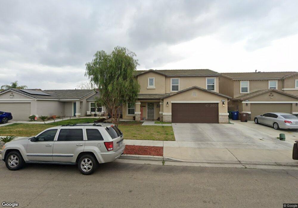
683 Carol Ave Sanger, CA 93657
Estimated Value: $419,237 - $605,000
4
Beds
3
Baths
2,208
Sq Ft
$218/Sq Ft
Est. Value
About This Home
This home is located at 683 Carol Ave, Sanger, CA 93657 and is currently estimated at $481,309, approximately $217 per square foot. 683 Carol Ave is a home with nearby schools including Jefferson Elementary School, Washington Academic Middle School, and Sanger High School.
Ownership History
Date
Name
Owned For
Owner Type
Purchase Details
Closed on
Jan 23, 2018
Sold by
Western Pacific Housing Inc
Bought by
Cacossa Peter Joseph and Cacossa Tiffany
Current Estimated Value
Home Financials for this Owner
Home Financials are based on the most recent Mortgage that was taken out on this home.
Original Mortgage
$261,375
Outstanding Balance
$220,569
Interest Rate
3.94%
Mortgage Type
VA
Estimated Equity
$260,740
Purchase Details
Closed on
Feb 8, 2017
Sold by
Gray1 Tuscany 91 Llc
Bought by
Western Pacific Housing Inc
Purchase Details
Closed on
Nov 18, 2008
Sold by
Lafferty Sanger I Llc
Bought by
Gray1 Tuscany 91 Llc
Create a Home Valuation Report for This Property
The Home Valuation Report is an in-depth analysis detailing your home's value as well as a comparison with similar homes in the area
Home Values in the Area
Average Home Value in this Area
Purchase History
| Date | Buyer | Sale Price | Title Company |
|---|---|---|---|
| Cacossa Peter Joseph | $261,500 | Old Republic Title Concord | |
| Western Pacific Housing Inc | $2,135,000 | First American Title Company | |
| Gray1 Tuscany 91 Llc | $500,000 | None Available |
Source: Public Records
Mortgage History
| Date | Status | Borrower | Loan Amount |
|---|---|---|---|
| Open | Cacossa Peter Joseph | $261,375 |
Source: Public Records
Tax History Compared to Growth
Tax History
| Year | Tax Paid | Tax Assessment Tax Assessment Total Assessment is a certain percentage of the fair market value that is determined by local assessors to be the total taxable value of land and additions on the property. | Land | Improvement |
|---|---|---|---|---|
| 2025 | $4,379 | $297,309 | $45,510 | $251,799 |
| 2023 | $4,309 | $285,766 | $43,744 | $242,022 |
| 2022 | $4,157 | $280,164 | $42,887 | $237,277 |
| 2021 | $4,129 | $274,672 | $42,047 | $232,625 |
| 2020 | $3,968 | $271,856 | $41,616 | $230,240 |
| 2019 | $3,900 | $266,526 | $40,800 | $225,726 |
| 2018 | $1,093 | $35,700 | $35,700 | $0 |
| 2017 | $580 | $38,831 | $38,831 | $0 |
| 2016 | $551 | $38,070 | $38,070 | $0 |
| 2015 | $555 | $37,499 | $37,499 | $0 |
| 2014 | $469 | $30,000 | $30,000 | $0 |
Source: Public Records
Map
Nearby Homes
- 658 Rebeca Ave
- 1108 Millwood Dr
- 907 Harriett Ave
- 535 Barbara Ave
- 728 9th St
- 930 I St
- 859 11th St
- 871 11th St
- 0 J St
- 1319 J St
- 531 K St
- 3670 S Newmark Ave
- 3680 S Newmark Ave
- 1407 Academy Ave
- 1105 Hoag Ave
- 0 E Annadale Ave Unit W. of S. Riverbend A
- 314 Tait Ave
- 1708 Cherry Ave
- 1502 Church Ave
- 85 Acacia Dr