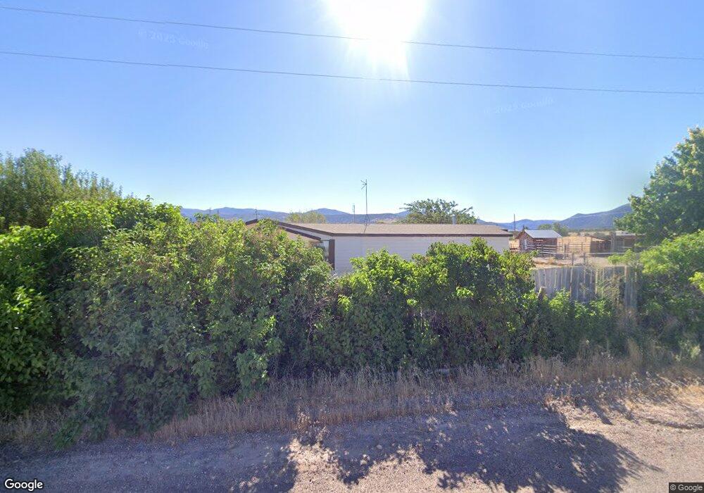
683 S Main St Kanosh, UT 84637
Estimated Value: $254,328 - $369,000
2
Beds
2
Baths
1,200
Sq Ft
$266/Sq Ft
Est. Value
About This Home
This home is located at 683 S Main St, Kanosh, UT 84637 and is currently estimated at $319,109, approximately $265 per square foot. 683 S Main St is a home located in Millard County.
Create a Home Valuation Report for This Property
The Home Valuation Report is an in-depth analysis detailing your home's value as well as a comparison with similar homes in the area
Home Values in the Area
Average Home Value in this Area
Tax History Compared to Growth
Tax History
| Year | Tax Paid | Tax Assessment Tax Assessment Total Assessment is a certain percentage of the fair market value that is determined by local assessors to be the total taxable value of land and additions on the property. | Land | Improvement |
|---|---|---|---|---|
| 2024 | $854 | $104,280 | $20,780 | $83,500 |
| 2023 | $854 | $104,280 | $20,780 | $83,500 |
| 2022 | $1,080 | $103,403 | $17,550 | $85,853 |
| 2021 | $980 | $90,649 | $16,100 | $74,549 |
| 2020 | $930 | $87,115 | $16,100 | $71,015 |
| 2019 | $772 | $72,895 | $16,100 | $56,795 |
| 2018 | $635 | $61,536 | $16,100 | $45,436 |
| 2017 | $630 | $58,236 | $12,800 | $45,436 |
| 2016 | $601 | $58,236 | $12,800 | $45,436 |
| 2015 | $657 | $63,666 | $12,800 | $50,866 |
| 2014 | -- | $63,666 | $12,800 | $50,866 |
| 2013 | -- | $63,666 | $12,800 | $50,866 |
Source: Public Records
Map
Nearby Homes
- 8610 S Highway 91
- 15 W 200 S
- 115 W 200 S
- 135 E 200 N
- 339 N 100 Rd W
- 453 N 100 West Rd
- 5098 W Hatton Rd
- Parcel # 8816
- 10 S Main St
- 60 W Center St
- 50 N 100 Rd E
- 2970 N Mud Spring Hollow Rd Unit LotWP001
- 0 Tbd Black Rock Rd Unit LotWP001
- 1615 W Sunflower Ln Unit 4
- 1565 W Sunflower Ln Unit 3
- 1765 W Sunflower Ln Unit 7
- 2000 N West Frontage I-15
- 1100 S 725 Rd W
- 760 E 700 St S
- 190 W 400 St S