Estimated Value: $108,000 - $190,000
2
Beds
2
Baths
885
Sq Ft
$159/Sq Ft
Est. Value
About This Home
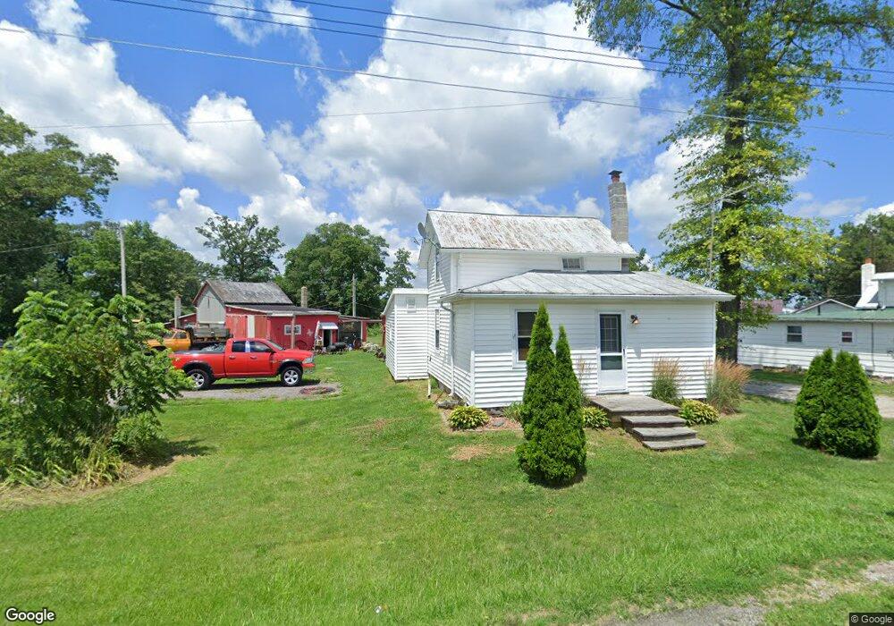
This home is located at 6838 N State Route 18, Clyde, OH 43410 and is currently estimated at $140,645, approximately $158 per square foot. 6838 N State Route 18 is a home with nearby schools including Clyde High School and Harvest Temple Christian Academy.
Ownership History
Date
Name
Owned For
Owner Type
Purchase Details
Closed on
Jul 23, 2014
Sold by
Covert Bonnie L
Bought by
Covert Larry A
Current Estimated Value
Purchase Details
Closed on
Dec 14, 2009
Sold by
Covert Larry
Bought by
Covert Larry and Covert Bonnie L
Create a Home Valuation Report for This Property
The Home Valuation Report is an in-depth analysis detailing your home's value as well as a comparison with similar homes in the area
Home Values in the Area
Average Home Value in this Area
Purchase History
| Date | Buyer | Sale Price | Title Company |
|---|---|---|---|
| Covert Larry A | -- | None Available | |
| Covert Larry | -- | None Available |
Source: Public Records
Tax History Compared to Growth
Tax History
| Year | Tax Paid | Tax Assessment Tax Assessment Total Assessment is a certain percentage of the fair market value that is determined by local assessors to be the total taxable value of land and additions on the property. | Land | Improvement |
|---|---|---|---|---|
| 2024 | $935 | $31,110 | $4,210 | $26,900 |
| 2023 | $941 | $31,110 | $4,210 | $26,900 |
| 2022 | $632 | $22,490 | $3,900 | $18,590 |
| 2021 | $640 | $22,490 | $3,900 | $18,590 |
| 2020 | $665 | $22,485 | $3,896 | $18,589 |
| 2019 | $968 | $20,241 | $3,507 | $16,734 |
| 2018 | $1,165 | $24,336 | $3,507 | $20,829 |
| 2017 | $1,120 | $24,336 | $3,507 | $20,829 |
| 2016 | $1,077 | $23,580 | $3,245 | $20,335 |
| 2015 | $1,087 | $23,580 | $3,245 | $20,335 |
| 2014 | $1,060 | $23,580 | $3,245 | $20,335 |
| 2013 | $1,124 | $23,580 | $3,245 | $20,335 |
Source: Public Records
Map
Nearby Homes
- 0 N Sr 101 Unit 20252008
- 2114 S Main St
- 220 Maple Ln Unit 82
- 104 Ken Lee Dr
- 0 Merlin Ln Unit 20253762
- 0 Merlin Ln Unit 20253639
- 628 W Maple St
- 222 Bertha Ave
- 209 Fair St
- 315 E Grant St
- 322 Vine St
- 235 W Buckeye St
- 167 Excalibur Dr
- 236 Spayd Rd
- 0 Durnwald Dr
- CR 260 89.6 acres Durnwald Dr
- 118 E Buckeye St
- 6556 Ohio 18
- 741 May St
- 1337 E Sr 20
- 6758 N State Route 18
- 6556 N State Route 18
- 6743 N State Route 18
- 6504 N State Route 18
- 6123 N State Route 18
- 6422 N State Route 18
- 6526 N State Route 18
- 8215 State Route 101 N
- 8233 N Tr 179
- 8211 Township Road 179
- 8398 State Route 101 N
- 8722 County Road 34
- 8054 State Route 101 N
- 8585 State Route 101 N
- 10413 E Township Road 138
- 4444 County Road 21
- 10323 E County Road 34
- 8255 State Route 101 N
- 8643 County Road 34
- 7959 Ohio 101