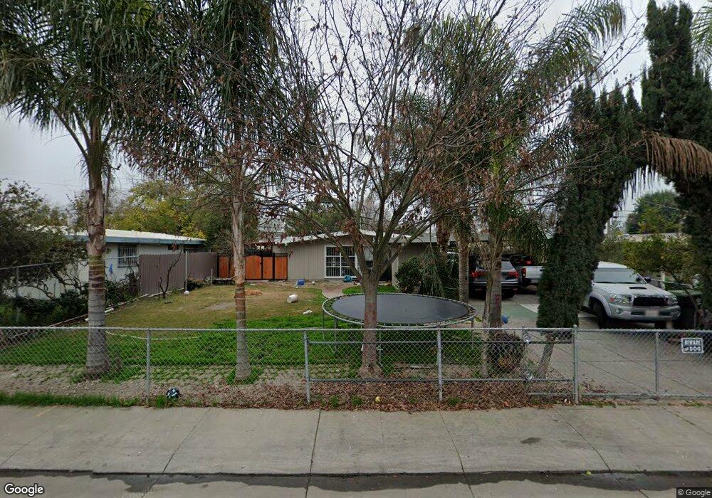
684 Chicago Ave Stockton, CA 95206
Seaport NeighborhoodEstimated Value: $306,188 - $343,000
3
Beds
1
Bath
1,134
Sq Ft
$285/Sq Ft
Est. Value
About This Home
This home is located at 684 Chicago Ave, Stockton, CA 95206 and is currently estimated at $323,047, approximately $284 per square foot. 684 Chicago Ave is a home located in San Joaquin County with nearby schools including Taylor Leadership Academy, John Marshall Elementary School, and San Joaquin Elementary School.
Ownership History
Date
Name
Owned For
Owner Type
Purchase Details
Closed on
Sep 30, 2009
Sold by
Bragado Joe B and Alcaide Juanita B
Bought by
Garibay Hector
Current Estimated Value
Home Financials for this Owner
Home Financials are based on the most recent Mortgage that was taken out on this home.
Original Mortgage
$44,896
Outstanding Balance
$29,316
Interest Rate
5.08%
Mortgage Type
New Conventional
Estimated Equity
$293,731
Create a Home Valuation Report for This Property
The Home Valuation Report is an in-depth analysis detailing your home's value as well as a comparison with similar homes in the area
Home Values in the Area
Average Home Value in this Area
Purchase History
| Date | Buyer | Sale Price | Title Company |
|---|---|---|---|
| Garibay Hector | $49,000 | Old Republic Title Company | |
| Garibay Hector | -- | Old Republic Title Company |
Source: Public Records
Mortgage History
| Date | Status | Borrower | Loan Amount |
|---|---|---|---|
| Open | Garibay Hector | $44,896 |
Source: Public Records
Tax History
| Year | Tax Paid | Tax Assessment Tax Assessment Total Assessment is a certain percentage of the fair market value that is determined by local assessors to be the total taxable value of land and additions on the property. | Land | Improvement |
|---|---|---|---|---|
| 2025 | $838 | $63,240 | $19,358 | $43,882 |
| 2024 | $822 | $62,001 | $18,979 | $43,022 |
| 2023 | $802 | $60,786 | $18,607 | $42,179 |
| 2022 | $721 | $59,595 | $18,243 | $41,352 |
| 2021 | $697 | $58,428 | $17,886 | $40,542 |
| 2020 | $708 | $57,830 | $17,703 | $40,127 |
| 2019 | $704 | $56,697 | $17,356 | $39,341 |
| 2018 | $690 | $55,586 | $17,016 | $38,570 |
| 2017 | $655 | $54,497 | $16,683 | $37,814 |
| 2016 | $664 | $53,429 | $16,356 | $37,073 |
| 2014 | $632 | $51,596 | $15,795 | $35,801 |
Source: Public Records
Map
Nearby Homes
- 544 W 9th St
- 407 W 7th St
- 864 W 5th St
- 220 Delhi Ave
- 138 Delhi Ave
- 1662 Lever Blvd
- 1425 Silverbell Dr
- 1540 Battlement Dr
- 1638 S Argonaut St
- 1235 Lloyd Thayer Cir
- 707 Queensland Cir
- 2035 S Hunter St
- 3330 Konig Ct
- 1773 Willow Park Way
- 1710 Crossbow Ln
- 1129 Brick and Tile Cir
- 1731 S Center St
- 1744 Bella Largo Dr
- 1711 Bella Lago Dr
- 231 E 5th St
- 694 Chicago Ave
- 674 Chicago Ave
- 704 Chicago Ave
- 664 Chicago Ave
- 683 Chicago Ave
- 693 Chicago Ave
- 673 Chicago Ave
- 703 Chicago Ave
- 712 Chicago Ave
- 654 Chicago Ave
- 663 Chicago Ave
- 711 Chicago Ave
- 720 Chicago Ave
- 644 Chicago Ave
- 653 Chicago Ave
- 694 Boston Ave
- 684 Boston Ave
- 704 Boston Ave
- 674 Boston Ave
- 719 Chicago Ave
Your Personal Tour Guide
Ask me questions while you tour the home.