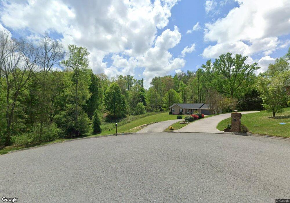
684 Mcvey Rd Tazewell, TN 37879
Estimated Value: $271,000 - $645,000
--
Bed
2
Baths
2,040
Sq Ft
$230/Sq Ft
Est. Value
About This Home
This home is located at 684 Mcvey Rd, Tazewell, TN 37879 and is currently estimated at $468,525, approximately $229 per square foot. 684 Mcvey Rd is a home located in Claiborne County.
Ownership History
Date
Name
Owned For
Owner Type
Purchase Details
Closed on
Feb 23, 2022
Sold by
Dale Pearson Sr Warren and Hayes Judith
Bought by
Gambrel Anthony and Gambrel Rebekah
Current Estimated Value
Home Financials for this Owner
Home Financials are based on the most recent Mortgage that was taken out on this home.
Original Mortgage
$387,600
Outstanding Balance
$336,724
Interest Rate
3.55%
Mortgage Type
New Conventional
Estimated Equity
$131,801
Purchase Details
Closed on
Mar 5, 2021
Sold by
Pearson Warren Dale and Pearson Warren
Bought by
Pearson Judith Hayes
Purchase Details
Closed on
Mar 20, 1997
Sold by
Pearson Warren
Bought by
Pearson Warren
Purchase Details
Closed on
Nov 19, 1992
Bought by
Pearson Georgia M
Purchase Details
Closed on
Jan 1, 1981
Bought by
Pearson Warren
Purchase Details
Closed on
Jan 2, 1961
Create a Home Valuation Report for This Property
The Home Valuation Report is an in-depth analysis detailing your home's value as well as a comparison with similar homes in the area
Home Values in the Area
Average Home Value in this Area
Purchase History
| Date | Buyer | Sale Price | Title Company |
|---|---|---|---|
| Gambrel Anthony | $475,000 | None Listed On Document | |
| Guy Hanley H | $25,000 | None Listed On Document | |
| Pearson Judith Hayes | -- | None Available | |
| Pearson Warren | -- | -- | |
| Pearson Georgia M | -- | -- | |
| Pearson Warren | -- | -- | |
| -- | -- | -- |
Source: Public Records
Mortgage History
| Date | Status | Borrower | Loan Amount |
|---|---|---|---|
| Open | Gambrel Anthony | $387,600 |
Source: Public Records
Tax History Compared to Growth
Tax History
| Year | Tax Paid | Tax Assessment Tax Assessment Total Assessment is a certain percentage of the fair market value that is determined by local assessors to be the total taxable value of land and additions on the property. | Land | Improvement |
|---|---|---|---|---|
| 2024 | $1,034 | $44,175 | $11,975 | $32,200 |
| 2023 | $1,034 | $44,175 | $11,975 | $32,200 |
| 2022 | $938 | $46,900 | $13,925 | $32,975 |
| 2021 | $1,167 | $45,275 | $11,575 | $33,700 |
| 2020 | $1,167 | $45,275 | $11,575 | $33,700 |
| 2019 | $1,167 | $45,275 | $11,575 | $33,700 |
| 2018 | $1,167 | $45,275 | $11,575 | $33,700 |
| 2017 | $1,167 | $45,275 | $11,575 | $33,700 |
| 2016 | $1,271 | $49,250 | $12,175 | $37,075 |
| 2015 | $1,221 | $49,250 | $12,175 | $37,075 |
| 2014 | $1,221 | $49,248 | $0 | $0 |
Source: Public Records
Map
Nearby Homes
- 159 Emory Ln
- 430 Mcvey Rd
- 158 Dudley Cir
- 136 Dudley Ln
- 201 Henley St
- 0 Tbd Cedar Fork Rd
- 141 Henley St
- 127 Henley St
- 117 Henley St
- 107 Henley St
- L-2 Cedar Fork Rd
- 328 Wilson Hurst St
- 330 Wilson Hurst St
- 0 Old Cave Springs Rd
- 326 Wilson Hurst St
- 323 Wilson Hurst St
- 404 Cedar Fork Rd
- 2.38 Acres Us-25e Scenic
- 1934 Ball St
- 0 Hwy 25 E Unit 1319225