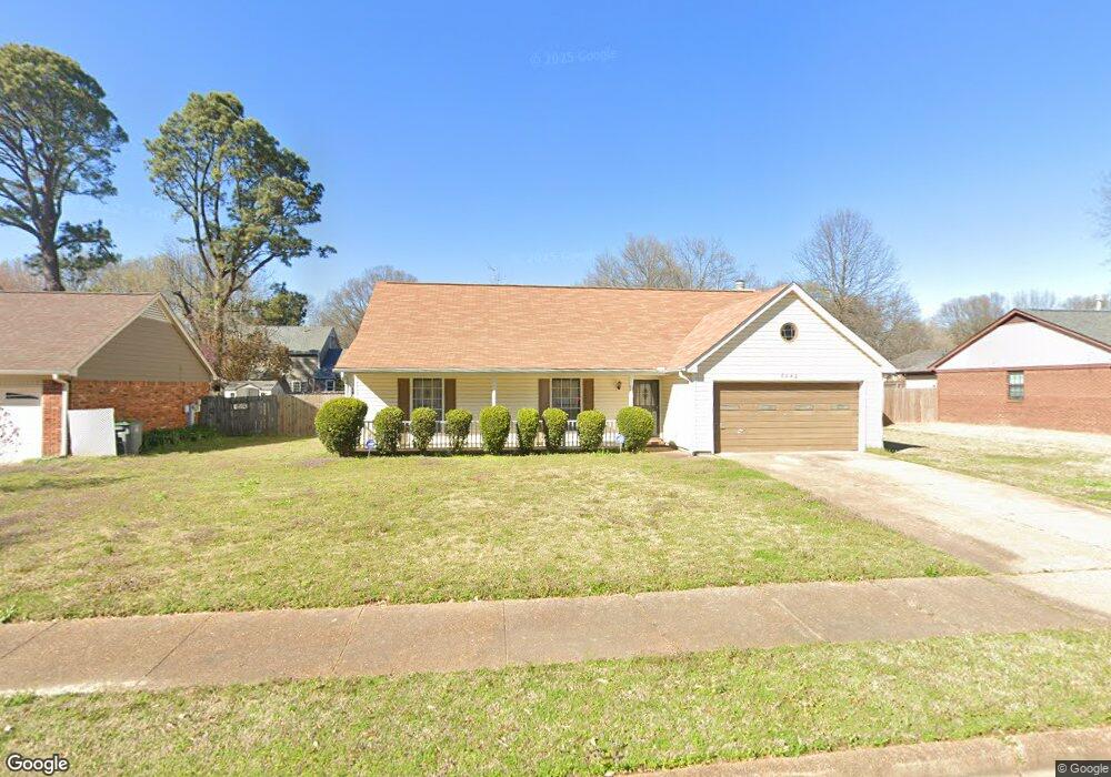
6842 Bainbridge Dr Memphis, TN 38119
Shady Grove NeighborhoodEstimated Value: $212,306 - $237,000
3
Beds
2
Baths
1,469
Sq Ft
$150/Sq Ft
Est. Value
About This Home
This home is located at 6842 Bainbridge Dr, Memphis, TN 38119 and is currently estimated at $220,577, approximately $150 per square foot. 6842 Bainbridge Dr is a home located in Shelby County with nearby schools including Oak Forest Elementary, Ridgeway Middle School, and Ridgeway High School.
Ownership History
Date
Name
Owned For
Owner Type
Purchase Details
Closed on
Oct 31, 2007
Sold by
Young Barry C and Young Penelope B
Bought by
Lane Gail
Current Estimated Value
Home Financials for this Owner
Home Financials are based on the most recent Mortgage that was taken out on this home.
Original Mortgage
$110,650
Outstanding Balance
$68,971
Interest Rate
6.27%
Mortgage Type
Purchase Money Mortgage
Estimated Equity
$151,606
Purchase Details
Closed on
May 10, 2001
Sold by
Young Barry C and Young Penelope B
Bought by
Young Barry C and Young Penelope B
Create a Home Valuation Report for This Property
The Home Valuation Report is an in-depth analysis detailing your home's value as well as a comparison with similar homes in the area
Home Values in the Area
Average Home Value in this Area
Purchase History
| Date | Buyer | Sale Price | Title Company |
|---|---|---|---|
| Lane Gail | $116,500 | None Available | |
| Young Barry C | -- | -- | |
| Young Barry C | -- | -- |
Source: Public Records
Mortgage History
| Date | Status | Borrower | Loan Amount |
|---|---|---|---|
| Open | Lane Gail | $110,650 |
Source: Public Records
Tax History
| Year | Tax Paid | Tax Assessment Tax Assessment Total Assessment is a certain percentage of the fair market value that is determined by local assessors to be the total taxable value of land and additions on the property. | Land | Improvement |
|---|---|---|---|---|
| 2025 | $1,250 | $50,550 | $8,500 | $42,050 |
| 2024 | $1,250 | $36,875 | $7,650 | $29,225 |
| 2023 | $2,246 | $36,875 | $7,650 | $29,225 |
| 2022 | $2,246 | $36,875 | $7,650 | $29,225 |
| 2021 | $2,273 | $36,875 | $7,650 | $29,225 |
| 2020 | $2,052 | $28,325 | $6,450 | $21,875 |
| 2019 | $2,052 | $28,325 | $6,450 | $21,875 |
| 2018 | $2,052 | $28,325 | $6,450 | $21,875 |
| 2017 | $1,164 | $28,325 | $6,450 | $21,875 |
| 2016 | $1,109 | $25,375 | $0 | $0 |
| 2014 | $1,109 | $25,375 | $0 | $0 |
Source: Public Records
Map
Nearby Homes
- 2819 McVay Trail Dr
- 6736 Kirby Trace Cove
- 6725 Kirby Trace Cove
- 2660 Stout Cove
- 2677 Tangbourne Dr
- 6683 Kirby Oaks Ln
- 6830 Monan Cove
- 2945 Millers Pond Dr
- 7038 Baintree Cove
- 2961 Jib Cove Unit 30
- 2618 Abercorn Cove
- 6878 Norhan Cove
- 6765 Kirby Lawn Cove
- 6985 Wittenham Cove
- 2587 Mcvay Rd
- 6691 Vinings Creek Cove W
- 6531 Kirby Gate Cove
- 2997 Riverdale Rd
- 6650 Wynne Oak Cove
- 2479 Allelon Bend Ln
- 6834 Bainbridge Dr
- 6852 Bainbridge Dr
- 6843 Amersham Dr
- 6835 Amersham Dr
- 6853 Amersham Dr
- 6841 Bainbridge Dr
- 6860 Bainbridge Dr
- 6826 Bainbridge Dr
- 6851 Bainbridge Dr
- 6833 Bainbridge Dr
- 6861 Amersham Dr
- 6827 Amersham Dr
- 6859 Bainbridge Dr
- 6825 Bainbridge Dr
- 6870 Bainbridge Dr
- 6816 Bainbridge Dr
- 6869 Amersham Dr
- 6844 Amersham Dr
- 6817 Amersham Dr
- 6869 Bainbridge Dr
Your Personal Tour Guide
Ask me questions while you tour the home.