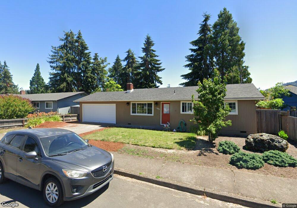
685 70th St Springfield, OR 97478
Thurston NeighborhoodEstimated Value: $343,000 - $364,442
3
Beds
1
Bath
1,378
Sq Ft
$254/Sq Ft
Est. Value
About This Home
This home is located at 685 70th St, Springfield, OR 97478 and is currently estimated at $350,361, approximately $254 per square foot. 685 70th St is a home located in Lane County with nearby schools including Thurston Elementary School, Thurston Middle School, and Thurston High School.
Ownership History
Date
Name
Owned For
Owner Type
Purchase Details
Closed on
Jun 1, 2015
Sold by
The Bank Of New York Mellon
Bought by
Billie Everett
Current Estimated Value
Purchase Details
Closed on
Apr 21, 2015
Sold by
Hespen Steve and Hespen Donna
Bought by
The Bank Of New York Mellon
Create a Home Valuation Report for This Property
The Home Valuation Report is an in-depth analysis detailing your home's value as well as a comparison with similar homes in the area
Home Values in the Area
Average Home Value in this Area
Purchase History
| Date | Buyer | Sale Price | Title Company |
|---|---|---|---|
| Billie Everett | $115,000 | Fidelity National Title Co | |
| The Bank Of New York Mellon | $163,834 | Nextitle |
Source: Public Records
Tax History
| Year | Tax Paid | Tax Assessment Tax Assessment Total Assessment is a certain percentage of the fair market value that is determined by local assessors to be the total taxable value of land and additions on the property. | Land | Improvement |
|---|---|---|---|---|
| 2025 | $2,990 | $163,056 | -- | -- |
| 2024 | $2,942 | $158,307 | -- | -- |
| 2023 | $2,942 | $153,697 | $0 | $0 |
| 2022 | $2,724 | $149,221 | $0 | $0 |
| 2021 | $2,676 | $144,875 | $0 | $0 |
| 2020 | $2,597 | $140,656 | $0 | $0 |
| 2019 | $2,519 | $136,560 | $0 | $0 |
| 2018 | $2,375 | $128,721 | $0 | $0 |
| 2017 | $2,284 | $128,721 | $0 | $0 |
| 2016 | $2,236 | $124,972 | $0 | $0 |
| 2015 | $2,172 | $121,332 | $0 | $0 |
| 2014 | -- | $117,798 | $0 | $0 |
Source: Public Records
Map
Nearby Homes
- 6898 Thurston Rd
- 0 71st St
- 7080 Thurston Rd Unit 2
- 0 Omlid Dr Unit 1 706471345
- 0 Omlid Dr Unit 11
- 0 Omlid Dr Unit 27 796722689
- 0 Omlid Dr Unit 26 256458253
- 0 Omlid Dr Unit 10
- 0 Omlid Dr Unit 3 154724851
- 0 Omlid Dr Unit 2 312357104
- 353 71st St
- 6875 B St
- 555 66th St
- 250 68th St
- 246 S 70th St
- 6540 B St
- 6964 Bluebelle Way
- 6445 B St
- 616 S 71st St
- 7027 S E St
Your Personal Tour Guide
Ask me questions while you tour the home.