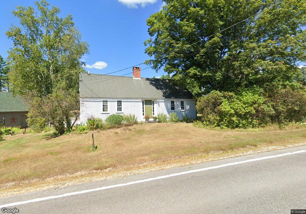
685 Moultonboro Neck Rd Moultonborough, NH 03254
Estimated Value: $516,000 - $1,002,000
3
Beds
2
Baths
2,158
Sq Ft
$302/Sq Ft
Est. Value
About This Home
This home is located at 685 Moultonboro Neck Rd, Moultonborough, NH 03254 and is currently estimated at $652,445, approximately $302 per square foot. 685 Moultonboro Neck Rd is a home located in Carroll County with nearby schools including Moultonborough Central School and Moultonborough Academy High School.
Ownership History
Date
Name
Owned For
Owner Type
Purchase Details
Closed on
Jan 4, 2024
Sold by
Earl W & Gail Miller Ret and Miller
Bought by
Filpula Kenneth J and Filpula Carolyn M
Current Estimated Value
Purchase Details
Closed on
Sep 17, 2012
Sold by
Robert V & B Lee Ret and Filpula
Bought by
Filpula Carloyn M
Purchase Details
Closed on
Aug 24, 1998
Sold by
Read Christopher T and Read Nancy T
Bought by
Filpula Kenneth J and Filpula Carolyn M
Create a Home Valuation Report for This Property
The Home Valuation Report is an in-depth analysis detailing your home's value as well as a comparison with similar homes in the area
Home Values in the Area
Average Home Value in this Area
Purchase History
| Date | Buyer | Sale Price | Title Company |
|---|---|---|---|
| Filpula Kenneth J | -- | None Available | |
| Filpula Carloyn M | -- | -- | |
| Filpula Kenneth J | $129,000 | -- |
Source: Public Records
Mortgage History
| Date | Status | Borrower | Loan Amount |
|---|---|---|---|
| Previous Owner | Filpula Kenneth J | $190,000 | |
| Previous Owner | Filpula Kenneth J | $120,000 | |
| Previous Owner | Filpula Kenneth J | $144,500 | |
| Previous Owner | Filpula Kenneth J | $154,500 |
Source: Public Records
Tax History Compared to Growth
Tax History
| Year | Tax Paid | Tax Assessment Tax Assessment Total Assessment is a certain percentage of the fair market value that is determined by local assessors to be the total taxable value of land and additions on the property. | Land | Improvement |
|---|---|---|---|---|
| 2024 | $2,312 | $409,200 | $152,900 | $256,300 |
| 2023 | $2,148 | $376,900 | $138,600 | $238,300 |
| 2022 | $1,644 | $343,900 | $124,800 | $219,100 |
| 2021 | $2,086 | $298,900 | $103,400 | $195,500 |
| 2020 | $375 | $298,900 | $103,400 | $195,500 |
| 2019 | $2,074 | $290,100 | $104,800 | $185,300 |
| 2018 | $290 | $281,200 | $98,500 | $182,700 |
| 2017 | $262 | $271,300 | $98,500 | $172,800 |
| 2016 | $2,269 | $259,600 | $98,500 | $161,100 |
| 2015 | $2,344 | $260,200 | $105,500 | $154,700 |
| 2014 | $2,305 | $260,200 | $105,500 | $154,700 |
| 2013 | $1,967 | $226,300 | $105,500 | $120,800 |
Source: Public Records
Map
Nearby Homes
- 5 Ferry Rd
- 29 Kona Farm Rd
- 31 Rays Way
- 21 Orton Ln
- 11 Geery Ln
- 244 Wentworth Shores Rd
- 27 First Point Rd
- 203 Krainewood Dr
- 122 Toltec Point Rd
- 30 Leopards Leap
- 41 Saint Gallen St
- 22 Tiger Trail
- 00 Grande St Unit 44
- 33 Blackadar Ln
- 72 Sundorf St
- 2 Little Badger Island
- 00 Sundorf St Unit 117
- 16 Myrtle Dr
- 16 Long Island Rd
- 22 Sundorf St
- 693 Moultonboro Neck Rd
- 684 Moultonboro Neck Rd
- 673 Moultonboro Neck Rd
- 699 Moultonboro Neck Rd
- 696 Moultonboro Neck Rd
- 670 Moultonboro Neck Rd
- 659 Moultonboro Neck Rd
- 703 Moultonboro Neck Rd
- 655 Moultonboro Neck Rd
- 710 Moultonboro Neck Rd
- 652 Moultonboro Neck Rd
- 714 Moultonboro Neck Rd
- 00 Ferry Rd
- 0 Ferry Rd
- 0 Ferry Rd Unit 4158790
- 0 Ferry Rd Unit 2829646
- 0 Ferry Rd Unit 2762850
- 0 Ferry Rd Unit 4347775
- 0 Ferry Rd Unit Lot 3 4507186
- 3 Ferry Rd