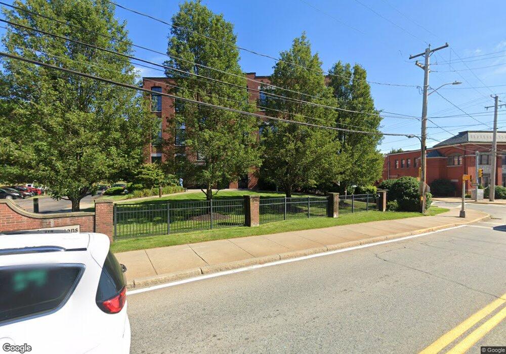
685 Social St Unit 312 Woonsocket, RI 02895
East Woonsocket NeighborhoodEstimated Value: $348,000 - $366,920
2
Beds
2
Baths
1,746
Sq Ft
$204/Sq Ft
Est. Value
About This Home
This home is located at 685 Social St Unit 312, Woonsocket, RI 02895 and is currently estimated at $355,980, approximately $203 per square foot. 685 Social St Unit 312 is a home located in Providence County with nearby schools including Woonsocket High School, Rise Prep Mayoral Academy Middle School, and Rise Prep Mayoral Academy.
Ownership History
Date
Name
Owned For
Owner Type
Purchase Details
Closed on
Aug 2, 2010
Sold by
Nenko Alexander
Bought by
Liotta Eric
Current Estimated Value
Home Financials for this Owner
Home Financials are based on the most recent Mortgage that was taken out on this home.
Original Mortgage
$104,800
Outstanding Balance
$69,579
Interest Rate
4.78%
Mortgage Type
Purchase Money Mortgage
Estimated Equity
$286,401
Purchase Details
Closed on
May 15, 2007
Sold by
Mass Bay Realty Group
Bought by
Nenko Alexander
Home Financials for this Owner
Home Financials are based on the most recent Mortgage that was taken out on this home.
Original Mortgage
$211,400
Interest Rate
6.21%
Mortgage Type
Purchase Money Mortgage
Create a Home Valuation Report for This Property
The Home Valuation Report is an in-depth analysis detailing your home's value as well as a comparison with similar homes in the area
Home Values in the Area
Average Home Value in this Area
Purchase History
| Date | Buyer | Sale Price | Title Company |
|---|---|---|---|
| Liotta Eric | $131,000 | -- | |
| Nenko Alexander | $234,900 | -- |
Source: Public Records
Mortgage History
| Date | Status | Borrower | Loan Amount |
|---|---|---|---|
| Open | Nenko Alexander | $104,800 | |
| Previous Owner | Nenko Alexander | $211,400 |
Source: Public Records
Tax History Compared to Growth
Tax History
| Year | Tax Paid | Tax Assessment Tax Assessment Total Assessment is a certain percentage of the fair market value that is determined by local assessors to be the total taxable value of land and additions on the property. | Land | Improvement |
|---|---|---|---|---|
| 2025 | $3,841 | $342,000 | $0 | $342,000 |
| 2024 | $3,793 | $260,900 | $0 | $260,900 |
| 2023 | $3,647 | $260,900 | $0 | $260,900 |
| 2022 | $3,647 | $260,900 | $0 | $260,900 |
| 2021 | $3,582 | $150,800 | $0 | $150,800 |
| 2020 | $3,619 | $150,800 | $0 | $150,800 |
| 2018 | $3,314 | $150,800 | $0 | $150,800 |
| 2017 | $4,419 | $146,800 | $0 | $146,800 |
| 2016 | $4,674 | $146,800 | $0 | $146,800 |
| 2015 | $5,370 | $146,800 | $0 | $146,800 |
| 2014 | $4,924 | $137,000 | $0 | $137,000 |
Source: Public Records
Map
Nearby Homes
- 685 Social St Unit 308
- 685 Social St Unit 211
- 685 Social St Unit 215
- 752 Social St
- 84 Chester St
- 60 Rathbun St
- 40 Burnside Ave
- 96 E Mill St
- 263 Elm St
- 208 Dulude Ave
- 321 Dulude Ave
- 311 Elm St
- 203 Dulude Ave
- 56 Mailloux St
- 0 E School St
- 13 Ethel St
- 23 Rutland St
- 127 St Leon Ave
- 715 Elm St
- 64 Harrison Ave
- 685 Social St Unit 204
- 685 Social St Unit 212
- 685 Social St Unit 106
- 685 Social St Unit 302
- 685 Social St Unit 210
- 685 Social St Unit 303
- 685 Social St Unit 304
- 685 Social St Unit 315
- 685 Social St Unit 108
- 685 Social St Unit 103
- 685 Social St Unit 314
- 685 Social St Unit 205
- 685 Social St Unit 208
- 685 Social St Unit 207
- 685 Social St Unit 306
- 685 Social St Unit 301
- 685 Social St Unit 109
- 685 Social St Unit 309
- 685 Social St Unit 111
- 685 Social St Unit 201