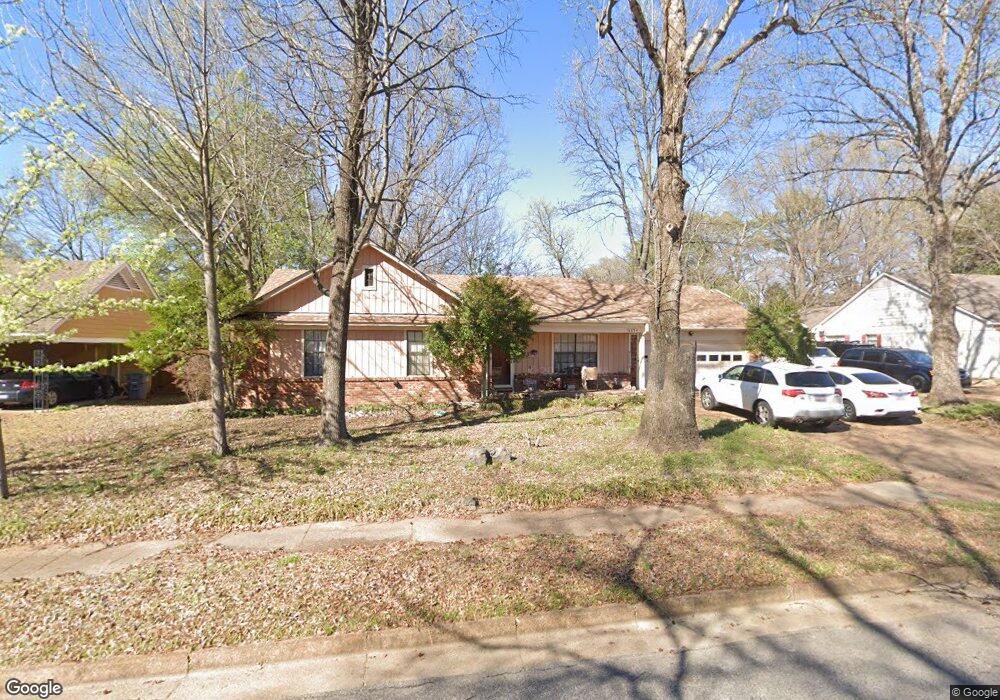
6854 Amersham Dr Memphis, TN 38119
Shady Grove NeighborhoodEstimated Value: $208,000 - $234,000
3
Beds
2
Baths
1,744
Sq Ft
$126/Sq Ft
Est. Value
About This Home
This home is located at 6854 Amersham Dr, Memphis, TN 38119 and is currently estimated at $220,151, approximately $126 per square foot. 6854 Amersham Dr is a home located in Shelby County with nearby schools including Oak Forest Elementary, Ridgeway Middle School, and Ridgeway High School.
Ownership History
Date
Name
Owned For
Owner Type
Purchase Details
Closed on
Oct 29, 1997
Sold by
Lyle Kenneth C and Lyle Kathy A
Bought by
Mcneil Wendy C
Current Estimated Value
Home Financials for this Owner
Home Financials are based on the most recent Mortgage that was taken out on this home.
Original Mortgage
$118,240
Interest Rate
9.5%
Mortgage Type
Seller Take Back
Create a Home Valuation Report for This Property
The Home Valuation Report is an in-depth analysis detailing your home's value as well as a comparison with similar homes in the area
Home Values in the Area
Average Home Value in this Area
Purchase History
| Date | Buyer | Sale Price | Title Company |
|---|---|---|---|
| Mcneil Wendy C | $122,900 | Southern Escrow Title Compan |
Source: Public Records
Mortgage History
| Date | Status | Borrower | Loan Amount |
|---|---|---|---|
| Closed | Mcneil Wendy C | $118,240 |
Source: Public Records
Tax History Compared to Growth
Tax History
| Year | Tax Paid | Tax Assessment Tax Assessment Total Assessment is a certain percentage of the fair market value that is determined by local assessors to be the total taxable value of land and additions on the property. | Land | Improvement |
|---|---|---|---|---|
| 2025 | $1,439 | $50,350 | $8,500 | $41,850 |
| 2024 | $1,439 | $42,450 | $7,650 | $34,800 |
| 2023 | $2,586 | $42,450 | $7,650 | $34,800 |
| 2022 | $2,586 | $42,450 | $7,650 | $34,800 |
| 2021 | $2,616 | $42,450 | $7,650 | $34,800 |
| 2020 | $2,110 | $29,125 | $6,450 | $22,675 |
| 2019 | $2,110 | $29,125 | $6,450 | $22,675 |
| 2018 | $2,110 | $29,125 | $6,450 | $22,675 |
| 2017 | $1,197 | $29,125 | $6,450 | $22,675 |
| 2016 | $1,193 | $27,300 | $0 | $0 |
| 2014 | $1,193 | $27,300 | $0 | $0 |
Source: Public Records
Map
Nearby Homes
- 2819 McVay Trail Dr
- 2648 Breenwood Ln
- 2652 Hacton Cove
- 6801 Stout Rd
- 6703 Kirby Oaks Cove N
- 6683 Kirby Oaks Ln
- 6677 Millers Pond Cir
- 2951 Millers Pond Dr
- 6647 Kirby Oaks Cove S
- 7038 Baintree Cove
- 6691 Vinings Creek Cove W
- 2997 Riverdale Rd
- 3092 S Wesley Ct
- 2607 Sulgrave Cove
- 2479 Allelon Bend Ln
- 6536 Sulgrave Dr
- 2619 Crimmins Cove
- 6551 Espalier Cir
- 7077 Allelon Cir N
- 2357 Thornwood Ln
- 6844 Amersham Dr
- 6862 Amersham Dr
- 6853 Amersham Dr
- 6836 Amersham Dr
- 6870 Amersham Dr
- 6843 Amersham Dr
- 6861 Amersham Dr
- 6861 Wytham Dr
- 6843 Wytham Dr
- 6835 Amersham Dr
- 6869 Amersham Dr
- 6828 Amersham Dr
- 6880 Amersham Dr
- 6869 Wytham Dr
- 6835 Wytham Dr
- 6852 Bainbridge Dr
- 6842 Bainbridge Dr
- 6860 Bainbridge Dr
- 6827 Amersham Dr
- 6879 Wytham Dr