Estimated Value: $1,931,615
4
Beds
5
Baths
5,654
Sq Ft
$342/Sq Ft
Est. Value
About This Home
This home is located at 68551 Kerns Loop, Cove, OR 97824 and is currently estimated at $1,931,615, approximately $341 per square foot. 68551 Kerns Loop is a home located in Union County.
Ownership History
Date
Name
Owned For
Owner Type
Purchase Details
Closed on
Feb 13, 2024
Sold by
James R Challis Living Trust
Bought by
Robinson Geoffrey K and Robinson Rachel J
Current Estimated Value
Purchase Details
Closed on
Jun 14, 2023
Sold by
Howell David W and Howell Connie J
Bought by
James R Challis Living Trust and Challis
Purchase Details
Closed on
Aug 27, 2007
Sold by
Howell David
Bought by
Howell David W and Howell Connie J
Home Financials for this Owner
Home Financials are based on the most recent Mortgage that was taken out on this home.
Original Mortgage
$100,000
Interest Rate
6%
Mortgage Type
Adjustable Rate Mortgage/ARM
Create a Home Valuation Report for This Property
The Home Valuation Report is an in-depth analysis detailing your home's value as well as a comparison with similar homes in the area
Purchase History
| Date | Buyer | Sale Price | Title Company |
|---|---|---|---|
| Robinson Geoffrey K | $300,000 | Eastern Oregon Title | |
| James R Challis Living Trust | $510,000 | Eastern Oregon Title | |
| Howell David W | -- | Eastern Oregon Title Inc |
Source: Public Records
Mortgage History
| Date | Status | Borrower | Loan Amount |
|---|---|---|---|
| Previous Owner | Howell David W | $100,000 |
Source: Public Records
Tax History
| Year | Tax Paid | Tax Assessment Tax Assessment Total Assessment is a certain percentage of the fair market value that is determined by local assessors to be the total taxable value of land and additions on the property. | Land | Improvement |
|---|---|---|---|---|
| 2025 | $12,080 | $1,318,384 | $8,564 | $1,309,820 |
| 2024 | $11,724 | $1,280,110 | $8,440 | $1,271,670 |
| 2023 | $11,471 | $1,242,960 | $8,320 | $1,234,640 |
| 2022 | $11,102 | $1,206,862 | $8,197 | $1,198,665 |
| 2021 | $10,560 | $1,171,882 | $8,129 | $1,163,753 |
| 2020 | $9,820 | $1,114,881 | $8,011 | $1,106,870 |
| 2019 | $9,531 | $1,083,187 | $7,897 | $1,075,290 |
| 2018 | $9,414 | $1,083,076 | $7,786 | $1,075,290 |
| 2017 | $10,149 | $1,137,536 | $7,678 | $1,129,858 |
| 2016 | $9,463 | $1,075,084 | $7,574 | $1,067,510 |
| 2015 | $9,483 | $1,096,203 | $7,353 | $1,088,850 |
| 2014 | $9,483 | $1,104,090 | $7,140 | $1,096,950 |
| 2013 | $10,360 | $1,088,576 | $6,934 | $1,081,642 |
Source: Public Records
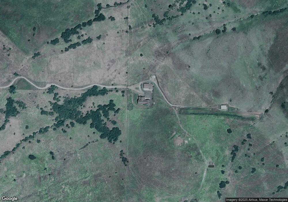
Map
Nearby Homes
- 69431 Antles Ln
- 0 Antles Ln Unit 436244681
- 60923 Overlook Dr
- 69717 Antles Ln
- 0 Conklin Ln Unit 232609065
- 1107 Jasper St
- 69478 Haefer Ln
- 701 2nd St
- 0 Rose Ridge Rd Unit 3
- 0 Rose Ridge Rd Unit 1
- 0 Rose Ridge Rd Unit 2
- 59926 Comstock Rd
- 610 Ruckman Ave
- 61615 High Valley Rd
- 293 E Ivy Ln
- 61993 Quail Rd
- 141 E Bryan Ave
- 63150 Booth Ln
- 169 W Chestnut St
- 10710 S Mcalister Rd
Your Personal Tour Guide
Ask me questions while you tour the home.