Estimated Value: $347,048 - $375,000
3
Beds
2
Baths
1,401
Sq Ft
$257/Sq Ft
Est. Value
About This Home
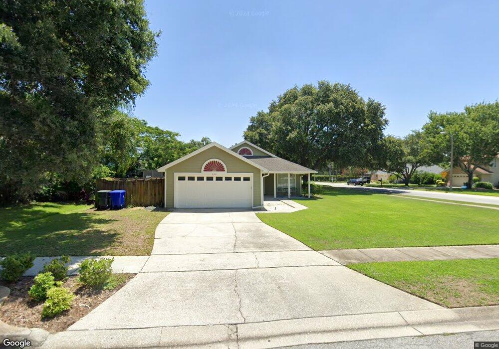
This home is located at 686 Safeharbour Dr, Ocoee, FL 34761 and is currently estimated at $360,262, approximately $257 per square foot. 686 Safeharbour Dr is a home located in Orange County with nearby schools including Ocoee Elementary School, Ocoee Middle School, and Ocoee High School.
Ownership History
Date
Name
Owned For
Owner Type
Purchase Details
Closed on
Jul 24, 2006
Sold by
Harris Elliott and Harris Betsy
Bought by
Wilson Sean Thomas and Wilson Stacy Nicole
Current Estimated Value
Home Financials for this Owner
Home Financials are based on the most recent Mortgage that was taken out on this home.
Original Mortgage
$254,200
Outstanding Balance
$165,631
Interest Rate
8.49%
Mortgage Type
Purchase Money Mortgage
Estimated Equity
$194,631
Purchase Details
Closed on
Feb 25, 2005
Sold by
Cole Michael J and Cole Cheri A
Bought by
Harris Elliott and Harris Betsy
Purchase Details
Closed on
May 5, 1998
Sold by
Howell Richard K and Howell Diane D
Bought by
Cole Michael J and Cole Cheri A
Home Financials for this Owner
Home Financials are based on the most recent Mortgage that was taken out on this home.
Original Mortgage
$102,352
Interest Rate
7.03%
Mortgage Type
FHA
Create a Home Valuation Report for This Property
The Home Valuation Report is an in-depth analysis detailing your home's value as well as a comparison with similar homes in the area
Home Values in the Area
Average Home Value in this Area
Purchase History
| Date | Buyer | Sale Price | Title Company |
|---|---|---|---|
| Wilson Sean Thomas | $254,200 | Attorney | |
| Harris Elliott | $175,000 | -- | |
| Cole Michael J | $102,900 | -- |
Source: Public Records
Mortgage History
| Date | Status | Borrower | Loan Amount |
|---|---|---|---|
| Open | Wilson Sean Thomas | $254,200 | |
| Previous Owner | Cole Michael J | $102,352 |
Source: Public Records
Tax History
| Year | Tax Paid | Tax Assessment Tax Assessment Total Assessment is a certain percentage of the fair market value that is determined by local assessors to be the total taxable value of land and additions on the property. | Land | Improvement |
|---|---|---|---|---|
| 2025 | $2,060 | $130,371 | -- | -- |
| 2024 | $1,793 | $126,697 | -- | -- |
| 2023 | $1,793 | $119,540 | $0 | $0 |
| 2022 | $1,722 | $116,058 | $0 | $0 |
| 2021 | $1,694 | $112,678 | $0 | $0 |
| 2020 | $1,614 | $111,122 | $0 | $0 |
| 2019 | $1,663 | $108,624 | $0 | $0 |
| 2018 | $1,646 | $106,599 | $0 | $0 |
| 2017 | $1,630 | $145,124 | $45,000 | $100,124 |
| 2016 | $1,627 | $141,871 | $45,000 | $96,871 |
| 2015 | $1,650 | $136,911 | $45,000 | $91,911 |
| 2014 | $1,640 | $123,539 | $45,000 | $78,539 |
Source: Public Records
Map
Nearby Homes
- 1007 Featherstone Cir
- 630 Olympic Dr Unit 9B
- 750 Crooked Creek Dr
- 970 Davenwood Ct
- 946 Davenwood Ct
- 952 Davenwood Ct
- 813 Lancer Cir
- 774 Lancer Cir
- 111 Bismark Ct
- 131 Bismark Ct
- 607 E Lakeshore Dr
- 618 Statenville Ct
- 410 E Orlando Ave Unit 4
- 404 E Orlando Ave Unit B-3
- 404 E Orlando Ave Unit 8B
- 404 E Orlando Ave Unit 1B
- 112 Olympus Dr
- 1339 Olympia Park Cir
- 573 Neumann Village Ct
- 621 Aldama Ct
- 676 Safeharbour Dr
- 1078 Turnbuckle Ct
- 1104 Turnbuckle Ct
- 658 Safeharbour Dr
- 1041 Turnbuckle Ct
- 683 Safeharbour Dr
- 1051 Turnbuckle Ct
- 671 Safeharbour Dr
- 1029 Turnbuckle Ct
- 1118 Turnbuckle Ct
- 1067 Turnbuckle Ct
- 655 Safeharbour Dr
- 642 Safeharbour Dr
- 1003 Turnbuckle Ct
- 1134 Turnbuckle Ct
- 639 Safeharbour Dr
- 938 Hire Cir
- 936 Hire Cir
- 626 Safeharbour Dr
- 1095 Turnbuckle Ct
Your Personal Tour Guide
Ask me questions while you tour the home.