Estimated Value: $584,000 - $842,192
4
Beds
3
Baths
2,504
Sq Ft
$285/Sq Ft
Est. Value
About This Home
This home is located at 68605 Kerns Loop, Cove, OR 97824 and is currently estimated at $713,096, approximately $284 per square foot. 68605 Kerns Loop is a home located in Union County.
Ownership History
Date
Name
Owned For
Owner Type
Purchase Details
Closed on
Jun 22, 2021
Sold by
Murchison Darren R and Murchison Cheryl L
Bought by
Gorbett Homer V and Homer V Gorbett Trust
Current Estimated Value
Purchase Details
Closed on
Feb 18, 2021
Sold by
Gorbett Homer V
Bought by
Gorbett Homer V and Homer V Gorbett Trust
Purchase Details
Closed on
Apr 11, 2011
Sold by
Gorbett Homer V and The Homer V Gorbett Trust
Bought by
Gorbett Homer V
Purchase Details
Closed on
Jan 24, 2011
Sold by
Gorbett Homer V
Bought by
Gorbett Homer V and Homer V Gorbett Trust
Purchase Details
Closed on
Nov 19, 2010
Sold by
Story Rebecca Ann
Bought by
Gorbett Homer V
Home Financials for this Owner
Home Financials are based on the most recent Mortgage that was taken out on this home.
Original Mortgage
$245,000
Interest Rate
4.83%
Mortgage Type
Purchase Money Mortgage
Purchase Details
Closed on
Aug 4, 2010
Sold by
Gorbett Homer V and Banta Allan H
Bought by
Story Rebecca Ann
Create a Home Valuation Report for This Property
The Home Valuation Report is an in-depth analysis detailing your home's value as well as a comparison with similar homes in the area
Purchase History
| Date | Buyer | Sale Price | Title Company |
|---|---|---|---|
| Gorbett Homer V | -- | Eastern Oregon Title Inc | |
| Murchison Darren R | $450,000 | Eastern Oregon Title Inc | |
| Gorbett Homer V | -- | None Available | |
| Gorbett Homer V | -- | Eastern Oregon Title Inc | |
| Gorbett Homer V | -- | None Available | |
| Gorbett Homer V | $450,000 | None Available | |
| Story Rebecca Ann | $450,000 | Atco |
Source: Public Records
Mortgage History
| Date | Status | Borrower | Loan Amount |
|---|---|---|---|
| Previous Owner | Gorbett Homer V | $245,000 |
Source: Public Records
Tax History
| Year | Tax Paid | Tax Assessment Tax Assessment Total Assessment is a certain percentage of the fair market value that is determined by local assessors to be the total taxable value of land and additions on the property. | Land | Improvement |
|---|---|---|---|---|
| 2025 | $3,068 | $306,440 | $47,550 | $258,890 |
| 2024 | $3,096 | $297,800 | $46,440 | $251,360 |
| 2023 | $2,993 | $289,440 | $45,390 | $244,050 |
| 2022 | $2,860 | $281,310 | $44,369 | $236,941 |
| 2021 | $2,771 | $273,409 | $43,369 | $230,040 |
| 2020 | $2,697 | $265,739 | $42,399 | $223,340 |
| 2019 | $2,625 | $259,066 | $41,456 | $217,610 |
| 2018 | $2,589 | $256,637 | $40,543 | $216,094 |
| 2017 | $2,528 | $249,454 | $39,654 | $209,800 |
| 2016 | $2,350 | $230,843 | $38,793 | $192,050 |
| 2015 | $2,283 | $233,386 | $37,956 | $195,430 |
| 2014 | $2,283 | $228,044 | $37,144 | $190,900 |
| 2013 | $2,490 | $232,275 | $36,015 | $196,260 |
Source: Public Records
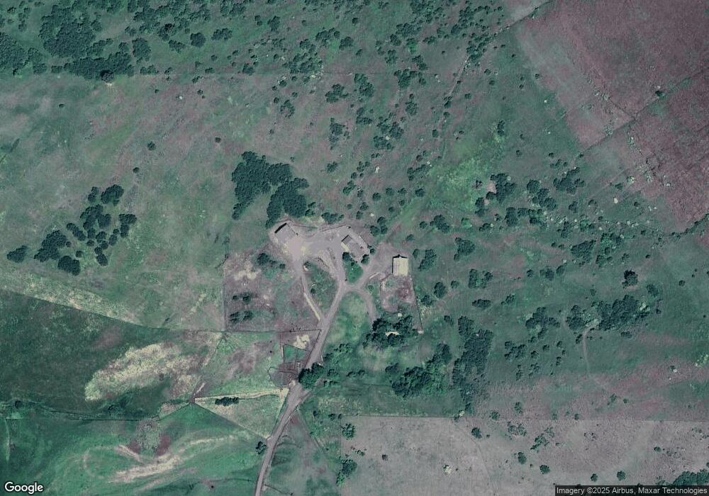
Map
Nearby Homes
- 69431 Antles Ln
- 60923 Overlook Dr
- 0 Antles Ln Unit 436244681
- 69717 Antles Ln
- 0 Conklin Ln Unit 232609065
- 60908 Stackland Rd
- 1107 Jasper St
- 701 2nd St
- 0 Rose Ridge Rd Unit 3
- 0 Rose Ridge Rd Unit 1
- 0 Rose Ridge Rd Unit 2
- 66104 Hull Ln
- 59926 Comstock Rd
- 610 Ruckman Ave
- 61615 High Valley Rd
- 61993 Quail Rd
- 63150 Booth Ln
- 10710 S Mcalister Rd
- 10500 W 5th St
- 68881 Indian Creek Rd
Your Personal Tour Guide
Ask me questions while you tour the home.