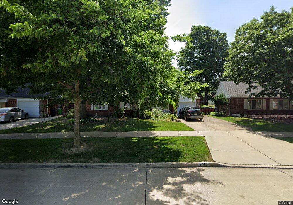
687 Birch Ave Euclid, OH 44132
Estimated Value: $146,000 - $166,000
3
Beds
2
Baths
1,410
Sq Ft
$111/Sq Ft
Est. Value
About This Home
This home is located at 687 Birch Ave, Euclid, OH 44132 and is currently estimated at $156,166, approximately $110 per square foot. 687 Birch Ave is a home located in Cuyahoga County with nearby schools including Shoreview Elementary School, Euclid High School, and Mater Dei Academy.
Ownership History
Date
Name
Owned For
Owner Type
Purchase Details
Closed on
Mar 15, 1976
Sold by
Bradlee Wm L and Bradlee Nancy
Bought by
Bradlee Nancy F
Current Estimated Value
Purchase Details
Closed on
Jan 1, 1975
Bought by
Bradlee Wm L and Bradlee Nancy
Create a Home Valuation Report for This Property
The Home Valuation Report is an in-depth analysis detailing your home's value as well as a comparison with similar homes in the area
Home Values in the Area
Average Home Value in this Area
Purchase History
| Date | Buyer | Sale Price | Title Company |
|---|---|---|---|
| Bradlee Nancy F | -- | -- | |
| Bradlee Wm L | -- | -- |
Source: Public Records
Tax History
| Year | Tax Paid | Tax Assessment Tax Assessment Total Assessment is a certain percentage of the fair market value that is determined by local assessors to be the total taxable value of land and additions on the property. | Land | Improvement |
|---|---|---|---|---|
| 2024 | $3,623 | $52,850 | $10,080 | $42,770 |
| 2023 | $3,386 | $39,420 | $8,930 | $30,490 |
| 2022 | $2,617 | $39,410 | $8,930 | $30,490 |
| 2021 | $2,904 | $39,410 | $8,930 | $30,490 |
| 2020 | $2,236 | $29,860 | $6,760 | $23,100 |
| 2019 | $2,009 | $85,300 | $19,300 | $66,000 |
| 2018 | $1,932 | $29,860 | $6,760 | $23,100 |
| 2017 | $1,991 | $26,010 | $5,430 | $20,580 |
| 2016 | $1,995 | $26,010 | $5,430 | $20,580 |
| 2015 | $1,819 | $26,010 | $5,430 | $20,580 |
| 2014 | $1,819 | $26,010 | $5,430 | $20,580 |
Source: Public Records
Map
Nearby Homes
- 730 Hemlock Dr
- 670 Hemlock Dr
- 597 Hemlock Dr
- 591 Hemlock Dr
- 815 E 272nd St
- 27190 Zeman Ave
- 27125 Mallard Ave
- 26931 Shoreview Ave
- 26831 Shoreview Ave
- 27430 Forestview Ave
- 610 E 266th St
- 26430 Drakefield Ave
- 1354 Craneing Rd
- 26351 Farringdon Ave
- 440 E 271st St
- 643 E 261st St
- 29310 Grand Blvd
- 625 Lloyd Rd
- 579 E 260th St
- 571 E 260th St
Your Personal Tour Guide
Ask me questions while you tour the home.