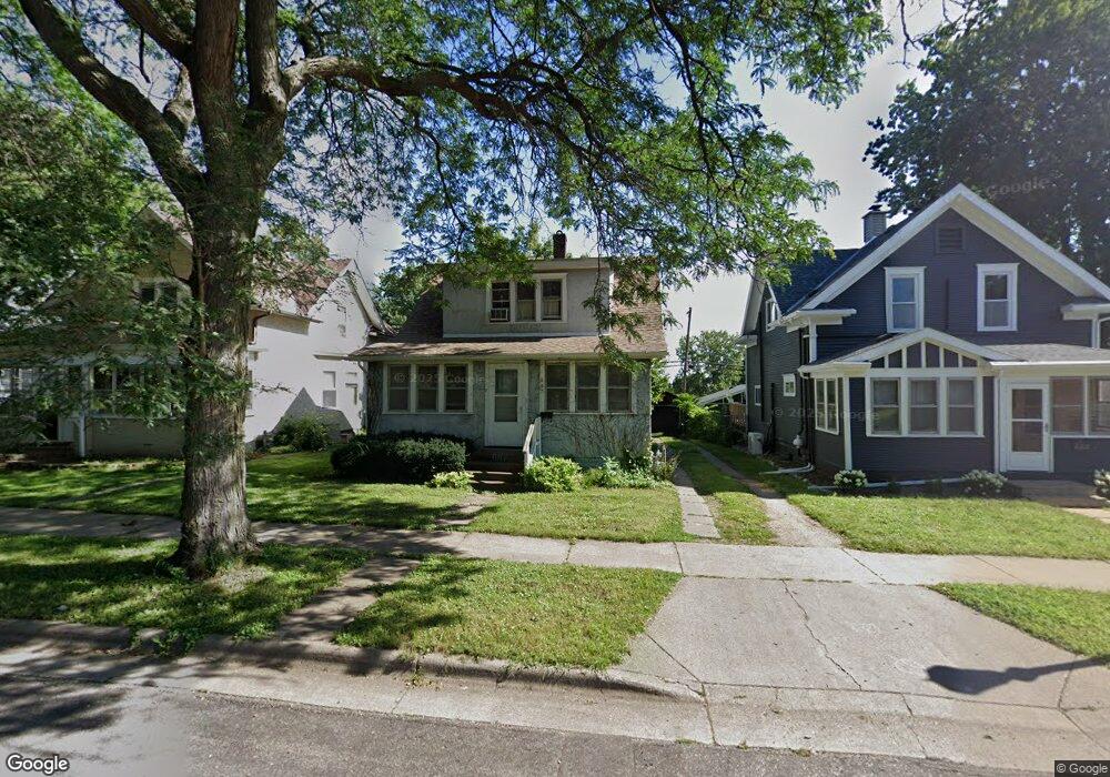
687 Simon Ave Saint Paul, MN 55117
Como Park NeighborhoodEstimated Value: $189,000 - $209,000
About This Home
This home is located at 687 Simon Ave, Saint Paul, MN 55117 and is currently estimated at $200,887, approximately $210 per square foot. 687 Simon Ave is a home located in Ramsey County with nearby schools including Como Park Elementary School, Murray Middle School, and Como Park Senior High School.
Ownership History
We collect this data history from publicly available records. To have your information removed, we recommend requesting removal directly through your county’s website.
Purchase Details
Purchase Details
Purchase Details
Purchase Details
Home Values in the Area
Average Home Value in this Area
Purchase History
We collect this data history from publicly available records. To have your information removed, we recommend requesting removal directly through your county’s website.
| Date | Buyer | Sale Price | Title Company |
|---|---|---|---|
| $100,000 | None Listed On Document | ||
| $100,000 | None Listed On Document | ||
| -- | None Available | ||
| $100,000 | None Available | ||
| $128,788 | None Available | ||
| -- | None Available | ||
| $125,000 | None Available |
Tax History
We collect this data history from publicly available records. To have your information removed, we recommend requesting removal directly through your county’s website.
| Year | Tax Paid | Tax Assessment Tax Assessment Total Assessment is a certain percentage of the fair market value that is determined by local assessors to be the total taxable value of land and additions on the property. | Land | Improvement |
|---|---|---|---|---|
| 2025 | $2,624 | $182,400 | $35,700 | $146,700 |
| 2023 | $2,624 | $174,500 | $35,700 | $138,800 |
| 2022 | $2,306 | $174,400 | $35,700 | $138,700 |
| 2021 | $2,030 | $150,100 | $35,700 | $114,400 |
| 2020 | $1,984 | $138,300 | $35,700 | $102,600 |
| 2019 | $1,756 | $128,300 | $35,700 | $92,600 |
| 2018 | $1,666 | $114,500 | $35,700 | $78,800 |
| 2017 | $1,812 | $114,300 | $28,600 | $85,700 |
| 2016 | $1,668 | $0 | $0 | $0 |
| 2015 | $1,632 | $106,500 | $28,600 | $77,900 |
| 2014 | $1,440 | $0 | $0 | $0 |
Map
- 1048 Dale St N
- 1070 Dale St N
- 1103 Loeb St
- 352 Como Ave
- 571 Front Ave
- 998 Jameson St
- 1104 MacKubin St
- 990 Como Place
- 1233 Maywood St
- 1024 Victoria St N
- 820 Wheelock Pkwy W
- 1265 Schletti St
- 1044 Cumberland St
- 1188 Arundel St
- 1300 Schletti St
- 1291 MacKubin St
- 741 Pierce Butler Route
- 397 Burgess St
- 1055 Virginia St
- 1051 Virginia St
Ask me questions while you tour the home.