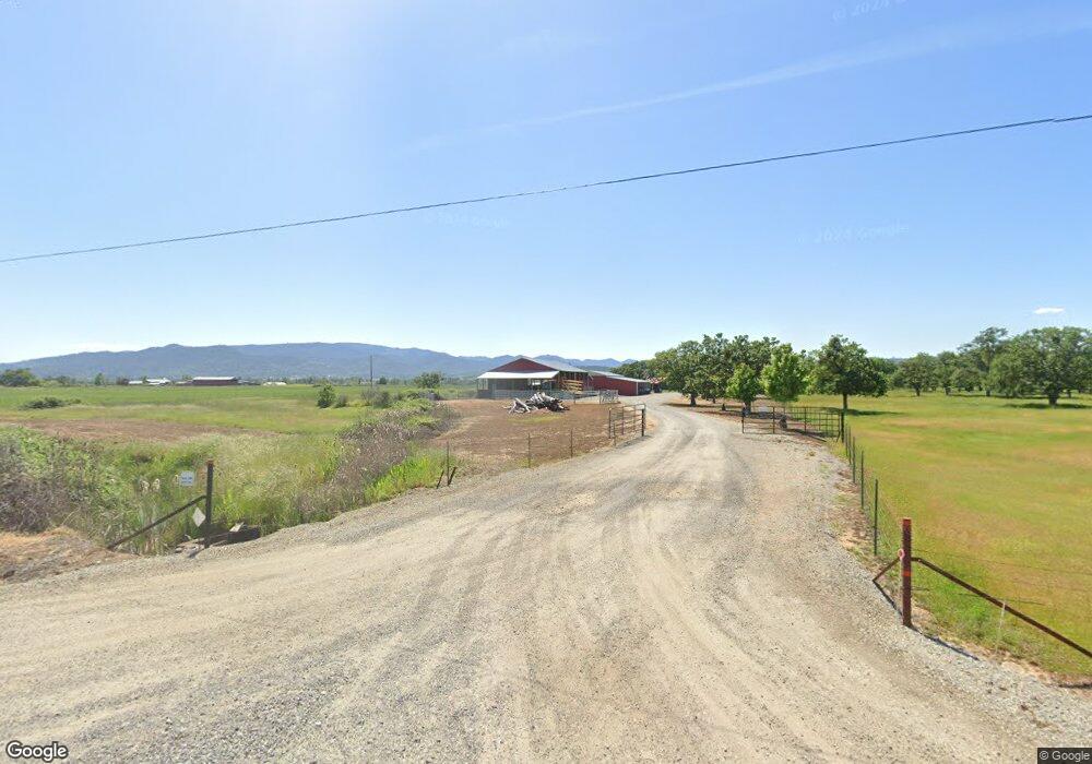
6873 Truax Rd Central Point, OR 97502
Estimated Value: $1,002,116 - $1,611,000
4
Beds
2
Baths
2,743
Sq Ft
$463/Sq Ft
Est. Value
About This Home
This home is located at 6873 Truax Rd, Central Point, OR 97502 and is currently estimated at $1,269,779, approximately $462 per square foot. 6873 Truax Rd is a home located in Jackson County with nearby schools including Jewett Elementary School, Scenic Middle School, and Crater High School.
Ownership History
Date
Name
Owned For
Owner Type
Purchase Details
Closed on
Nov 16, 2009
Sold by
Galpin Ca
Bought by
Kodiak Llc
Current Estimated Value
Purchase Details
Closed on
Dec 31, 2007
Sold by
Decoite Thomas N
Bought by
Galpin C A
Purchase Details
Closed on
Jul 27, 2006
Sold by
Crowder Emry L
Bought by
Decoite Thomas N
Create a Home Valuation Report for This Property
The Home Valuation Report is an in-depth analysis detailing your home's value as well as a comparison with similar homes in the area
Home Values in the Area
Average Home Value in this Area
Purchase History
| Date | Buyer | Sale Price | Title Company |
|---|---|---|---|
| Kodiak Llc | -- | Accommodation | |
| Galpin C A | $1,050,000 | Amerititle | |
| Decoite Thomas N | $300,000 | Amerititle | |
| Decoite Thomas N | -- | Amerititle |
Source: Public Records
Tax History Compared to Growth
Tax History
| Year | Tax Paid | Tax Assessment Tax Assessment Total Assessment is a certain percentage of the fair market value that is determined by local assessors to be the total taxable value of land and additions on the property. | Land | Improvement |
|---|---|---|---|---|
| 2025 | $4,593 | $382,998 | $13,738 | $369,260 |
| 2024 | $4,593 | $371,960 | $13,450 | $358,510 |
| 2023 | $4,441 | $361,248 | $13,178 | $348,070 |
| 2022 | $4,349 | $361,248 | $13,178 | $348,070 |
| 2021 | $4,128 | $342,630 | $12,910 | $329,720 |
| 2020 | $3,866 | $320,948 | $12,648 | $308,300 |
| 2019 | $3,779 | $302,768 | $12,158 | $290,610 |
| 2018 | $3,663 | $294,069 | $11,919 | $282,150 |
| 2017 | $3,578 | $294,069 | $11,919 | $282,150 |
| 2016 | $3,475 | $277,424 | $11,464 | $265,960 |
| 2015 | $3,349 | $277,424 | $11,464 | $265,960 |
| 2014 | $3,270 | $261,746 | $11,036 | $250,710 |
Source: Public Records
Map
Nearby Homes
- 6199 Wilson Ln
- 6850 Downing Rd Unit 44
- 6850 Downing Rd Unit 65
- 644 Raven
- 6251 Ventura Ln
- 4035 Rock Way
- 335 Applewood Dr
- 2035 Rabun Way
- 356 Marian Ave Unit 40
- 413 Sand Pointe Dr
- 422 Castle Rock Dr
- 327 Brookhaven Dr
- 225 Wilson Rd
- 6048 Tolo Rd
- 426 Bridge Creek Dr
- 4626 N Pacific Hwy
- 1409 Twin Rocks Dr
- 0 Peninger Rd
- 920 N 10th St
- 1010 N 3rd St