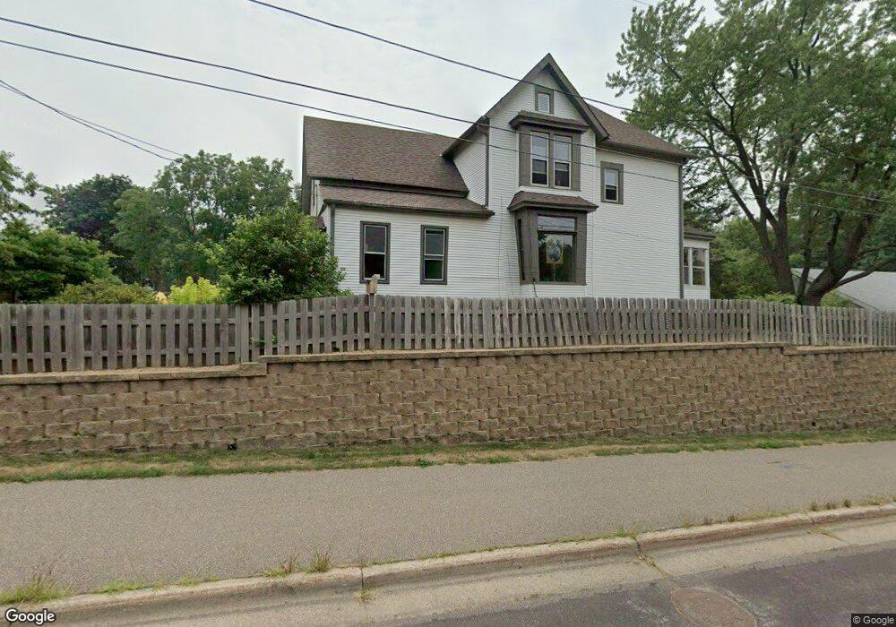
688 Marie Ave W Saint Paul, MN 55118
Estimated Value: $474,595 - $645,000
4
Beds
2
Baths
1,882
Sq Ft
$279/Sq Ft
Est. Value
About This Home
This home is located at 688 Marie Ave W, Saint Paul, MN 55118 and is currently estimated at $525,399, approximately $279 per square foot. 688 Marie Ave W is a home located in Dakota County with nearby schools including Somerset Elementary School, Heritage E-STEM Magnet School, and Two Rivers High School.
Ownership History
Date
Name
Owned For
Owner Type
Purchase Details
Closed on
Nov 8, 2021
Sold by
Reed Jeffrey A and Reed Laurie D
Bought by
Reed Jeffrey A and Reed Laurie D
Current Estimated Value
Purchase Details
Closed on
Feb 26, 2013
Sold by
Reed Jeffrey A and Reed Laurie D
Bought by
Reed Jeffrey A and Reed Laurie D
Purchase Details
Closed on
Dec 28, 2012
Sold by
Reed Jeffrey A and Reed Laurie D
Bought by
Reed Jeffrey A and Reed Laurie D
Create a Home Valuation Report for This Property
The Home Valuation Report is an in-depth analysis detailing your home's value as well as a comparison with similar homes in the area
Home Values in the Area
Average Home Value in this Area
Purchase History
| Date | Buyer | Sale Price | Title Company |
|---|---|---|---|
| Reed Jeffrey A | -- | None Available | |
| Reed Jeffrey A | -- | None Available | |
| Reed Jeffrey A | -- | None Available |
Source: Public Records
Tax History Compared to Growth
Tax History
| Year | Tax Paid | Tax Assessment Tax Assessment Total Assessment is a certain percentage of the fair market value that is determined by local assessors to be the total taxable value of land and additions on the property. | Land | Improvement |
|---|---|---|---|---|
| 2024 | $4,096 | $472,000 | $123,900 | $348,100 |
| 2023 | $4,096 | $440,600 | $110,100 | $330,500 |
| 2022 | $4,054 | $454,000 | $109,900 | $344,100 |
| 2021 | $3,820 | $374,600 | $95,500 | $279,100 |
| 2020 | $3,894 | $346,700 | $91,000 | $255,700 |
| 2019 | $3,682 | $339,900 | $86,700 | $253,200 |
| 2018 | $3,539 | $304,800 | $81,000 | $223,800 |
| 2017 | $3,595 | $301,100 | $77,100 | $224,000 |
| 2016 | $3,331 | $294,900 | $73,400 | $221,500 |
| 2015 | $3,507 | $260,439 | $69,997 | $190,442 |
| 2014 | -- | $264,581 | $66,217 | $198,364 |
| 2013 | -- | $260,548 | $64,088 | $196,460 |
Source: Public Records
Map
Nearby Homes
- 679 Marie Ave W
- 1774 Dodd Rd
- 685 Hidden Creek Trail
- 1912 South Ln
- 614 Hidden Creek Trail
- 792 Hilltop Rd
- 1941 Dodd Rd
- 600 Wentworth Ave
- 485 Preserve Path
- 884 Marie Ave W
- 1810 Delaware Ave
- XXX Barbara Ct
- 1860 Eagle Ridge Dr Unit W303
- 795 Creek Ave
- 912 Crown Ct
- 1626 Diane Rd
- 1759 Lilac Ln
- 2122 Delaware Ave
- 2222 Apache St
- 1320 Riverside Ln Unit 303
- 700 Marie Ave W
- 696 Callahan Place
- 672 672 Marie-Avenue-w
- 688 Callahan Place
- 1818 Dodd Rd
- 710 Marie Ave W
- 672 Marie Ave W
- 672 672 Marie Ave W
- 682 Callahan Place
- 1780 Dodd Rd
- 675 Marie Ave W
- 1836 Dodd Rd
- 685 Callahan Place
- 666 Marie Ave W
- 1836 Dodd Rd
- 681 Callahan Place
- 1770 Dodd Rd
- 660 Marie Ave W
- 1834 Dodd Rd
- 663 Marie Ave W