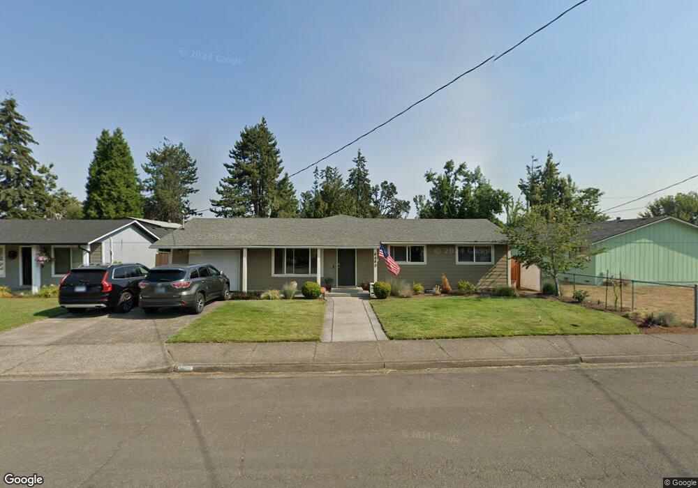
6880 A St Springfield, OR 97478
Thurston NeighborhoodEstimated Value: $429,000 - $499,000
4
Beds
2
Baths
1,872
Sq Ft
$247/Sq Ft
Est. Value
About This Home
This home is located at 6880 A St, Springfield, OR 97478 and is currently estimated at $462,252, approximately $246 per square foot. 6880 A St is a home located in Lane County with nearby schools including Ridgeview Elementary School, Thurston Middle School, and Thurston High School.
Create a Home Valuation Report for This Property
The Home Valuation Report is an in-depth analysis detailing your home's value as well as a comparison with similar homes in the area
Home Values in the Area
Average Home Value in this Area
Tax History
| Year | Tax Paid | Tax Assessment Tax Assessment Total Assessment is a certain percentage of the fair market value that is determined by local assessors to be the total taxable value of land and additions on the property. | Land | Improvement |
|---|---|---|---|---|
| 2025 | $4,077 | $222,335 | -- | -- |
| 2024 | $4,011 | $215,860 | -- | -- |
| 2023 | $4,011 | $209,573 | $0 | $0 |
| 2022 | $3,715 | $203,469 | $0 | $0 |
| 2021 | $3,648 | $197,543 | $0 | $0 |
| 2020 | $3,542 | $191,790 | $0 | $0 |
| 2019 | $3,435 | $186,204 | $0 | $0 |
| 2018 | $3,238 | $175,516 | $0 | $0 |
| 2017 | $3,114 | $175,516 | $0 | $0 |
| 2016 | $3,048 | $170,404 | $0 | $0 |
| 2015 | $2,961 | $165,441 | $0 | $0 |
| 2014 | $2,917 | $160,622 | $0 | $0 |
Source: Public Records
Map
Nearby Homes
- 6875 B St
- 250 68th St
- 353 71st St
- 246 S 70th St
- 6964 Bluebelle Way
- 0 71st St
- 555 66th St
- 6540 B St
- 0 S 69th Place
- 0 Omlid Dr Unit 1 706471345
- 0 Omlid Dr Unit 11
- 0 Omlid Dr Unit 27 796722689
- 0 Omlid Dr Unit 26 256458253
- 0 Omlid Dr Unit 10
- 0 Omlid Dr Unit 3 154724851
- 0 Omlid Dr Unit 2 312357104
- 7027 S E St
- 6898 Thurston Rd
- 616 S 71st St
- 6445 B St
Your Personal Tour Guide
Ask me questions while you tour the home.