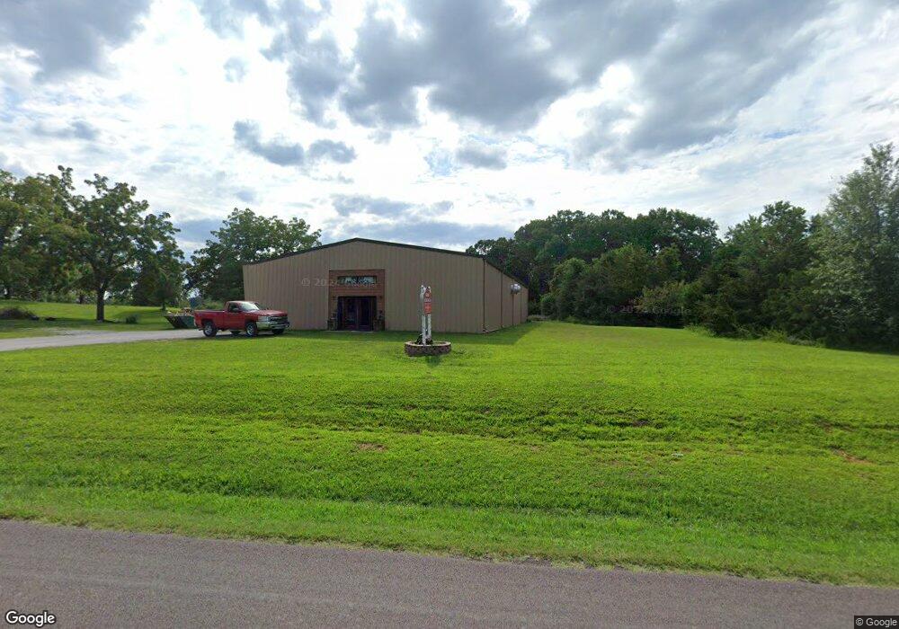
6883 State Route Bb West Plains, MO 65775
Estimated Value: $366,000
Studio
--
Bath
1,296
Sq Ft
$282/Sq Ft
Est. Value
About This Home
This home is located at 6883 State Route Bb, West Plains, MO 65775 and is currently estimated at $366,000, approximately $282 per square foot. 6883 State Route Bb is a home with nearby schools including West Plains Senior High School.
Ownership History
Date
Name
Owned For
Owner Type
Purchase Details
Closed on
Feb 27, 2007
Sold by
Wyatt Thomas C and Wyatt Bette
Bought by
Wood Rodney and Wood Stephanie
Current Estimated Value
Home Financials for this Owner
Home Financials are based on the most recent Mortgage that was taken out on this home.
Original Mortgage
$90,720
Outstanding Balance
$54,881
Interest Rate
6.25%
Mortgage Type
New Conventional
Estimated Equity
$311,119
Create a Home Valuation Report for This Property
The Home Valuation Report is an in-depth analysis detailing your home's value as well as a comparison with similar homes in the area
Purchase History
| Date | Buyer | Sale Price | Title Company |
|---|---|---|---|
| Wood Rodney | -- | None Available |
Source: Public Records
Mortgage History
| Date | Status | Borrower | Loan Amount |
|---|---|---|---|
| Open | Wood Rodney | $90,720 |
Source: Public Records
Tax History
| Year | Tax Paid | Tax Assessment Tax Assessment Total Assessment is a certain percentage of the fair market value that is determined by local assessors to be the total taxable value of land and additions on the property. | Land | Improvement |
|---|---|---|---|---|
| 2025 | $2,740 | $57,620 | $6,420 | $51,200 |
| 2024 | $2,724 | $55,560 | -- | -- |
| 2023 | $2,724 | $55,560 | $0 | $0 |
| 2022 | $2,567 | $52,460 | $0 | $0 |
| 2021 | $2,560 | $52,460 | $0 | $0 |
| 2020 | $2,560 | $51,050 | $0 | $0 |
| 2019 | $2,652 | $51,050 | $0 | $0 |
| 2018 | $673 | $14,500 | $0 | $0 |
| 2017 | $671 | $14,500 | $0 | $0 |
| 2015 | -- | $14,500 | $0 | $0 |
| 2014 | -- | $14,490 | $0 | $0 |
| 2013 | -- | $14,490 | $0 | $0 |
Source: Public Records
Map
Nearby Homes
- 6912 State Route Bb
- 5562 Private Road 2023
- 246 Private Road 1778
- 7584 Private Road 2453
- 000 County Road 2010
- 900 County Road 1280
- 6304 Cr 1820
- 6304 County Road 1820
- 2291 County Road 2010
- 4833 County Road 1540
- 3204 U S 63
- 343 Private Road 2018
- 3440 N Us Highway 63
- 373 Private Road 2016
- 1621 Sunset Terrace
- 0000 County Road 4300
- 1909 Kelly Ave
- 000 Ginger Drive Lot 7 Block 8 Dr
- 000
- 000 Ginger Drive Lot 7 Dr
- 5868 County Road 1580
- 5878 County Road 1580
- 5892 County Road 1580
- 5865 County Road 1580
- 5867 County Road 1580
- 5879 County Road 1580
- 6910 State Route Bb
- 5893 County Road 1580
- 5800 County Road 1540
- 6924 State Route Bb
- 5776 County Road 1540
- 5872 County Road 1540
- 6914 State Route Bb
- 6940 State Route Bb
- 6898 State Route Bb
- 6948 State Route Bb
- 6744 State Route Bb
- 0 Hwy Bb Unit 10816417
- 6804 State Route Bb
- 6804 State Route Bb
Your Personal Tour Guide
Ask me questions while you tour the home.