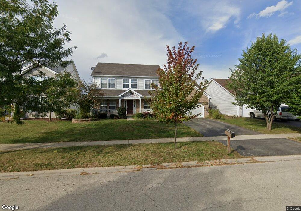
689 Manhattan Cir Oswego, IL 60543
Northwest Oswego NeighborhoodEstimated Value: $446,000 - $481,000
4
Beds
3
Baths
2,560
Sq Ft
$181/Sq Ft
Est. Value
About This Home
This home is located at 689 Manhattan Cir, Oswego, IL 60543 and is currently estimated at $463,428, approximately $181 per square foot. 689 Manhattan Cir is a home located in Kendall County with nearby schools including Fox Chase Elementary School, Traughber Junior High School, and Oswego High School.
Ownership History
Date
Name
Owned For
Owner Type
Purchase Details
Closed on
May 15, 2009
Sold by
Chew Ana M and Baloun Jeffrey A
Bought by
Baloun Jeffrey A
Current Estimated Value
Purchase Details
Closed on
Oct 28, 2005
Sold by
Richard Smykal Inc
Bought by
Baloun Jeffrey A and Chew Ana M
Home Financials for this Owner
Home Financials are based on the most recent Mortgage that was taken out on this home.
Original Mortgage
$50,250
Outstanding Balance
$28,714
Interest Rate
6.75%
Mortgage Type
Credit Line Revolving
Estimated Equity
$434,714
Create a Home Valuation Report for This Property
The Home Valuation Report is an in-depth analysis detailing your home's value as well as a comparison with similar homes in the area
Home Values in the Area
Average Home Value in this Area
Purchase History
We collect this data history from publicly available records. To have your information removed, we recommend requesting removal directly through your county’s website.
| Date | Buyer | Sale Price | Title Company |
|---|---|---|---|
| Baloun Jeffrey A | -- | None Available | |
| Baloun Jeffrey A | $335,000 | Chicago Title Insurance Co |
Source: Public Records
Mortgage History
We collect this data history from publicly available records. To have your information removed, we recommend requesting removal directly through your county’s website.
| Date | Status | Borrower | Loan Amount |
|---|---|---|---|
| Open | Baloun Jeffrey A | $50,250 | |
| Open | Baloun Jeffrey A | $268,000 |
Source: Public Records
Tax History
| Year | Tax Paid | Tax Assessment Tax Assessment Total Assessment is a certain percentage of the fair market value that is determined by local assessors to be the total taxable value of land and additions on the property. | Land | Improvement |
|---|---|---|---|---|
| 2024 | $10,904 | $141,502 | $29,309 | $112,193 |
| 2023 | $9,832 | $125,223 | $25,937 | $99,286 |
| 2022 | $9,832 | $114,883 | $23,795 | $91,088 |
| 2021 | $9,774 | $110,465 | $22,880 | $87,585 |
| 2020 | $9,469 | $106,216 | $22,000 | $84,216 |
| 2019 | $9,021 | $99,978 | $22,000 | $77,978 |
| 2018 | $9,353 | $102,679 | $28,514 | $74,165 |
| 2017 | $9,042 | $94,201 | $26,160 | $68,041 |
| 2016 | $8,888 | $91,457 | $25,398 | $66,059 |
| 2015 | $8,757 | $86,280 | $23,960 | $62,320 |
| 2014 | -- | $81,396 | $22,604 | $58,792 |
| 2013 | -- | $82,218 | $22,832 | $59,386 |
Source: Public Records
Map
Nearby Homes
- 628 Manhattan Cir Unit 2
- 303 Owen Ct
- 703 Ferret Crossing Unit 6
- 328 Ash Grove Ln
- 11 Shell Ct
- 219 Wolverine Dr Unit 8
- 604 Roosevelt Dr Unit 3
- 2400 Light Rd Unit 112
- 123 Eisenhower Dr
- 1415 State Route 31
- 402 Badger Ln
- 115 Harbor Dr
- 241 W Washington St Unit 3273
- 186 River Mist Dr
- 7.43 Acres Vacant La State Route 31
- 116 River Mist Dr
- 130 W Harvest Ct
- 5.43 B-3 Commercial State Route 31
- 133 River Mist Dr Unit 3
- 135 River Mist Dr Unit 2
- 691 Manhattan Cir
- 687 Manhattan Cir
- 693 Manhattan Cir Unit 2
- 685 Manhattan Cir
- 690 Manhattan Cir Unit 2
- 688 Manhattan Cir Unit 2
- 811 Columbus Dr Unit 2
- 809 Columbus Dr
- 695 Manhattan Cir Unit 2
- 683 Manhattan Cir
- 692 Manhattan Cir Unit 2
- 686 Manhattan Cir
- 807 Columbus Dr
- 694 Manhattan Cir Unit 2
- 813 Columbus Dr Unit 2
- 697 Manhattan Cir
- 684 Manhattan Cir
- 681 Manhattan Cir
- 411 Fawn Dr
- 696 Manhattan Cir
Your Personal Tour Guide
Ask me questions while you tour the home.