6890 NW State Route 92 Smithville, MO 64089
Estimated Value: $712,000 - $972,392
4
Beds
4
Baths
6,334
Sq Ft
$127/Sq Ft
Est. Value
About This Home
This home is located at 6890 NW State Route 92, Smithville, MO 64089 and is currently estimated at $805,131, approximately $127 per square foot. 6890 NW State Route 92 is a home located in Platte County with nearby schools including Platte County High School and Our Savior Christian Academy.
Ownership History
Date
Name
Owned For
Owner Type
Purchase Details
Closed on
Mar 30, 2005
Sold by
Supreme Homes Llc
Bought by
Price Jefery D
Current Estimated Value
Home Financials for this Owner
Home Financials are based on the most recent Mortgage that was taken out on this home.
Original Mortgage
$300,000
Outstanding Balance
$152,084
Interest Rate
5.71%
Mortgage Type
New Conventional
Estimated Equity
$653,047
Create a Home Valuation Report for This Property
The Home Valuation Report is an in-depth analysis detailing your home's value as well as a comparison with similar homes in the area
Home Values in the Area
Average Home Value in this Area
Purchase History
| Date | Buyer | Sale Price | Title Company |
|---|---|---|---|
| Price Jefery D | -- | Security Land Title |
Source: Public Records
Mortgage History
| Date | Status | Borrower | Loan Amount |
|---|---|---|---|
| Open | Price Jefery D | $300,000 |
Source: Public Records
Tax History Compared to Growth
Tax History
| Year | Tax Paid | Tax Assessment Tax Assessment Total Assessment is a certain percentage of the fair market value that is determined by local assessors to be the total taxable value of land and additions on the property. | Land | Improvement |
|---|---|---|---|---|
| 2024 | $5,376 | $72,821 | $5,414 | $67,407 |
| 2023 | $5,161 | $72,821 | $5,414 | $67,407 |
| 2022 | $5,260 | $72,821 | $5,414 | $67,407 |
| 2021 | $5,289 | $72,821 | $5,414 | $67,407 |
| 2020 | $5,159 | $73,197 | $5,790 | $67,407 |
| 2019 | $5,159 | $73,197 | $5,790 | $67,407 |
| 2018 | $5,199 | $73,197 | $5,790 | $67,407 |
| 2017 | $5,217 | $73,197 | $5,790 | $67,407 |
| 2016 | $5,167 | $73,197 | $5,790 | $67,407 |
| 2015 | $5,165 | $73,197 | $5,790 | $67,407 |
| 2013 | $4,673 | $73,148 | $0 | $0 |
Source: Public Records
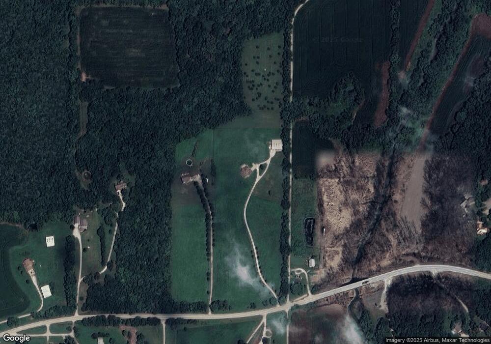
Map
Nearby Homes
- 5500 W Gale Rd
- 8422 Hoover Rd
- 15145 Lakeport Ln
- 707 Ridge Dr
- 16695 B Hwy
- 17135 Smith Rd
- 2635 Second Creek Rd
- 0 Smith Rd
- 14005 Supreme Ct
- 13201 NW Interurban Rd
- 14660 Cobblestone Dr
- 205 Double Tree Ln
- 104 S Prairie Rose Cir
- 7724 NW 124th St
- 92nd Smithville Rd
- 7816 NW 124th St
- 7711 NW 123rd Terrace
- 7743 NW 123 Terrace
- 12215 N Rhode Ct
- 12209 N Rhode Ct
- 7020 NW State Route 92
- 7130 NW State Route 92
- 6780 NW State Route 92
- 17 Asher Ln
- 16 Asher Ln
- 7245 NW State Route 92
- 7180 NW State Route 92
- 15 Asher Ln
- 14 Asher Ln
- 6501 NW State Route 92
- 6790 NW State Route 92
- 6503 NW State Route 92
- 13 Asher Ln
- 7410 Hoover Rd
- 12 Asher Ln
- 11 Asher Ln
- 6505 NW State Route 92
- 10 Asher Ln
- 7185 NW State Route 92
- 7 Asher Ln