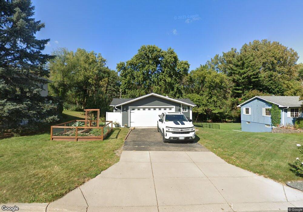
69 69 Sandralee Dr St. Paul, MN 55119
Battle Creek NeighborhoodEstimated Value: $321,549 - $350,000
4
Beds
2
Baths
684
Sq Ft
$492/Sq Ft
Est. Value
About This Home
This home is located at 69 69 Sandralee Dr, St. Paul, MN 55119 and is currently estimated at $336,637, approximately $492 per square foot. 69 69 Sandralee Dr is a home located in Ramsey County with nearby schools including Battle Creek Elementary School, Battle Creek Middle School, and Harding Senior High School.
Ownership History
Date
Name
Owned For
Owner Type
Purchase Details
Closed on
Nov 12, 2019
Sold by
Escobedo Daniel
Bought by
Berkland Bryan Scott and Morrissey Rebekah
Current Estimated Value
Home Financials for this Owner
Home Financials are based on the most recent Mortgage that was taken out on this home.
Original Mortgage
$174,400
Outstanding Balance
$153,427
Interest Rate
3.6%
Mortgage Type
New Conventional
Estimated Equity
$183,210
Create a Home Valuation Report for This Property
The Home Valuation Report is an in-depth analysis detailing your home's value as well as a comparison with similar homes in the area
Home Values in the Area
Average Home Value in this Area
Purchase History
| Date | Buyer | Sale Price | Title Company |
|---|---|---|---|
| Berkland Bryan Scott | $218,000 | Titlesmart Inc |
Source: Public Records
Mortgage History
| Date | Status | Borrower | Loan Amount |
|---|---|---|---|
| Open | Berkland Bryan Scott | $174,400 |
Source: Public Records
Tax History Compared to Growth
Tax History
| Year | Tax Paid | Tax Assessment Tax Assessment Total Assessment is a certain percentage of the fair market value that is determined by local assessors to be the total taxable value of land and additions on the property. | Land | Improvement |
|---|---|---|---|---|
| 2025 | $4,426 | $273,300 | $44,600 | $228,700 |
| 2023 | $4,426 | $292,800 | $44,600 | $248,200 |
| 2022 | $3,682 | $283,900 | $44,600 | $239,300 |
| 2021 | $3,764 | $238,800 | $44,600 | $194,200 |
| 2020 | $3,356 | $251,300 | $44,600 | $206,700 |
| 2019 | $3,956 | $213,100 | $44,600 | $168,500 |
| 2018 | $3,588 | $212,500 | $44,600 | $167,900 |
| 2017 | $3,756 | $199,300 | $39,200 | $160,100 |
| 2016 | $3,726 | $0 | $0 | $0 |
| 2015 | $3,230 | $191,200 | $39,200 | $152,000 |
| 2014 | $3,198 | $0 | $0 | $0 |
Source: Public Records
Map
Nearby Homes
- 1989 N Park Dr
- 2023 Parkside Dr
- 2063 N Park Dr Unit 6
- 2059 Parkside Dr Unit 29
- 138 Ruth St N Unit 9
- 49 Battle Creek Place
- 125 Battle Creek Place
- 38 Morningside Dr
- 1747 Louise Ave
- 2219 Cardinal Place
- 2169 Glenridge Ave
- 125 Mcknight Rd N Unit K
- 2243 Edgebrook Ave
- 1883 Garden Way
- 1810 Wilson Ave
- 442 White Bear Ave N
- 2029 Conway St
- 2226 Lower Afton Rd E
- 1526 Upper Afton Rd
- 1991 3rd St E
- 69 W Sandra Lee Dr
- 73 W Sandra Lee Dr
- 61 W Sandra Lee Dr
- 72 E Sandra Lee Dr
- 70 W Sandra Lee Dr
- 68 68 Sandra Lee-Drive-e
- 68 68 E Sandra Lee-Drive-
- 68 E Sandra Lee Dr
- 57 E Sandra Lee Dr
- 51 W Sandra Lee Dr
- 40 W Sandra Lee Dr
- 41 41 W Sandra Lee-Drive-
- 45 E Sandra Lee Dr
- 41 W Sandra Lee Dr
- 34 W Sandra Lee Dr
- 60 E Sandra Lee Dr
- 56 Darlene St
- 56 56 Darlene St
- 41 E Sandra Lee Dr
- 33 W Sandra Lee Dr