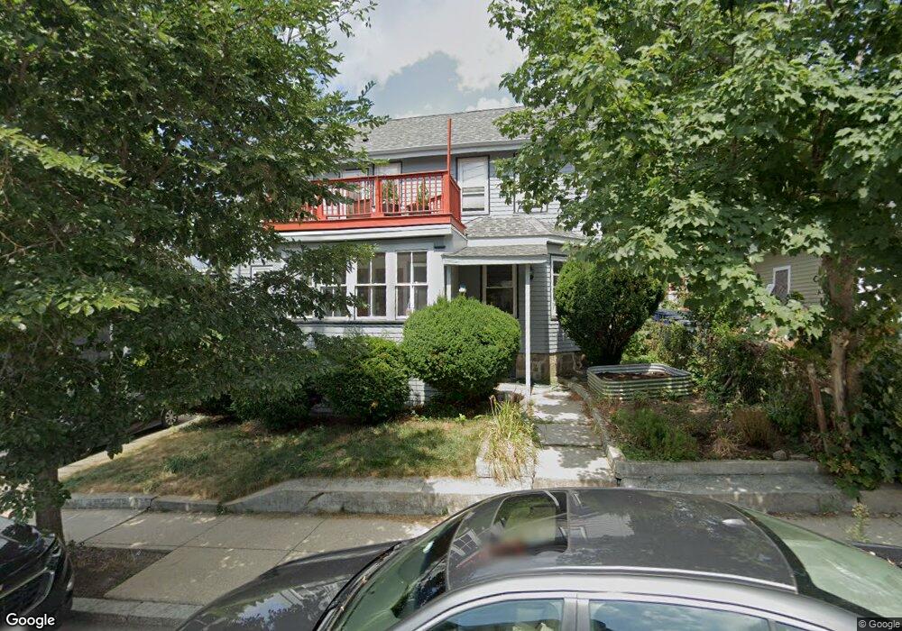
69 Albano St Unit 2 Roslindale, MA 02131
Roslindale NeighborhoodEstimated Value: $667,000 - $720,152
3
Beds
2
Baths
1,718
Sq Ft
$408/Sq Ft
Est. Value
About This Home
This home is located at 69 Albano St Unit 2, Roslindale, MA 02131 and is currently estimated at $701,788, approximately $408 per square foot. 69 Albano St Unit 2 is a home located in Suffolk County with nearby schools including Brooke Charter School Roslindale, Sacred Heart STEM School, and St. Clare High School.
Ownership History
Date
Name
Owned For
Owner Type
Purchase Details
Closed on
Oct 8, 2009
Sold by
Ladd David M
Bought by
Blome Franziska E and Walker Marcus A
Current Estimated Value
Home Financials for this Owner
Home Financials are based on the most recent Mortgage that was taken out on this home.
Original Mortgage
$210,000
Outstanding Balance
$137,546
Interest Rate
5.14%
Mortgage Type
Purchase Money Mortgage
Estimated Equity
$564,242
Create a Home Valuation Report for This Property
The Home Valuation Report is an in-depth analysis detailing your home's value as well as a comparison with similar homes in the area
Home Values in the Area
Average Home Value in this Area
Purchase History
| Date | Buyer | Sale Price | Title Company |
|---|---|---|---|
| Blome Franziska E | $280,000 | -- |
Source: Public Records
Mortgage History
| Date | Status | Borrower | Loan Amount |
|---|---|---|---|
| Open | Blome Franziska E | $210,000 |
Source: Public Records
Tax History Compared to Growth
Tax History
| Year | Tax Paid | Tax Assessment Tax Assessment Total Assessment is a certain percentage of the fair market value that is determined by local assessors to be the total taxable value of land and additions on the property. | Land | Improvement |
|---|---|---|---|---|
| 2025 | $7,380 | $637,300 | $0 | $637,300 |
| 2024 | $6,027 | $552,900 | $0 | $552,900 |
| 2023 | $5,821 | $542,000 | $0 | $542,000 |
| 2022 | $5,513 | $506,700 | $0 | $506,700 |
| 2021 | $5,301 | $496,800 | $0 | $496,800 |
| 2020 | $4,905 | $464,500 | $0 | $464,500 |
| 2019 | $4,837 | $458,900 | $0 | $458,900 |
| 2018 | $4,416 | $421,400 | $0 | $421,400 |
| 2017 | $4,249 | $401,200 | $0 | $401,200 |
| 2016 | $4,049 | $368,100 | $0 | $368,100 |
| 2015 | $3,875 | $320,000 | $0 | $320,000 |
| 2014 | $3,598 | $286,000 | $0 | $286,000 |
Source: Public Records
Map
Nearby Homes
- 65 Birch St Unit 3
- 80 Roslindale Ave Unit 3
- 142 Birch St
- 142 Birch St Unit 1
- 142 Birch St Unit 2
- 112 Roslindale Ave Unit 2
- 103 Belgrade Ave Unit 2
- 17 Metcalf St
- 15 S Fairview St Unit 3
- 55 Metropolitan Ave
- 0 Averton St
- 69 Metropolitan Ave
- 79 Robert St Unit 3
- 34 Averton St
- 67 Cummins Hwy Unit 101
- 25 Crandall St
- 15 Newburg St Unit 1
- 142 Metropolitan Ave Unit A
- 276 Cornell St
- 108 Florence St Unit 3
- 69 Albano St Unit 1
- 69 Albano St
- 73 Albano St
- 4335 Washington St
- 4335 Washington St Unit 2
- 4331 Washington St
- 72 Cohasset St
- 72 Cohasset St Unit 1
- 4327 Washington St
- 70 Albano St
- 78 Albano St
- 78 Albano St Unit 1
- 74 Albano St
- 68 Cohasset St
- 66 Albano St
- 4325 Washington St
- 4325 Washington St Unit 2
- 77 Cohasset St
- 4341 Washington St Unit A
- 82 Albano St