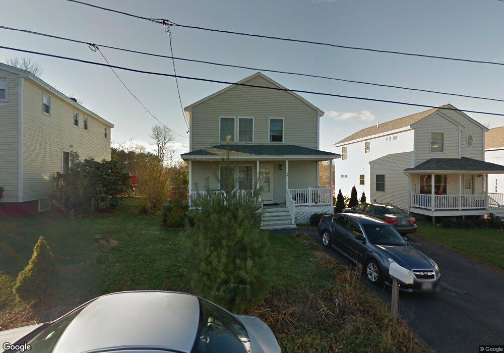
69 Anderson Ave Westbrook, ME 04092
Estimated Value: $491,000 - $538,000
3
Beds
2
Baths
1,500
Sq Ft
$339/Sq Ft
Est. Value
About This Home
This home is located at 69 Anderson Ave, Westbrook, ME 04092 and is currently estimated at $508,912, approximately $339 per square foot. 69 Anderson Ave is a home located in Cumberland County with nearby schools including Westbrook High School, The Little Dolphin School Foundation, and Breakwater School.
Ownership History
Date
Name
Owned For
Owner Type
Purchase Details
Closed on
Nov 13, 2007
Sold by
Rm Inc
Bought by
Slasten Laplante Olga V
Current Estimated Value
Home Financials for this Owner
Home Financials are based on the most recent Mortgage that was taken out on this home.
Original Mortgage
$217,200
Outstanding Balance
$138,061
Interest Rate
6.47%
Mortgage Type
Purchase Money Mortgage
Estimated Equity
$370,851
Create a Home Valuation Report for This Property
The Home Valuation Report is an in-depth analysis detailing your home's value as well as a comparison with similar homes in the area
Home Values in the Area
Average Home Value in this Area
Purchase History
| Date | Buyer | Sale Price | Title Company |
|---|---|---|---|
| Slasten Laplante Olga V | -- | -- |
Source: Public Records
Mortgage History
| Date | Status | Borrower | Loan Amount |
|---|---|---|---|
| Open | Slasten Laplante Olga V | $217,200 |
Source: Public Records
Tax History Compared to Growth
Tax History
| Year | Tax Paid | Tax Assessment Tax Assessment Total Assessment is a certain percentage of the fair market value that is determined by local assessors to be the total taxable value of land and additions on the property. | Land | Improvement |
|---|---|---|---|---|
| 2023 | $4,774 | $286,200 | $86,800 | $199,400 |
| 2022 | $4,331 | $239,300 | $72,300 | $167,000 |
| 2021 | $4,267 | $239,300 | $72,300 | $167,000 |
| 2020 | $4,274 | $239,300 | $72,300 | $167,000 |
| 2019 | $4,274 | $239,300 | $72,300 | $167,000 |
| 2018 | $4,178 | $209,400 | $62,900 | $146,500 |
| 2017 | $3,953 | $209,400 | $62,900 | $146,500 |
| 2016 | $3,853 | $209,400 | $62,900 | $146,500 |
| 2015 | $3,761 | $209,400 | $62,900 | $146,500 |
| 2014 | $3,602 | $209,400 | $62,900 | $146,500 |
| 2013 | $3,602 | $209,400 | $62,900 | $146,500 |
Source: Public Records
Map
Nearby Homes
- 77 Anderson Ave
- 245 Spring St Unit 8
- 140 Spring St
- 40 Oakland Ave
- 18 Doyle St
- 500 Spring St
- 25 Lawrence St Unit 32
- 94 Pennell St
- 154 Brackett St
- 124 Brackett St
- 186 Central St
- 640 Main St
- 141 Rochester St
- 26 Cross St
- 31 Cross St
- 77 Mechanic St
- 17 Mechanic St
- 68 Seavey St
- 115 Saco St Unit 2
- 18 Cole St
- 73 Anderson Ave
- 73 Anderson Ave Unit 2
- 55 Anderson Ave
- 67 Anderson Ave
- 72 Anderson Ave
- 51 Anderson Ave
- 52 Anderson Ave
- 93 Glenwood Ave
- 47 Anderson Ave
- 78 Anderson Ave
- 50 Anderson Ave
- 43 Anderson Ave
- 89 Glenwood Ave
- 85 Anderson Ave
- 95 Glenwood Ave
- 48 Anderson Ave
- 41 Anderson Ave
- 85 Glenwood Ave
- 3 Conner Dr
- 39 Anderson Ave