Estimated Value: $423,000 - $469,000
4
Beds
3
Baths
2,256
Sq Ft
$197/Sq Ft
Est. Value
About This Home
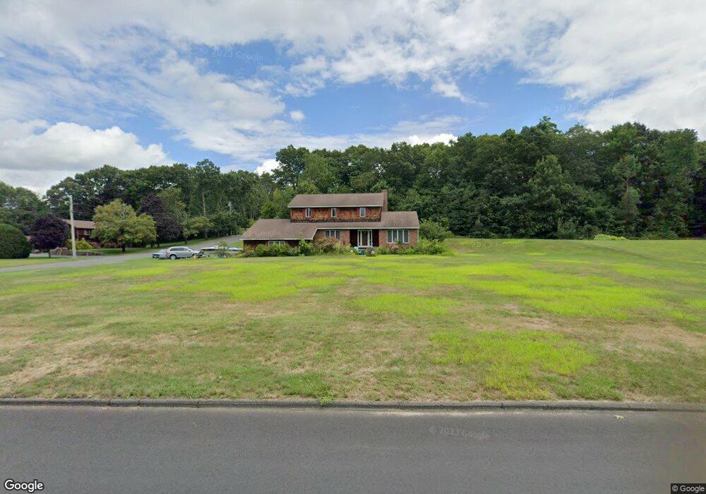
This home is located at 69 Anderson Rd, Ware, MA 01082 and is currently estimated at $444,090, approximately $196 per square foot. 69 Anderson Rd is a home located in Hampshire County with nearby schools including Stanley M. Koziol Elementary School, Ware Middle School, and Ware Junior/Senior High School.
Create a Home Valuation Report for This Property
The Home Valuation Report is an in-depth analysis detailing your home's value as well as a comparison with similar homes in the area
Home Values in the Area
Average Home Value in this Area
Tax History
| Year | Tax Paid | Tax Assessment Tax Assessment Total Assessment is a certain percentage of the fair market value that is determined by local assessors to be the total taxable value of land and additions on the property. | Land | Improvement |
|---|---|---|---|---|
| 2025 | $5,955 | $395,400 | $50,100 | $345,300 |
| 2024 | $5,712 | $349,800 | $47,200 | $302,600 |
| 2023 | $5,589 | $323,800 | $45,500 | $278,300 |
| 2022 | $5,435 | $281,000 | $42,100 | $238,900 |
| 2021 | $5,212 | $258,300 | $42,100 | $216,200 |
| 2020 | $5,038 | $244,200 | $42,100 | $202,100 |
| 2019 | $4,935 | $244,200 | $42,100 | $202,100 |
| 2018 | $4,830 | $233,200 | $41,000 | $192,200 |
| 2017 | $4,852 | $233,600 | $41,000 | $192,600 |
| 2016 | $4,721 | $233,600 | $41,000 | $192,600 |
| 2015 | $4,590 | $233,600 | $41,000 | $192,600 |
| 2014 | $4,449 | $243,000 | $41,600 | $201,400 |
Source: Public Records
Map
Nearby Homes
- 201 West St
- 310 Palmer Rd
- 201 Belchertown Rd
- LOT 3 Monson Turnpike Rd
- 375 Belchertown Rd
- 30 Warebrook Village
- 24 Clinton St
- 67 Babcock Tavern Rd
- Lot 16 Coldbrook Dr
- Lot 20 Coldbrook Dr
- Lot 22 Coldbrook Dr
- Lot 13 Coldbrook Dr
- Lot 25 Coldbrook Dr
- 87 W Main St
- 6 Winslow Rd
- 23 West St Unit 25
- 7 Webb Ct
- 60 Quaboag Valley Co Op St
- 79 Pleasant St
- 44 South St
Your Personal Tour Guide
Ask me questions while you tour the home.