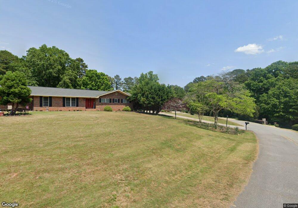
69 Arcadia Dr Toccoa, GA 30577
Estimated Value: $239,000 - $296,000
3
Beds
2
Baths
2,057
Sq Ft
$130/Sq Ft
Est. Value
About This Home
This home is located at 69 Arcadia Dr, Toccoa, GA 30577 and is currently estimated at $267,048, approximately $129 per square foot. 69 Arcadia Dr is a home located in Stephens County with nearby schools including Stephens County High School.
Ownership History
Date
Name
Owned For
Owner Type
Purchase Details
Closed on
Sep 16, 2008
Sold by
Not Provided
Bought by
Kaup Jason D and Kaup Stefanie E
Current Estimated Value
Home Financials for this Owner
Home Financials are based on the most recent Mortgage that was taken out on this home.
Original Mortgage
$107,000
Interest Rate
6.45%
Mortgage Type
New Conventional
Purchase Details
Closed on
Apr 1, 1997
Bought by
<Buyer Info Not Present>
Purchase Details
Closed on
Mar 1, 1993
Bought by
<Buyer Info Not Present>
Create a Home Valuation Report for This Property
The Home Valuation Report is an in-depth analysis detailing your home's value as well as a comparison with similar homes in the area
Purchase History
| Date | Buyer | Sale Price | Title Company |
|---|---|---|---|
| Kaup Jason D | $97,000 | -- | |
| Kaup Jason D | $97,000 | -- | |
| <Buyer Info Not Present> | -- | -- | |
| <Buyer Info Not Present> | -- | -- |
Source: Public Records
Mortgage History
| Date | Status | Borrower | Loan Amount |
|---|---|---|---|
| Closed | Kaup Jason D | $107,000 |
Source: Public Records
Tax History
| Year | Tax Paid | Tax Assessment Tax Assessment Total Assessment is a certain percentage of the fair market value that is determined by local assessors to be the total taxable value of land and additions on the property. | Land | Improvement |
|---|---|---|---|---|
| 2025 | $2,659 | $88,982 | $6,072 | $82,910 |
| 2024 | $2,260 | $65,113 | $6,072 | $59,041 |
| 2023 | $2,121 | $61,659 | $6,072 | $55,587 |
| 2022 | $1,705 | $59,279 | $6,072 | $53,207 |
| 2021 | $1,648 | $54,709 | $6,072 | $48,637 |
| 2020 | $1,536 | $50,636 | $6,072 | $44,564 |
| 2019 | $1,542 | $50,636 | $6,072 | $44,564 |
| 2018 | $1,542 | $50,636 | $6,072 | $44,564 |
| 2017 | $1,336 | $43,484 | $6,072 | $37,412 |
| 2016 | $1,318 | $43,568 | $6,156 | $37,411 |
| 2015 | $1,383 | $43,636 | $6,156 | $37,480 |
| 2014 | $1,406 | $43,637 | $6,157 | $37,480 |
| 2013 | -- | $43,636 | $6,156 | $37,480 |
Source: Public Records
Map
Nearby Homes
- 81 Boulder Dr
- 110 Valley Rd
- 1292 Fernside Dr
- 327 Ayers Creek Dr
- 41 Norwood Ave
- 148 Moreland Dr
- 0 Hwy 17 Alt Unit 10577119
- 122 King St
- 0 Stephen Dr Unit 10710969
- 0 Stephen Dr Unit 10710891
- 45 Hayes St
- 899 E Doyle St
- 27 Hilltop Ln
- 0 E Currahee St Unit 10544607
- 59 Sunset Ln
- 481 Collins Rd
- 185 Stancil Dr
- 253 Stancil Dr
- 43 Sycamore Dr
- 704 Skyline Dr
Your Personal Tour Guide
Ask me questions while you tour the home.