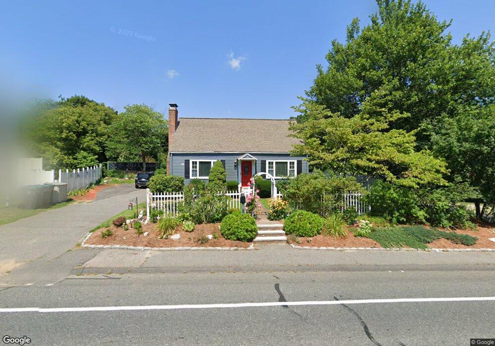
69 Bacon St Natick, MA 01760
Estimated Value: $862,421 - $949,000
4
Beds
2
Baths
1,948
Sq Ft
$466/Sq Ft
Est. Value
About This Home
This home is located at 69 Bacon St, Natick, MA 01760 and is currently estimated at $908,105, approximately $466 per square foot. 69 Bacon St is a home located in Middlesex County with nearby schools including Natick High School, Lilja Elementary School, and Wilson Middle School.
Ownership History
Date
Name
Owned For
Owner Type
Purchase Details
Closed on
Feb 17, 2010
Sold by
Flynn Brian P and Downer Sandra M
Bought by
Downer Sandra M
Current Estimated Value
Purchase Details
Closed on
Jun 1, 2001
Sold by
Colbath Terrance D and Colbath Nancy A
Bought by
Flynn Brian P and Downer Sandra M
Home Financials for this Owner
Home Financials are based on the most recent Mortgage that was taken out on this home.
Original Mortgage
$275,000
Interest Rate
7.09%
Mortgage Type
Purchase Money Mortgage
Purchase Details
Closed on
Dec 27, 1989
Sold by
Pineo Beatrice E
Bought by
Colbath Terrance D
Create a Home Valuation Report for This Property
The Home Valuation Report is an in-depth analysis detailing your home's value as well as a comparison with similar homes in the area
Home Values in the Area
Average Home Value in this Area
Purchase History
| Date | Buyer | Sale Price | Title Company |
|---|---|---|---|
| Downer Sandra M | -- | -- | |
| Flynn Brian P | $312,000 | -- | |
| Colbath Terrance D | $150,000 | -- |
Source: Public Records
Mortgage History
| Date | Status | Borrower | Loan Amount |
|---|---|---|---|
| Previous Owner | Colbath Terrance D | $275,000 | |
| Previous Owner | Colbath Terrance D | $105,500 |
Source: Public Records
Tax History Compared to Growth
Tax History
| Year | Tax Paid | Tax Assessment Tax Assessment Total Assessment is a certain percentage of the fair market value that is determined by local assessors to be the total taxable value of land and additions on the property. | Land | Improvement |
|---|---|---|---|---|
| 2025 | $8,242 | $689,100 | $458,600 | $230,500 |
| 2024 | $7,965 | $649,700 | $433,100 | $216,600 |
| 2023 | $7,847 | $620,800 | $406,900 | $213,900 |
| 2022 | $7,656 | $573,900 | $370,600 | $203,300 |
| 2021 | $5,213 | $532,900 | $350,300 | $182,600 |
| 2020 | $7,045 | $517,600 | $335,000 | $182,600 |
| 2019 | $4,921 | $517,600 | $335,000 | $182,600 |
| 2018 | $5,994 | $454,000 | $304,600 | $149,400 |
| 2017 | $0 | $417,400 | $270,700 | $146,700 |
| 2016 | $5,443 | $401,100 | $255,700 | $145,400 |
| 2015 | $5,105 | $369,400 | $255,700 | $113,700 |
Source: Public Records
Map
Nearby Homes
- 9 Arbor Cir
- 5 Oakridge Ave
- 191 E Central St
- 18 University Dr
- 31 Marion St
- 3 Pineridge Rd
- 200 Pond Rd
- 3 Bacon St
- 4 Shore Rd
- 3 Vale St Unit B
- 25 Sawin St
- 20 Marion St
- 10 Whittier Rd
- 15 Penobscot Rd
- 20 Florence St Unit B
- 62 E Central St Unit 305
- 67 E Central St & 5 Union St
- 16 Harvard St
- 7 Westwood Rd
- 17 Harwood Rd