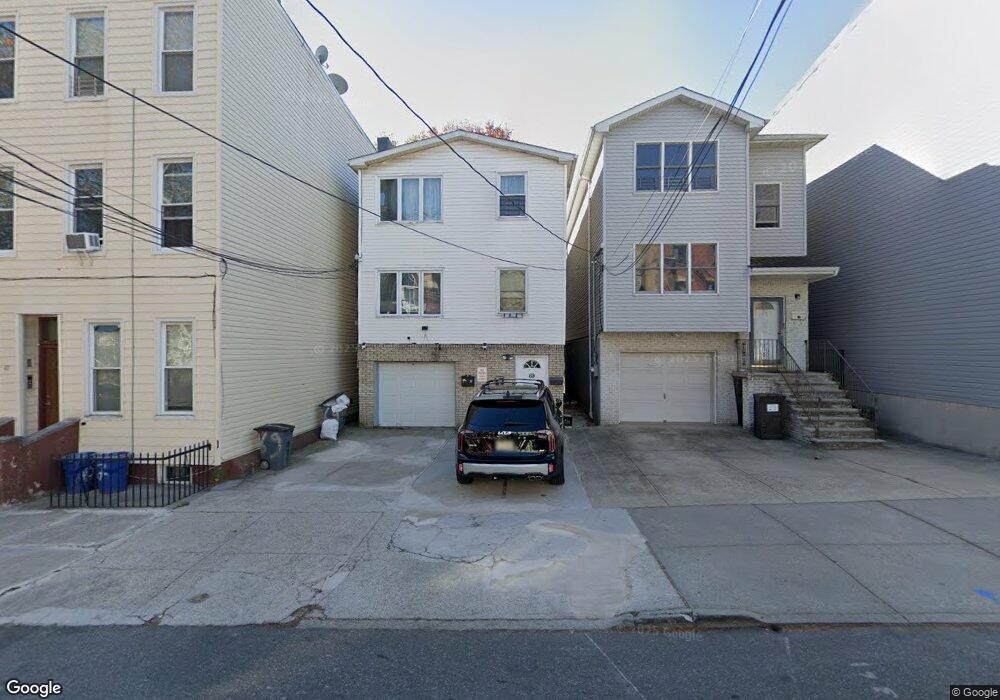
69 Bowers St Jersey City, NJ 07307
The Heights NeighborhoodEstimated Value: $999,713 - $1,284,000
6
Beds
--
Bath
3,276
Sq Ft
$346/Sq Ft
Est. Value
About This Home
This home is located at 69 Bowers St, Jersey City, NJ 07307 and is currently estimated at $1,132,678, approximately $345 per square foot. 69 Bowers St is a home located in Hudson County with nearby schools including Charles E. Trefurt School, William L. Dickinson High School, and Dr Ronald McNair High School.
Ownership History
Date
Name
Owned For
Owner Type
Purchase Details
Closed on
Dec 11, 1997
Sold by
Marine Midland Bank
Bought by
Morcos Mabil and Morcos Evon
Current Estimated Value
Purchase Details
Closed on
Jun 16, 1997
Sold by
Cassidy Joseph T
Bought by
Marine Midland Bank
Home Financials for this Owner
Home Financials are based on the most recent Mortgage that was taken out on this home.
Original Mortgage
$219,632
Interest Rate
7.87%
Create a Home Valuation Report for This Property
The Home Valuation Report is an in-depth analysis detailing your home's value as well as a comparison with similar homes in the area
Home Values in the Area
Average Home Value in this Area
Purchase History
| Date | Buyer | Sale Price | Title Company |
|---|---|---|---|
| Morcos Mabil | $105,000 | -- | |
| Marine Midland Bank | -- | -- |
Source: Public Records
Mortgage History
| Date | Status | Borrower | Loan Amount |
|---|---|---|---|
| Previous Owner | Marine Midland Bank | $219,632 |
Source: Public Records
Tax History Compared to Growth
Tax History
| Year | Tax Paid | Tax Assessment Tax Assessment Total Assessment is a certain percentage of the fair market value that is determined by local assessors to be the total taxable value of land and additions on the property. | Land | Improvement |
|---|---|---|---|---|
| 2025 | $13,583 | $608,300 | $232,800 | $375,500 |
| 2024 | $13,669 | $608,300 | $232,800 | $375,500 |
| 2023 | $13,669 | $608,300 | $232,800 | $375,500 |
| 2022 | $12,884 | $608,300 | $232,800 | $375,500 |
| 2021 | $9,757 | $608,300 | $232,800 | $375,500 |
| 2020 | $9,794 | $608,300 | $232,800 | $375,500 |
| 2019 | $9,368 | $608,300 | $232,800 | $375,500 |
| 2018 | $1,934 | $608,300 | $232,800 | $375,500 |
| 2017 | $10,140 | $130,000 | $19,200 | $110,800 |
| 2016 | $10,011 | $130,000 | $19,200 | $110,800 |
| 2015 | $9,727 | $130,000 | $19,200 | $110,800 |
| 2014 | $9,664 | $130,000 | $19,200 | $110,800 |
Source: Public Records
Map
Nearby Homes
- 141 Sherman Ave Unit 2
- 70 Bowers St Unit 3
- 70 Bowers St Unit 1
- 91 Hancock Ave Unit 2
- 91 Hancock Ave Unit 3
- 91 Hancock Ave Unit 1
- 91 Hancock Ave
- 134 Hancock Ave Unit 3
- 106 Griffith St
- 181 Webster Ave
- 84 Griffith St
- 235 Webster Ave
- 117 Sherman Ave
- 130 Griffith St
- 62 Hancock Ave
- 244 Webster Ave Unit 2
- 258 New York Ave Unit 3R/6
- 204 Sherman Ave
- 505 Palisade Ave
- 151 Webster Ave Unit 101
- 69 Bowers St Unit 1
- 71 Bowers St
- 67 Bowers St Unit 1R
- 67 Bowers St Unit 2R
- 67 Bowers St Unit 3L
- 67 Bowers St Unit 2L (3)
- 67 Bowers St
- 67 Bowers St Unit 1L
- 73 Bowers St
- 65 Bowers St
- 158 Sherman Ave Unit 2L
- 158 Sherman Ave Unit 2R
- 158 Sherman Ave Unit 3R
- 158 Sherman Ave Unit 1R
- 63 Bowers St
- 63 Bowers St Unit G
- 63 Bowers St Unit 1
- 156 Sherman Ave
- 154 Sherman Ave
- 154 Sherman Ave Unit 2