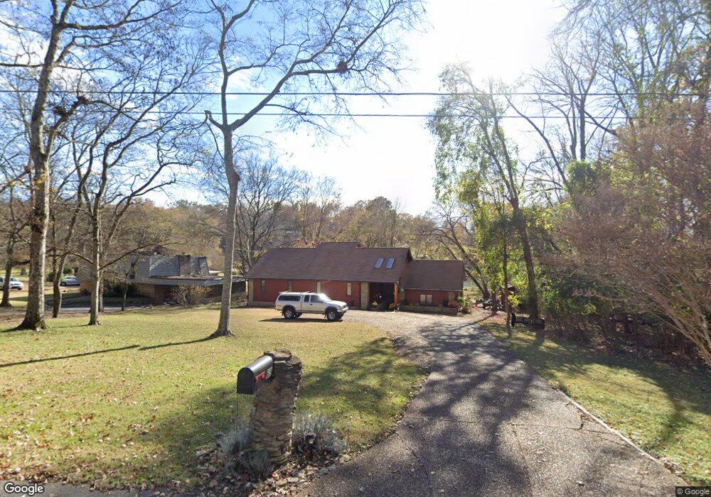
69 Carter Ln Mount Juliet, TN 37122
Estimated Value: $430,529 - $872,000
--
Bed
3
Baths
2,808
Sq Ft
$218/Sq Ft
Est. Value
About This Home
This home is located at 69 Carter Ln, Mount Juliet, TN 37122 and is currently estimated at $611,382, approximately $217 per square foot. 69 Carter Ln is a home located in Wilson County with nearby schools including Lakeview Elementary School, Mt. Juliet Middle School, and Green Hill High School.
Ownership History
Date
Name
Owned For
Owner Type
Purchase Details
Closed on
Apr 19, 2024
Sold by
Vaughan Vikki Marlyn and Easter Robert Hamilton
Bought by
Vikki Marlynn Vaughan Revocable Living Trust and Vaughan
Current Estimated Value
Purchase Details
Closed on
Oct 12, 2022
Sold by
Vaughan Vikki M
Bought by
Vaughan Vikki Marlyn and Hamilton Easter Robert
Purchase Details
Closed on
Oct 17, 1986
Bought by
Cockerham Vikki V Etvir John
Purchase Details
Closed on
Apr 4, 1904
Bought by
Vaughn William C
Create a Home Valuation Report for This Property
The Home Valuation Report is an in-depth analysis detailing your home's value as well as a comparison with similar homes in the area
Home Values in the Area
Average Home Value in this Area
Purchase History
| Date | Buyer | Sale Price | Title Company |
|---|---|---|---|
| Vikki Marlynn Vaughan Revocable Living Trust | -- | None Listed On Document | |
| Vikki Marlynn Vaughan Revocable Living Trust | -- | None Listed On Document | |
| Vaughan Vikki Marlyn | -- | -- | |
| Cockerham Vikki V Etvir John | -- | -- | |
| Vaughn William C | -- | -- |
Source: Public Records
Tax History Compared to Growth
Tax History
| Year | Tax Paid | Tax Assessment Tax Assessment Total Assessment is a certain percentage of the fair market value that is determined by local assessors to be the total taxable value of land and additions on the property. | Land | Improvement |
|---|---|---|---|---|
| 2024 | $1,522 | $79,750 | $22,500 | $57,250 |
| 2022 | $1,522 | $79,750 | $22,500 | $57,250 |
| 2021 | $1,522 | $79,750 | $22,500 | $57,250 |
| 2020 | $1,957 | $79,750 | $22,500 | $57,250 |
| 2019 | $1,957 | $77,675 | $20,625 | $57,050 |
| 2018 | $1,957 | $77,675 | $20,625 | $57,050 |
| 2017 | $1,957 | $77,675 | $20,625 | $57,050 |
| 2016 | $2,032 | $77,675 | $20,625 | $57,050 |
| 2015 | $2,074 | $80,675 | $20,625 | $60,050 |
| 2014 | $1,473 | $57,325 | $0 | $0 |
Source: Public Records
Map
Nearby Homes
- 1009 Mystic Streams Dr
- 14 Lake Forest Dr
- 1010 Noel Dr
- 300 Dani Ct
- 206 James Matthew Ln
- 37 Kebu Rd
- 2237 Saundersville Ferry Rd
- 333 Burris Rd
- 3904 Saundersville Ferry Rd
- 429 Beacon Hill Dr
- 1896 Saundersville Ferry Rd
- 310 Weeping Elm Rd
- 4245 Nonaville Rd
- 740 Lakeview Cir
- 220 Waterview Dr
- 541 Lakeview Cir
- 118B Moonlight Dr
- 425 Beth Dr
- 105 S Governors Cove
- 316 River Dr