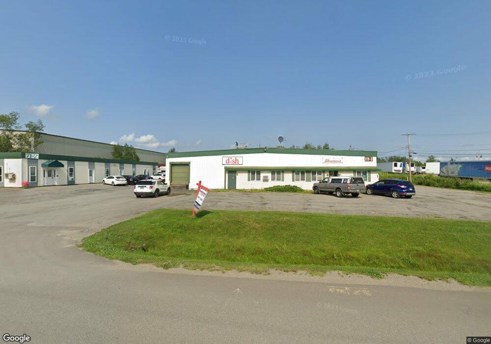
69 Freedom Pkwy Hermon, ME 04401
Estimated Value: $278,000
--
Bed
--
Bath
6,000
Sq Ft
$46/Sq Ft
Est. Value
About This Home
This home is located at 69 Freedom Pkwy, Hermon, ME 04401 and is currently estimated at $278,000, approximately $46 per square foot. 69 Freedom Pkwy is a home with nearby schools including Patricia A Duran School, Hermon Middle School, and Hermon High School.
Ownership History
Date
Name
Owned For
Owner Type
Purchase Details
Closed on
Dec 16, 2015
Sold by
Dahl Bernhoff A
Bought by
Rehoboth Land Holdings
Current Estimated Value
Home Financials for this Owner
Home Financials are based on the most recent Mortgage that was taken out on this home.
Original Mortgage
$180,000
Interest Rate
3.89%
Mortgage Type
Purchase Money Mortgage
Create a Home Valuation Report for This Property
The Home Valuation Report is an in-depth analysis detailing your home's value as well as a comparison with similar homes in the area
Home Values in the Area
Average Home Value in this Area
Purchase History
| Date | Buyer | Sale Price | Title Company |
|---|---|---|---|
| Rehoboth Land Holdings | -- | -- | |
| Rehoboth Land Holdings | -- | -- |
Source: Public Records
Mortgage History
| Date | Status | Borrower | Loan Amount |
|---|---|---|---|
| Closed | Rehoboth Land Holdings | $180,000 |
Source: Public Records
Tax History Compared to Growth
Tax History
| Year | Tax Paid | Tax Assessment Tax Assessment Total Assessment is a certain percentage of the fair market value that is determined by local assessors to be the total taxable value of land and additions on the property. | Land | Improvement |
|---|---|---|---|---|
| 2024 | $3,527 | $323,600 | $64,400 | $259,200 |
| 2023 | $3,039 | $258,600 | $60,000 | $198,600 |
| 2022 | $2,998 | $251,900 | $53,400 | $198,500 |
| 2021 | $2,999 | $250,100 | $51,600 | $198,500 |
| 2020 | $2,984 | $248,900 | $50,400 | $198,500 |
| 2019 | $2,970 | $247,700 | $49,200 | $198,500 |
| 2018 | $2,873 | $247,700 | $49,200 | $198,500 |
| 2017 | $3,010 | $246,700 | $31,900 | $214,800 |
| 2016 | $4,117 | $343,100 | $30,700 | $312,400 |
| 2015 | $3,145 | $262,100 | $29,500 | $232,600 |
| 2014 | $3,112 | $259,299 | $29,508 | $229,791 |
Source: Public Records
Map
Nearby Homes
- 281 Partridge Ln
- 287 Partridge Ln
- 273 Partridge Ln
- 283 Partridge Ln
- 1763 Union St
- 35 Silver Rd
- 744 Hammond St
- 35 Dunning Blvd
- 26 Knoll Crest Dr
- 850 Ohio St
- 41 Dana Dr
- 42 Yankee Ave
- 27 Dexter St
- 27 Lane St
- 28 Mountainview Ave
- 73 Papermill Rd
- 78 Webster Ave
- 37 Hunter Dr
- Lot 5 Hawks Crossing
- 2425- U S 2
- 71 Freedom Pkwy
- 0 Freedom Pkwy
- 78 Freedom Park
- 78 Freedom Pkwy
- 57 A-2 Freedom
- 57 Concord Dr
- 62 Liberty Dr
- 19-1 Freedom Pkwy
- 103 Freedom Pkwy
- 40 Freedom Pkwy
- 48 Liberty Dr
- 37 Liberty Dr
- 25 Freedom Pkwy
- 115 Freedom Pkwy
- 19 Freedom
- 17 Liberty Dr
- 44 Concord Dr
- 28 Freedom Park
- 14 Liberty Dr
- 9 Lexington Dr