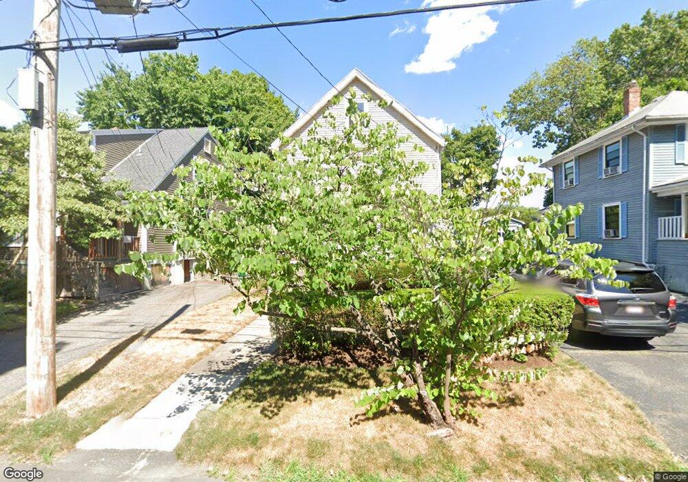
69 Harding St West Newton, MA 02465
West Newton NeighborhoodEstimated Value: $921,649 - $1,124,000
4
Beds
1
Bath
1,440
Sq Ft
$709/Sq Ft
Est. Value
About This Home
This home is located at 69 Harding St, West Newton, MA 02465 and is currently estimated at $1,021,162, approximately $709 per square foot. 69 Harding St is a home located in Middlesex County with nearby schools including Franklin Elementary School, Horace Mann Elementary School, and F.A. Day Middle School.
Create a Home Valuation Report for This Property
The Home Valuation Report is an in-depth analysis detailing your home's value as well as a comparison with similar homes in the area
Home Values in the Area
Average Home Value in this Area
Tax History Compared to Growth
Tax History
| Year | Tax Paid | Tax Assessment Tax Assessment Total Assessment is a certain percentage of the fair market value that is determined by local assessors to be the total taxable value of land and additions on the property. | Land | Improvement |
|---|---|---|---|---|
| 2025 | $7,515 | $766,800 | $0 | $0 |
| 2024 | $7,266 | $0 | $0 | $0 |
| 2023 | $6,847 | $672,600 | $576,100 | $96,500 |
| 2022 | $6,552 | $622,800 | $533,400 | $89,400 |
| 2021 | $6,322 | $587,500 | $503,200 | $84,300 |
| 2020 | $6,134 | $587,500 | $503,200 | $84,300 |
| 2019 | $5,961 | $570,400 | $488,500 | $81,900 |
| 2018 | $5,635 | $520,800 | $442,300 | $78,500 |
| 2017 | $5,463 | $491,300 | $417,300 | $74,000 |
| 2016 | $5,226 | $459,200 | $390,000 | $69,200 |
| 2015 | $4,983 | $429,200 | $364,500 | $64,700 |
Source: Public Records
Map
Nearby Homes
- 76 Harding St
- 76 Taft Ave Unit 1
- 76 Taft Ave
- 76 Taft Ave Unit 2
- 75 Cherry St
- 33 Joseph Rd
- 9 John St
- 1 Farwell Cir
- 162 Myrtle St Unit 1
- 39 Clinton St Unit 2
- 39 Clinton St Unit 1
- 176 River St
- 138 Myrtle St Unit 2
- 180 River St Unit 9
- 308 Newton St Unit 1
- 312 Newton St Unit 1A
- 10 Naviens Ln Unit 2
- 3 Repton Cir Unit 3204
- 28-32 Calvary St
- 240 River St