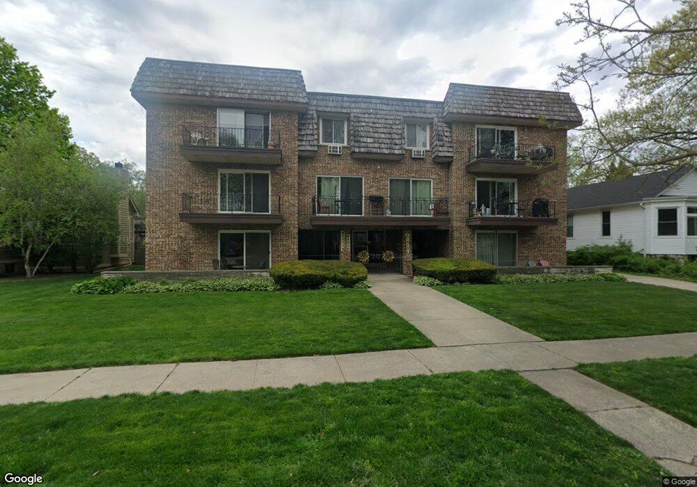
69 Lincoln Ave Unit 5 Riverside, IL 60546
Estimated Value: $161,000 - $236,000
--
Bed
--
Bath
16,188
Sq Ft
$13/Sq Ft
Est. Value
About This Home
This home is located at 69 Lincoln Ave Unit 5, Riverside, IL 60546 and is currently estimated at $206,758, approximately $12 per square foot. 69 Lincoln Ave Unit 5 is a home located in Cook County with nearby schools including Central Elementary School, L J Hauser Jr High School, and Riverside Brookfield High School.
Ownership History
Date
Name
Owned For
Owner Type
Purchase Details
Closed on
Oct 16, 2003
Sold by
Tedesco Dolores and Tedesco Delores
Bought by
Tedesco Dolores and Dolores Tedesco Living Trust
Current Estimated Value
Purchase Details
Closed on
Mar 1, 2001
Sold by
North Star Trust Company
Bought by
Tedesco Delores G and Tedesco Nunzio J
Purchase Details
Closed on
Dec 2, 1993
Sold by
Lindahl Susan E
Bought by
Imbior Anne B
Create a Home Valuation Report for This Property
The Home Valuation Report is an in-depth analysis detailing your home's value as well as a comparison with similar homes in the area
Home Values in the Area
Average Home Value in this Area
Purchase History
| Date | Buyer | Sale Price | Title Company |
|---|---|---|---|
| Tedesco Dolores | -- | -- | |
| Tedesco Delores G | $167,500 | -- | |
| Imbior Anne B | $91,333 | -- |
Source: Public Records
Tax History Compared to Growth
Tax History
| Year | Tax Paid | Tax Assessment Tax Assessment Total Assessment is a certain percentage of the fair market value that is determined by local assessors to be the total taxable value of land and additions on the property. | Land | Improvement |
|---|---|---|---|---|
| 2024 | $3,964 | $18,359 | $2,407 | $15,952 |
| 2023 | $2,565 | $18,359 | $2,407 | $15,952 |
| 2022 | $2,565 | $12,854 | $1,879 | $10,975 |
| 2021 | $2,524 | $12,853 | $1,878 | $10,975 |
| 2020 | $2,588 | $12,853 | $1,878 | $10,975 |
| 2019 | $3,627 | $16,479 | $1,702 | $14,777 |
| 2018 | $3,517 | $16,479 | $1,702 | $14,777 |
| 2017 | $3,439 | $16,479 | $1,702 | $14,777 |
| 2016 | $2,327 | $10,889 | $1,408 | $9,481 |
| 2015 | $2,200 | $10,889 | $1,408 | $9,481 |
| 2014 | $2,194 | $10,889 | $1,408 | $9,481 |
| 2013 | $1,798 | $10,272 | $1,408 | $8,864 |
Source: Public Records
Map
Nearby Homes
- 56 Forest Ave Unit 1N
- 78 Pine Ave
- 198 W Burlington St
- 207 W Quincy St Unit GARD
- 172 Olmsted Rd
- 269 Shenstone Rd
- 3842 Woodside Ave
- 339 Eastgrove Rd
- 3845 Mccormick Ave
- 7825 41st Place
- 2527 Keystone Ave
- 8034 42nd St
- 472 Northgate Ct
- 2513 Keystone Ave
- 4222 Prescott Ave
- 4147 Gage Ave
- 727 Selborne Rd
- 3515 S Harlem Ave Unit 1B
- 7335 Oakwood Ave Unit P-10
- 7335 Oakwood Ave Unit P-12
- 69 Lincoln Ave Unit 3
- 69 Lincoln Ave Unit 6
- 69 Lincoln Ave Unit 7
- 69 Lincoln Ave Unit 4
- 69 Lincoln Ave Unit 2
- 69 Lincoln Ave Unit 1
- 69 Lincoln Ave Unit 1N
- 73 Lincoln Ave
- 63 Lincoln Ave
- 77 Lincoln Ave
- 56 Kimbark Rd
- 60 Kimbark Rd
- 96 Forest Ave Unit 2
- 96 Forest Ave
- 96 Forest Ave Unit G
- 92 Forest Ave
- 52 Kimbark Rd
- 100 Forest Ave
- 100 Forest Ave Unit G
- 100 Forest Ave Unit 2